Earth
ID: 11247
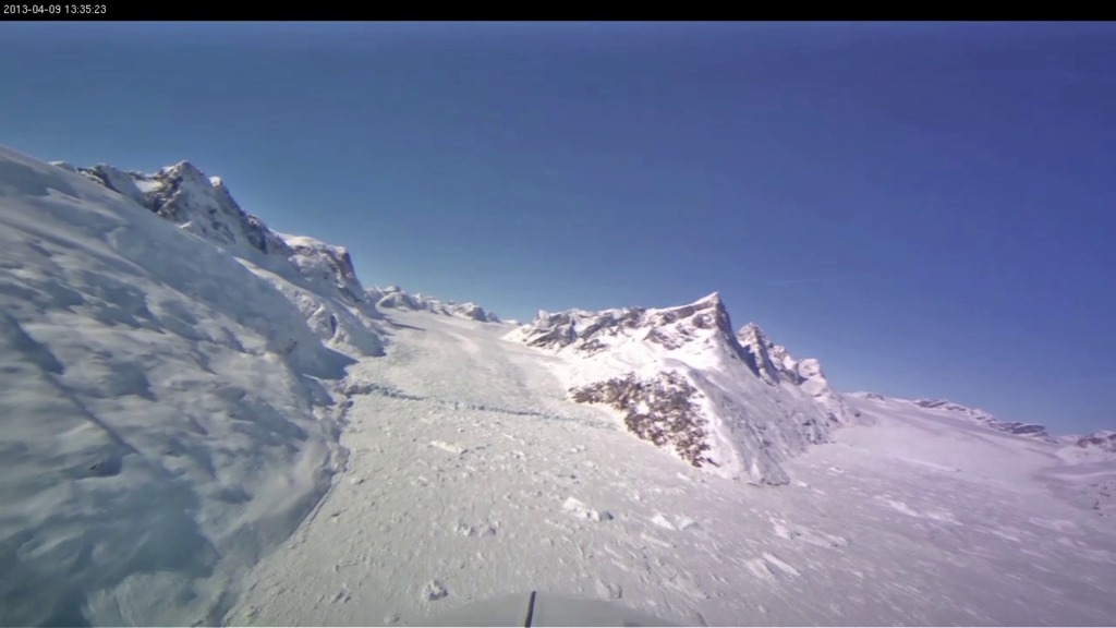
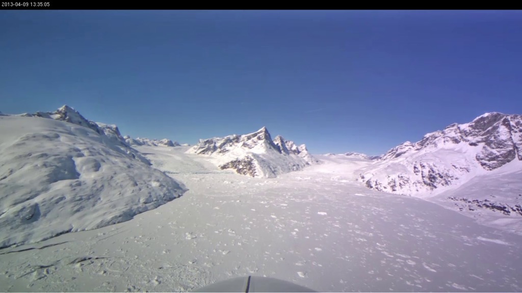
Few of us ever get to see Greenland's glaciers from 500 meters above the ice. But in this video — recorded on April 9, 2013 in southeast Greenland using a cockpit camera installed and operated by the National Suborbital Education and Research Center, or NSERC — we see what Operation IceBridge's pilots see as they fly NASA's P-3B airborne laboratory low over the Arctic. Following a glacier's sometimes winding flow line gives IceBridge researchers a perspective on the ice not possible from satellites which pass in straight lines overhead. By gathering such data, IceBridge is helping to build a continuous record of change in the polar regions.
Flying Low over Southeast Greenland
Credits
Michael Studinger (NASA/GSFC): Video Editor
Jefferson Beck (USRA): Video Editor
Jefferson Beck (USRA): Producer
Jefferson Beck (USRA): Video Editor
Jefferson Beck (USRA): Producer
Please give credit for this item to:
NASA/Goddard Space Flight Center Scientific Visualization Studio
NASA/Goddard Space Flight Center Scientific Visualization Studio
Short URL to share this page:
https://svs.gsfc.nasa.gov/11247
This item is part of this series:
Narrated Movies
Keywords:
SVS >> HDTV
SVS >> Airplane
GCMD >> Location >> Greenland
GCMD >> Location >> Arctic
SVS >> Operation IceBridge
NASA Science >> Earth
GCMD keywords can be found on the Internet with the following citation: Olsen, L.M., G. Major, K. Shein, J. Scialdone, S. Ritz, T. Stevens, M. Morahan, A. Aleman, R. Vogel, S. Leicester, H. Weir, M. Meaux, S. Grebas, C.Solomon, M. Holland, T. Northcutt, R. A. Restrepo, R. Bilodeau, 2013. NASA/Global Change Master Directory (GCMD) Earth Science Keywords. Version 8.0.0.0.0


