Earth
ID: 10881
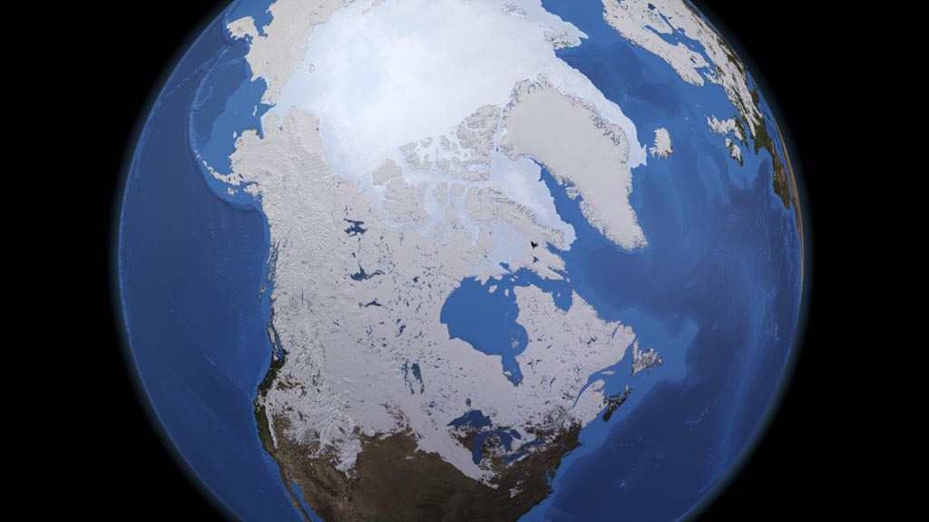
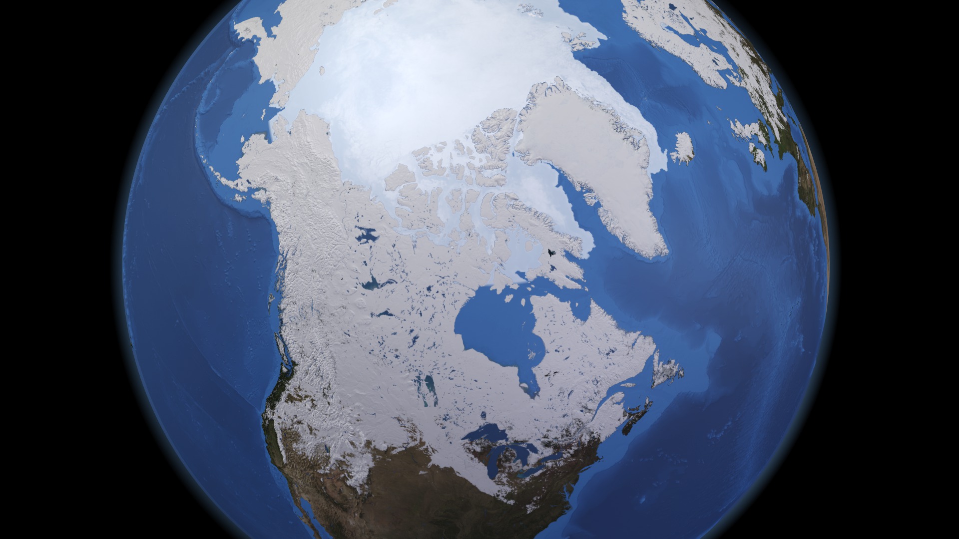
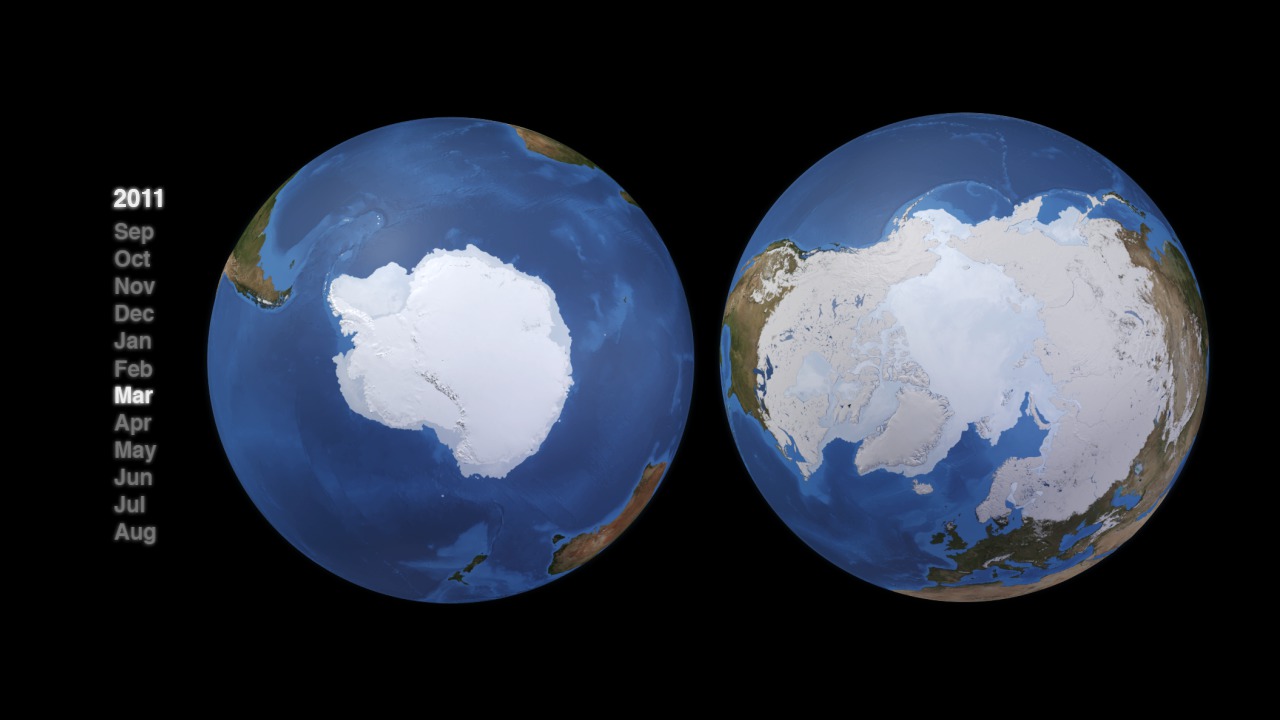
Seen from the vantage point of a satellite, snow covers much of North America for half the year like a white curtain that begins its descent in fall and isn't drawn up until spring. Lagging behind the snow by a month or so, sea ice spreads across the Arctic Ocean and infiltrates the channels, islands and bays of Alaska and Canada. Snow and sea ice share this leading-and-lagging relationship because of the different rates at which the ground and oceans absorb and emit heat. Land temperatures drop more quickly, and extensive snow cover settles in by October. The ocean has a longer memory of temperature. Arctic waters retain enough heat in fall to keep ice from forming well after snow has accumulated on solid ground at the same latitude. Likewise, Arctic sea ice doesn't reach its annual maximum extent until late March, typically more than a month after the snow cover peak. In the visualization below, keep an eye on the massive Hudson Bay in northern central Canada: Snow encircles the frigid body of water before the first sea ice creeps into the bay. In spring, snow retreats past the bay completely before its sea ice even begins to dissipate.

Snow Leads, Sea Ice Follows
Source Material
Story Credits
Lead Visualizer/Animator:
Helen-Nicole Kostis (USRA)
Visualizer/Animator:
Cindy Starr (Global Science and Technology, Inc.)
Lead Scientist:
Thorsten Markus (NASA/GSFC)
Lead Writers:
Patrick Lynch (Wyle Information Systems)
Adam P Voiland (Wyle Information Systems)
Maria-Jose Vinas Garcia (Telophase)
Helen-Nicole Kostis (USRA)
Visualizer/Animator:
Cindy Starr (Global Science and Technology, Inc.)
Lead Scientist:
Thorsten Markus (NASA/GSFC)
Lead Writers:
Patrick Lynch (Wyle Information Systems)
Adam P Voiland (Wyle Information Systems)
Maria-Jose Vinas Garcia (Telophase)
Please give credit for this item to:
NASA's Goddard Space Flight Center
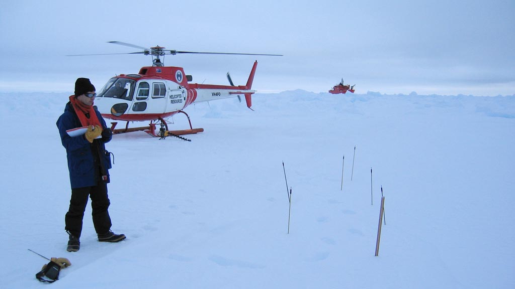
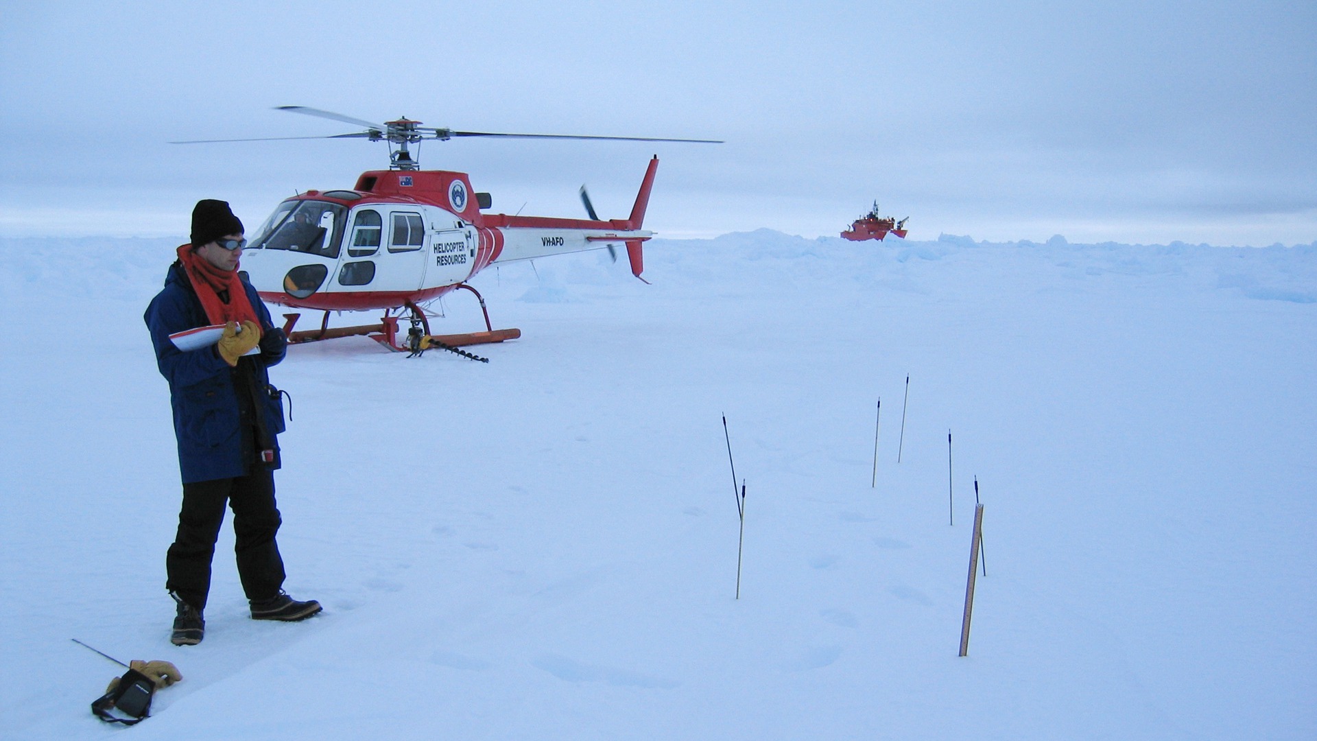
Photo courtesy of NASA/GSFC/Thorsten Markus
NASA's Goddard Space Flight Center
Photo courtesy of NASA/GSFC/Thorsten Markus
Short URL to share this page:
https://svs.gsfc.nasa.gov/10881
Keywords:
SVS >> App
NASA Science >> Earth
https://svs.gsfc.nasa.gov/10881
Keywords:
SVS >> App
NASA Science >> Earth


