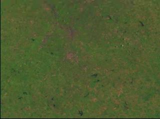
Atlanta Heat Island: Landsat Land Use Classification and Thermal IR Data
A comparison of land use and thermal infrared data of Atlanta from Landsat
For More Information
Credits
Please give credit for this item to:
NASA/Goddard Space Flight Center
Scientific Visualization Studio
-
Animator
- Jesse Allen (Raytheon)
-
Scientist
- Chor-Pang Lo (University of Georgia)
Missions
This page is related to the following missions:Series
This page can be found in the following series:Datasets used
-
[Landsat-5: TM]
ID: 53
Note: While we identify the data sets used on this page, we do not store any further details, nor the data sets themselves on our site.
Alternate Versions
- ID: 930
 Visualization
Release date
This page was originally published on Friday, April 9, 1999.
This page was last updated on Wednesday, May 3, 2023 at 1:59 PM EDT.