The VIPER Landing Site
FULL VIDEO: The VIPER team announces that its rover will be sent to the Nobile region near the Moon's South Pole to carry out its mission. Watch this video to learn more.
Music Provided by Universal Production Music: “The Butterfly Effect” – David Thomas Connolly
This video can also be viewed on YouTube.
NASA's first lunar mobile robot, the Volatiles Investigating Polar Exploration Rover, or VIPER, will map the location and concentration of water ice and other frozen volatiles in an area west of Nobile crater, near the lunar South Pole. Understanding the distribution of water and other resources on the Moon is vital for sustaining human exploration there. Scheduled to be delivered in late 2023 as part of the Commercial Lunar Payload Services (CLPS) initiative, the rover will explore an area of about 36 square miles during its 100-day mission.
This video shows where VIPER is going and explains the four main criteria for choosing the landing site: Earth visibility for two-way communications between the Moon and Earth, sunlight for power and thermal regulation, the potential presence of water and other resources, and terrain that is well-suited for VIPER to navigate.
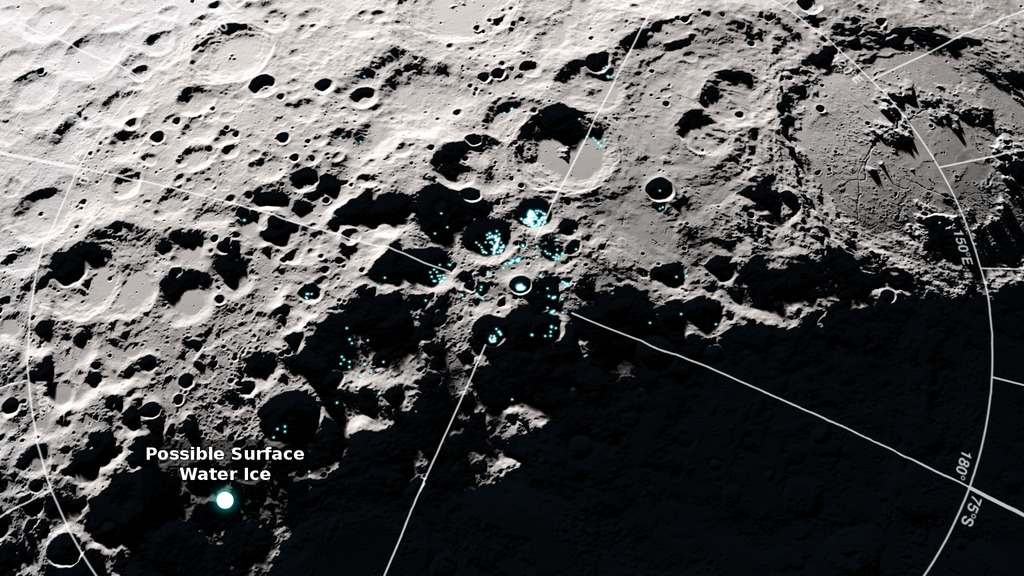
Beginning with a view of the full Moon, the camera flies to the lunar South Pole, then zooms in on the VIPER site next to Nobile crater. Data indicating surface frost at the South Pole is shown. Nobile crater is labeled and a box is drawn around the area VIPER will explore.
Beginning with a view of the full Moon, the camera flies to the lunar South Pole, then zooms in on the VIPER site next to Nobile crater. This version omits data overlays and labels.
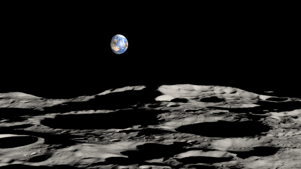
The Earth rises above the terrain of the Nobile region. From this vantage point, the Earth appears upside-down.
A close-up view of the area that will be explored by VIPER, showing a nominal traverse route and highlighting permanently shadowed regions that may contain water ice and other volatiles.
A close-up view of the area that will be explored by VIPER, showing a nominal traverse route. This version omits the permanently shadowed region overlay.
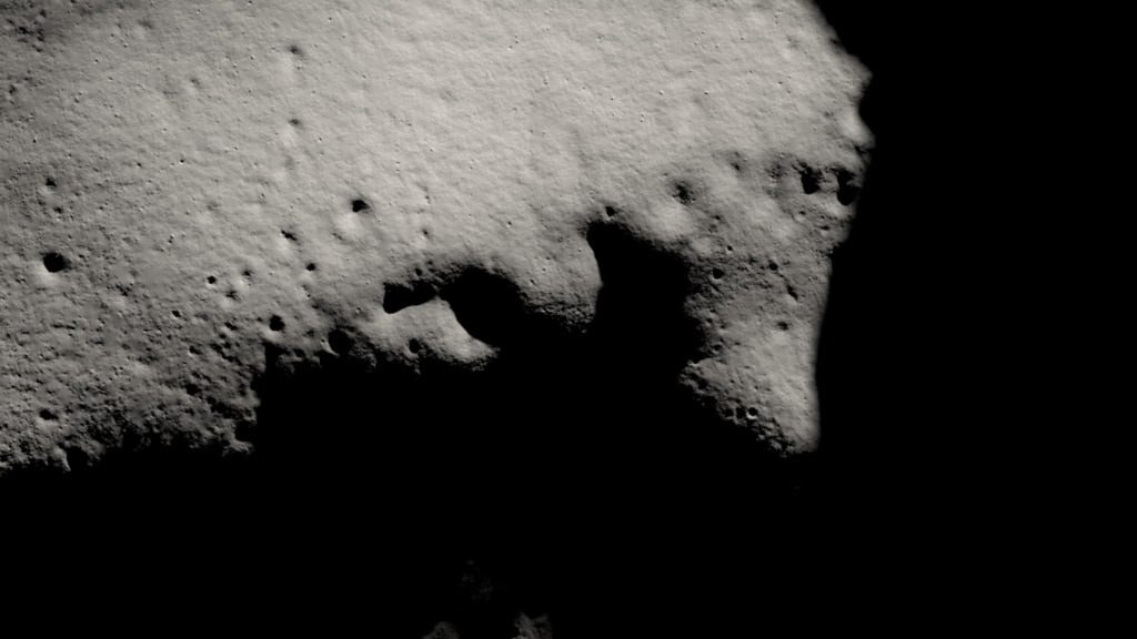
A close-up view of the area that will be explored by VIPER. This version omits the traverse route and the permanently shadowed region overlay.
The camera zooms out from the Nobile region to a view of the full Moon.
For More Information
Credits
Please give credit for this item to:
NASA's Scientific Visualization Studio
Music Provided by Universal Production Music: "The Butterfly Effect" – David Thomas Connolly
-
Visualizer
-
Ernie Wright
(USRA)
-
Ernie Wright
(USRA)
-
Producers
- David Ladd (Advocates in Manpower Management, Inc.)
- Katie L. Cousins (ARC-DO)
- Kayvon E. Sharghi (ARC-DO)
-
Video editor
- David Ladd (Advocates in Manpower Management, Inc.)
-
Scientist
- Anthony Colaprete (NASA/ARC-SST)
-
Narrator
- David Ladd (Advocates in Manpower Management, Inc.)
Datasets used
-
DEM (Digital Elevation Map) [LRO: LOLA]
ID: 653
Note: While we identify the data sets used on this page, we do not store any further details, nor the data sets themselves on our site.
Release date
This page was originally published on Monday, September 20, 2021.
This page was last updated on Sunday, February 2, 2025 at 10:52 PM EST.


