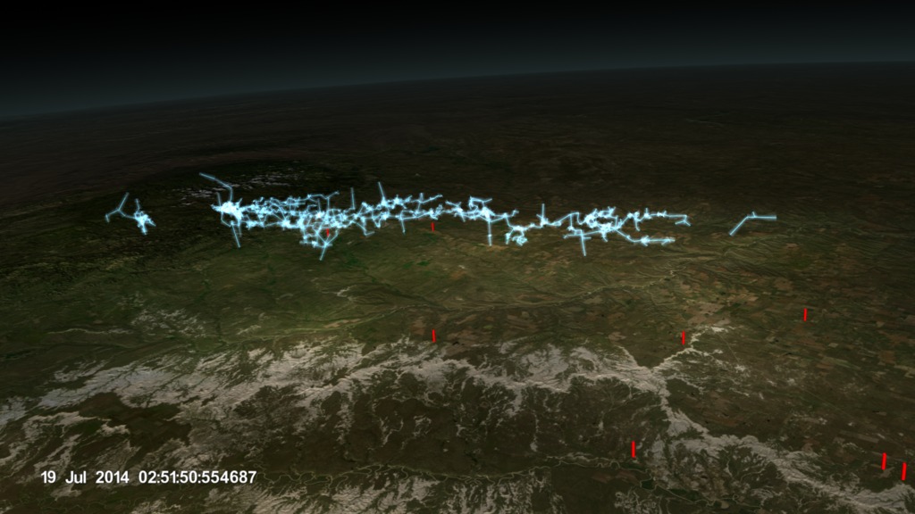
Massive Lightning Storm Lights up Northern Alabama
Animation showing a massive lightning storm form over Northern Alabama on September 2, 2012. Although the data shown here is based on real observations, the cloud cover data was only available for a very limited window of time as an experiment using the GOES-14 satellite. The cloud data comes from ground-based sensors. This animation is a proof-of-concept showing the kind of data that will be gathered by GOES-R on a regular basis.
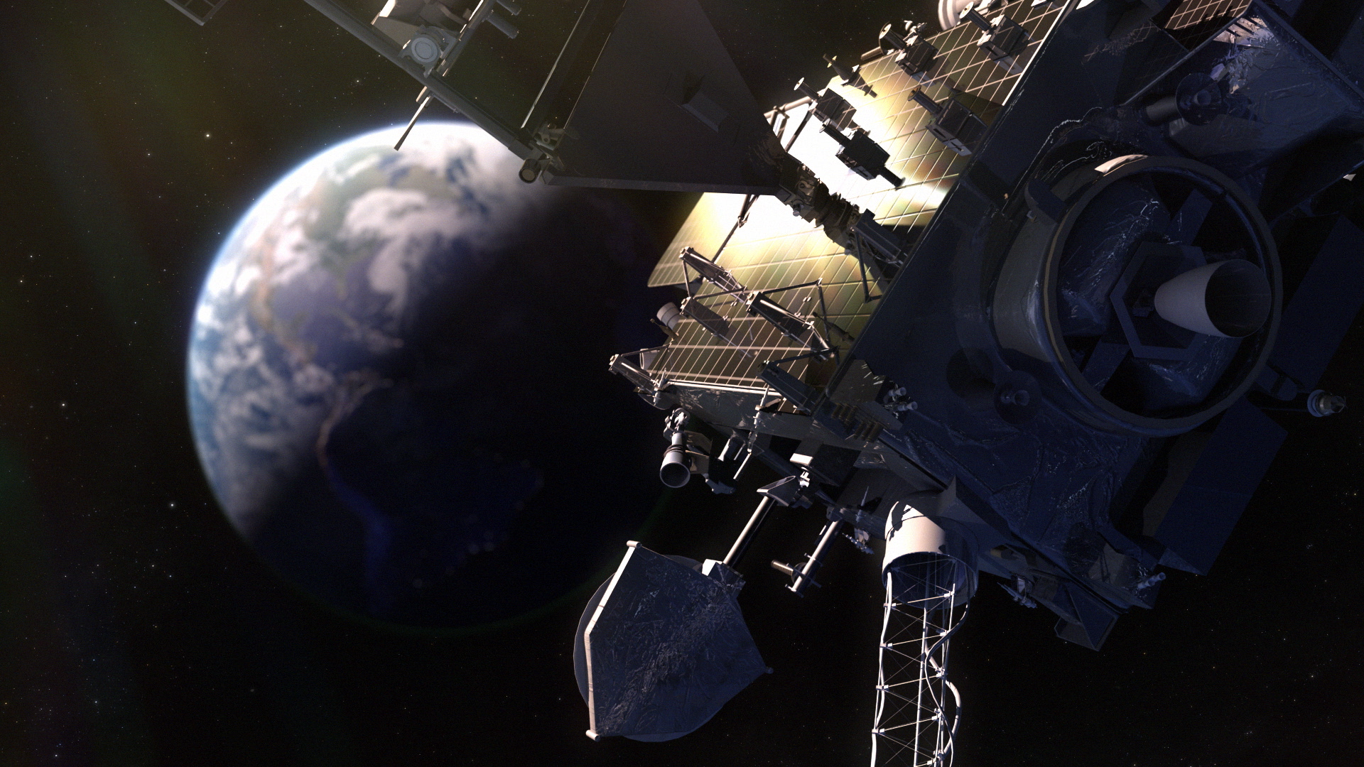
The Geostationary Operational Environmental Satellites - R Series (GOES-R) is the next generation of geostationary Earth-observing systems. The GOES-R program is a collaborative development and acquisition effort between the National Oceanic and Atmospheric Administration (NOAA) and NASA. The advanced spacecraft and instrument technology employed by the GOES-R series will provide significant improvements in the detection and observations of environmental phenomena that directly affect public safety, protection of property, and our nation's economic health and prosperity. The first satellite in the GOES-R series successfully launched on November 19, 2016. For more information on the GOES-R program please visit: goes-r.gov
Credits
Please give credit for this item to:
NASA's Scientific Visualization Studio & NOAA
-
Visualizers
-
Alex Kekesi
(Global Science and Technology, Inc.)

- Cheng Zhang (USRA)
-
Alex Kekesi
(Global Science and Technology, Inc.)
-
Data visualizer
- Horace Mitchell (NASA/GSFC)
-
Scientist
- Scott Rudlosky (NOAA/NESDIS/STAR)
-
Data providers
- Chris Kidd (University of Maryland)
- Dennis Chesters (NASA/GSFC)
Missions
This page is related to the following missions:Datasets used
-
NALMA (North Alabama Lightning Mapping Array)
ID: 911
Note: While we identify the data sets used on this page, we do not store any further details, nor the data sets themselves on our site.
Related
- ID: 12863
- ID: 4315
 Visualization
Release date
This page was originally published on Tuesday, November 22, 2016.
This page was last updated on Sunday, January 5, 2025 at 10:59 PM EST.