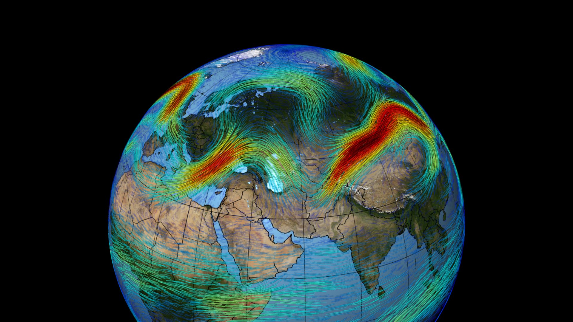
The Polar Jet Stream Over Asia, 2010
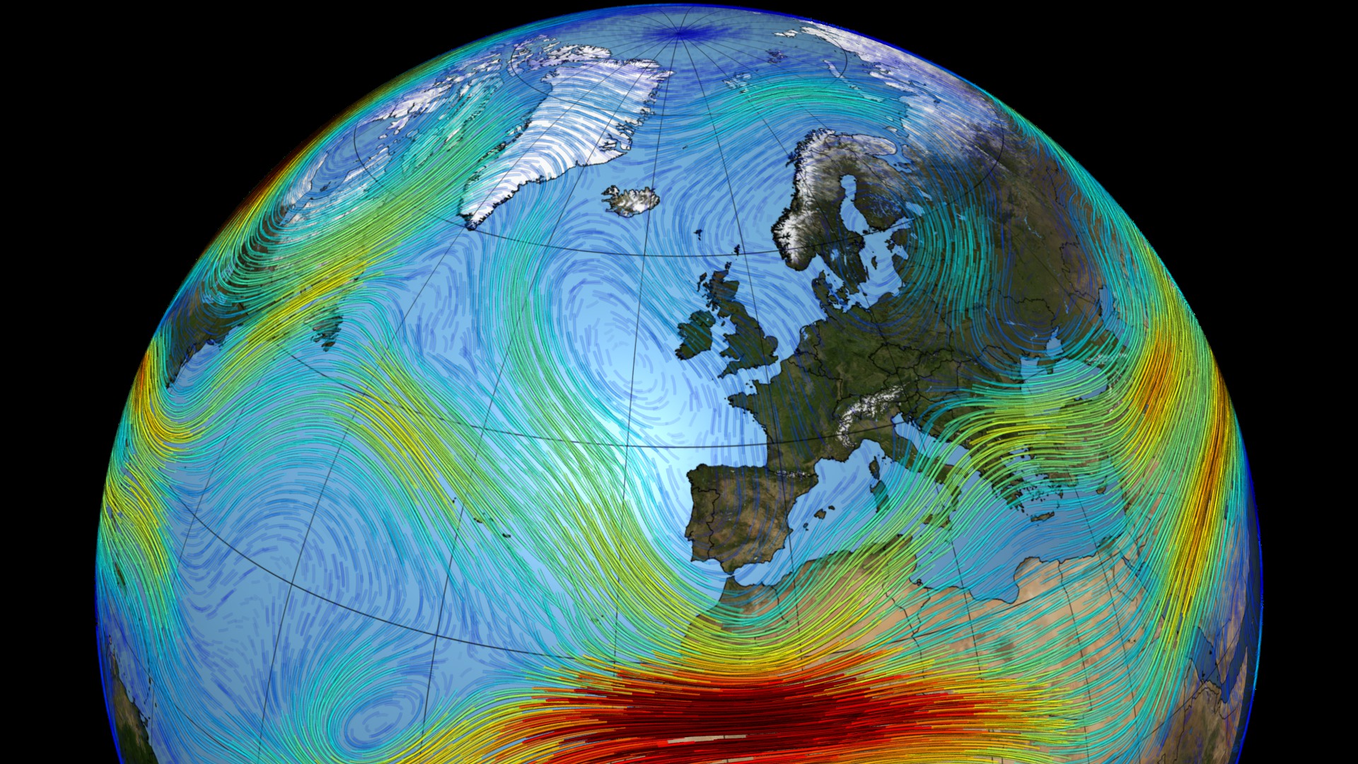
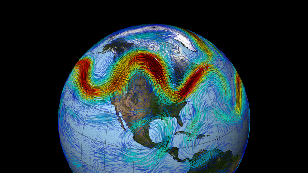
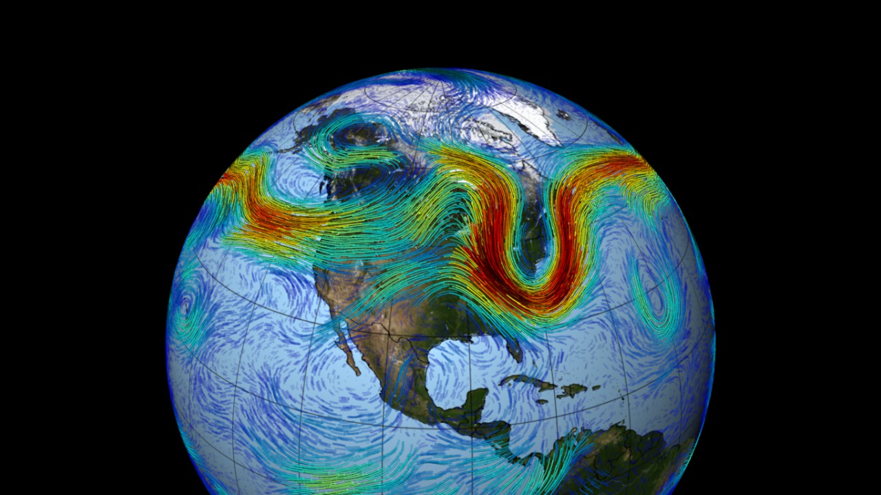
Meandering around the planet like a rollicking roller coaster in the sky, the Northern Hemisphere's polar jet stream is a fast-moving belt of westerly winds that traverses the lower layers of the atmosphere. The jet is created by the convergence of cold air masses descending from the Arctic and rising warm air from the tropics. Deep troughs and steep ridges emerge as the denser cold air sinks and deflects warm air regions north, giving the jet stream its wavy appearance. This pattern propagates across the mid-latitudes of North America, Europe and Asia, as pockets of cold air sporadically creep down from the Arctic—creating contrasting waves and flows that accelerate eastward due to Earth's rotation.
This visualization was adapted from The Polar Jet Stream (#3864) by special request, using weather and climate observations from NASA's MERRA data model from 2010 for the period of the floods in Russia and the droughts in Pakistan.
Jet stream over Asia, 2010
Credits
Please give credit for this item to:
NASA/Goddard Space Flight Center Scientific Visualization Studio
-
Animators
- Trent L. Schindler (USRA)
- Greg Shirah (NASA/GSFC)
- Horace Mitchell (NASA/GSFC)
Release date
This page was originally published on Tuesday, February 25, 2014.
This page was last updated on Wednesday, May 3, 2023 at 1:51 PM EDT.
Missions
This visualization is related to the following missions:Datasets used in this visualization
-
Blue Marble Land Cover [Terra and Aqua: MODIS]
ID: 510Credit: The Blue Marble data is courtesy of Reto Stockli (NASA/GSFC).
See all pages that use this dataset -
MERRA
ID: 684
Note: While we identify the data sets used in these visualizations, we do not store any further details, nor the data sets themselves on our site.
Related
- ID: 11906
- ID: 4171
 Visualization
 - ID: 11471
 Produced Video
 - ID: 10902
 Produced Video
 - ID: 3864
 Visualization