Magellan: Venus False-Color Terrain
This animation is a brief tour of the global terrain of the planet Venus as revealed by radar onboard the Magellan spacecraft. The height of the terrain is color-coded, with blues and greens representing low altitudes and reds representing high altitudes. Highlighted are two large "continents," or highlands, Aphrodite Terra and Ishtar Terra; the Maxwell Montes mountain range; and Maat Mons, a large, currently dormant volcano.
Magellan arrived at Venus in August of 1990 and spent four years there collecting data. The elevation map used here was created with data collected during the first mapping cycle. Many of the coverage gaps, represented here by black pixels, were filled in during later mapping cycles.
An animation highlighting major features of the surface of Venus.
This video is also available on our YouTube channel.

Elevation key. Elevations are offsets from a global radius of 6051 km.

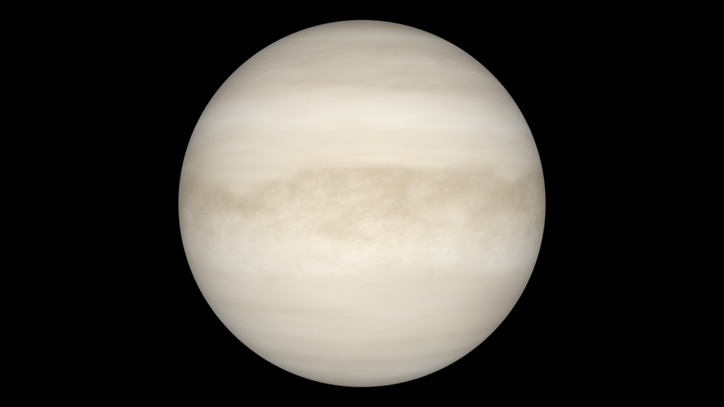
The atmosphere of Venus completely obscures the surface.
Simulation of a natural color surface. The true surface color of Venus has not been mapped. Color variations in this view are based on a global radar map of surface slope, which tends to highlight rougher terrain. Relatively flat plains, some covered by old lava floods, are darker in this view.
Aphrodite Terra is the largest highland on Venus.
Ishtar Terra is the second-largest highland on Venus. It includes the Maxwell Montes mountains, the highest on the planet.
Beta Regio is a large volcanic rise. It was among the first surface features detected by Earth-based radar.
Maat Mons is the tallest volcano on Venus. Evidence from Magellan indicates it may have been active in relatively recent times.
Diana Chasma, bottom center in this image, is part of a network of chasmata (large surface cracks) that extend a third of the way around Venus from Aphrodite Terra to Maat Mons.
Credits
Please give credit for this item to:
NASA/Goddard Space Flight Center Scientific Visualization Studio.
The clouds are an altered version of an image by David Seal, courtesy NASA/JPL-Caltech.
-
Animator
- Ernie Wright (UMBC)
-
Producer
- Andrew Freeberg (NASA/GSFC)
-
Scientist
- James Garvin (NASA/GSFC)
Missions
This page is related to the following missions:Datasets used
-
GTDR (Global Topography) [Magellan: Radar]
ID: 682 -
GSDR (Global Slope) [Magellan: Radar]
ID: 683
Note: While we identify the data sets used on this page, we do not store any further details, nor the data sets themselves on our site.
Related
- ID: 10904
 Produced Video
Release date
This page was originally published on Thursday, June 17, 2010.
This page was last updated on Wednesday, May 3, 2023 at 1:54 PM EDT.