A Tour of NASA’s 2024 Total Solar Eclipse Map
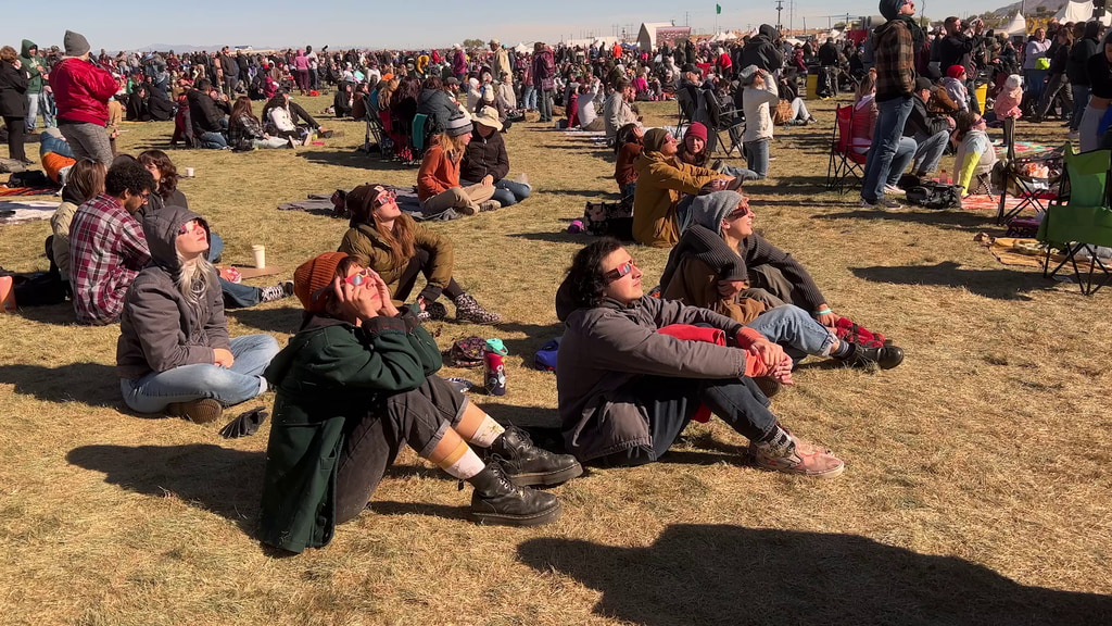
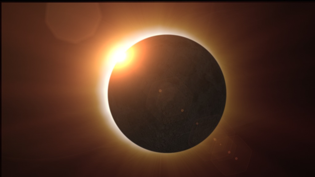
On April 8, 2024, a total solar eclipse will cross North America, passing over Mexico, the United States, and Canada. A total solar eclipse happens when the Moon passes between the Sun and Earth, completely blocking the face of the Sun. The sky will darken as if it were dawn or dusk, and those standing in the path of totality may see the Sun’s outermost atmosphere (the corona) if weather permits.
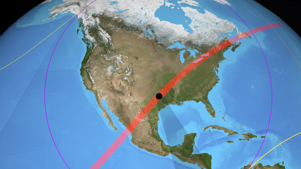
A map developed using data from a variety of NASA sources shows the total eclipse path as a dark band. Outside this path, purple lines indicate how much of the Sun will become covered by the Moon during the partial eclipse.
This video shows different areas of the map, explaining these and other features that describe what observers across the country can expect to see during the total eclipse. Explore and download the eclipse map here.
Map Credit: Michala Garrison and the Scientific Visualization Studio (SVS), in collaboration with the NASA Heliophysics Activation Team (NASA HEAT), part of NASA’s Science Activation portfolio; eclipse calculations by Ernie Wright, NASA Goddard Space Flight Center
Music Credit: “Cascades” by Air Jared [ASCAP], Sebastian Barnaby Robertson [BMI] via Universal Production Music
Watch this video on the NASA Goddard YouTube channel.
Spanish Version
Map Credit: Michala Garrison and the Scientific Visualization Studio (SVS), in collaboration with the NASA Heliophysics Activation Team (NASA HEAT), part of NASA’s Science Activation portfolio; eclipse calculations by Ernie Wright, NASA Goddard Space Flight Center
Music Credit: “Cascades” by Air Jared [ASCAP], Sebastian Barnaby Robertson [BMI] via Universal Production Music
For More Information
Credits
Please give credit for this item to:
NASA's Goddard Space Flight Center
-
Producer
- Beth Anthony (KBR Wyle Services, LLC)
-
Writer
- Vanessa Thomas (KBR Wyle Services, LLC)
-
Visualizers
-
Ernie Wright
(USRA)

- Michala Garrison (SSAI)
-
Ernie Wright
(USRA)
Related
- ID: 14540
![Watch this video on the NASA Video YouTube channel.Complete transcript available.Music credit: "Towards the Future" by Evan William Conway [ASCAP] from Universal Production Music](/vis/a010000/a014500/a014540/Thumbnail01.jpg) Produced Video
Produced Video - ID: 5186
 Visualization
 - ID: 14453
 B-Roll
 - ID: 14447
 Produced Video
 - ID: 14395
![Watch this video on the NASA Goddard YouTube channel.Complete transcript available.Music credit: “Easy Breezy” by James Alexander John Welland [PRS] and Thomas Trueman [PRS] from Universal Production Music.](/vis/a010000/a014300/a014395/14395_AreYourEclipseGlassesSafe_Thumbnail.jpg) Produced Video
Produced Video - ID: 14391
![Watch this video on the NASA Goddard YouTube channel.Except during the brief phase of totality during a total solar eclipse, you should never look directly at the Sun without proper eye protection specially designed for solar viewing. Do not use standard binoculars or telescopes to watch a solar eclipse without safe solar filters attached to the front of the device. Regular sunglasses are NOT safe for attempting to look directly at the Sun.Music Credit: “Happy Strut” by Dan Phillipson [PRS] via Universal Production MusicAdditional Graphics: Vecteezy.com, Motionarray.comComplete transcript available.](/vis/a010000/a014300/a014391/14391_Thumbnail.jpg) Produced Video
Produced Video - ID: 5093
 Visualization
 - ID: 20233
 Animation
Sources
- ID: 5123
 Visualization
Release date
This page was originally published on Friday, December 8, 2023.
This page was last updated on Tuesday, March 12, 2024 at 3:20 PM EDT.