Keeping Track of Food Production From Space
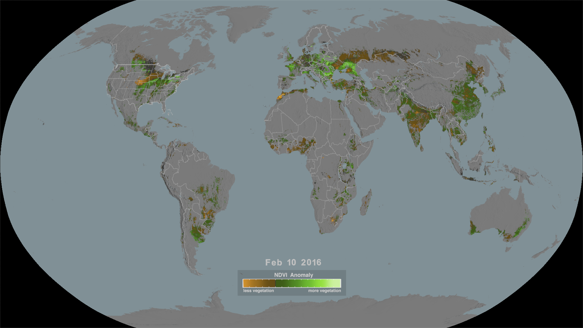
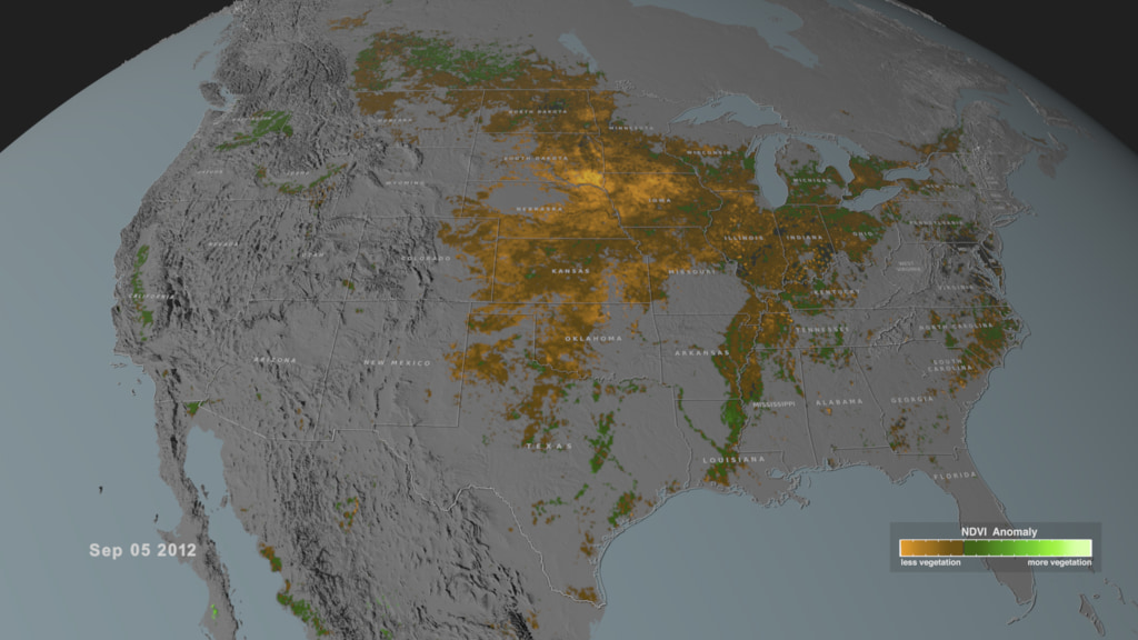
While USDA has monitored crops around the world for almost a century, the discovery that satellites can “see” greening of vegetation has revolutionized agricultural monitoring for food security. The development of the GLAM system in the 1980s, a collaboration with USDA and the International Production Assessment Division, has helped governments to assess whether or not there will be enough basic food crops to feed their populations, as well as provide international food aid organizations with a tool to predict where food shortages might occur.
Credits
Please give credit for this item to:
NASA's Goddard Space Flight Center
-
Producer
- LK Ward (KBR Wyle Services, LLC)
-
Scientist
- Inbal Becker Reshef (University of Maryland)
-
Writer
-
Visualizers
-
Cindy Starr
(Global Science and Technology, Inc.)

-
Greg Shirah
(NASA/GSFC)
-
Cindy Starr
(Global Science and Technology, Inc.)
-
Technical support
- Aaron E. Lepsch (ADNET Systems, Inc.)
Series
This page can be found in the following series:Sources
- ID: 4915
- ID: 4916
- ID: 13417
![The U.S. Department of Agriculture tracks how many acres and the annual yield for every crop produced. One method used to estimate crop acreage and yield is remote-sensing data from the NASA-USGS Landsat satellite program. The program started in 1997,with North Dakota, and by 2008 covered the entire lower 48 states and the District of Columbia. Music: "Downloading Landscapes" by Andrew Michael Britton [PRS] and David Stephen Goldsmith [PRS]. Published by Atmosphere Music Ltd [PRS].Complete transcript available.Watch this video on the NASA Goddard YouTube channel.](/vis/a010000/a013400/a013417/13417_Landsat_Croplands_print.jpg) Produced Video
Produced Video
Release date
This page was originally published on Monday, July 26, 2021.
This page was last updated on Wednesday, May 3, 2023 at 1:44 PM EDT.