ICESat-2 Beam Pairs
Side view of the beam pairs.
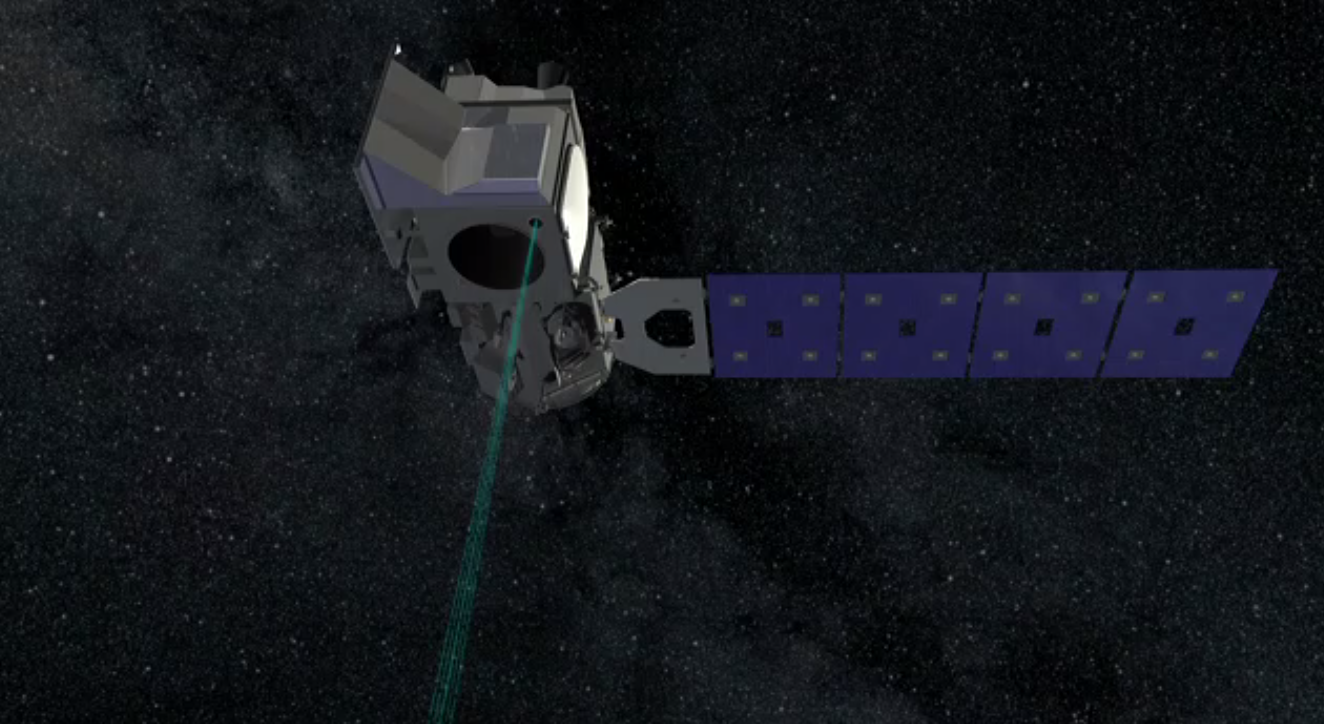
The ATLAS lidar on ICESat-2 uses 6 laser beams to measure the earth’s elevation and elevation change. By arranging the beams in three pairs of two, scientists can also determine the slope between the two beams, a key component of determining elevation change along the Reference Ground Track. Each time ATLAS collects data along a particular track, onboard software aims the laser beams so that the Reference Ground Track is always between the two beams, as shown in the animation. This allows scientists to combine the elevation and slope information from two different passes to determine elevation change along the Reference Ground Track.
Top-down view of the beam pairs.
Credits
Please give credit for this item to:
NASA's Goddard Space Flight Center
-
Producer
- Ryan Fitzgibbons (USRA)
-
Animator
- Chris Meaney (HTSI)
-
Scientists
- Thorsten Markus (NASA/GSFC)
- Thomas A. Neumann (NASA/GSFC)
Missions
This page is related to the following missions:Related
- ID: 13045
 Produced Video
 - ID: 12041
 Produced Video
Used as a Source In
- ID: 12977
 Produced Video
 - ID: 13062
 Produced Video
 - ID: 12768
 Produced Video
Release date
This page was originally published on Wednesday, February 3, 2016.
This page was last updated on Monday, January 6, 2025 at 1:29 AM EST.