Looking Down a Well: A Brief History of Geodesy
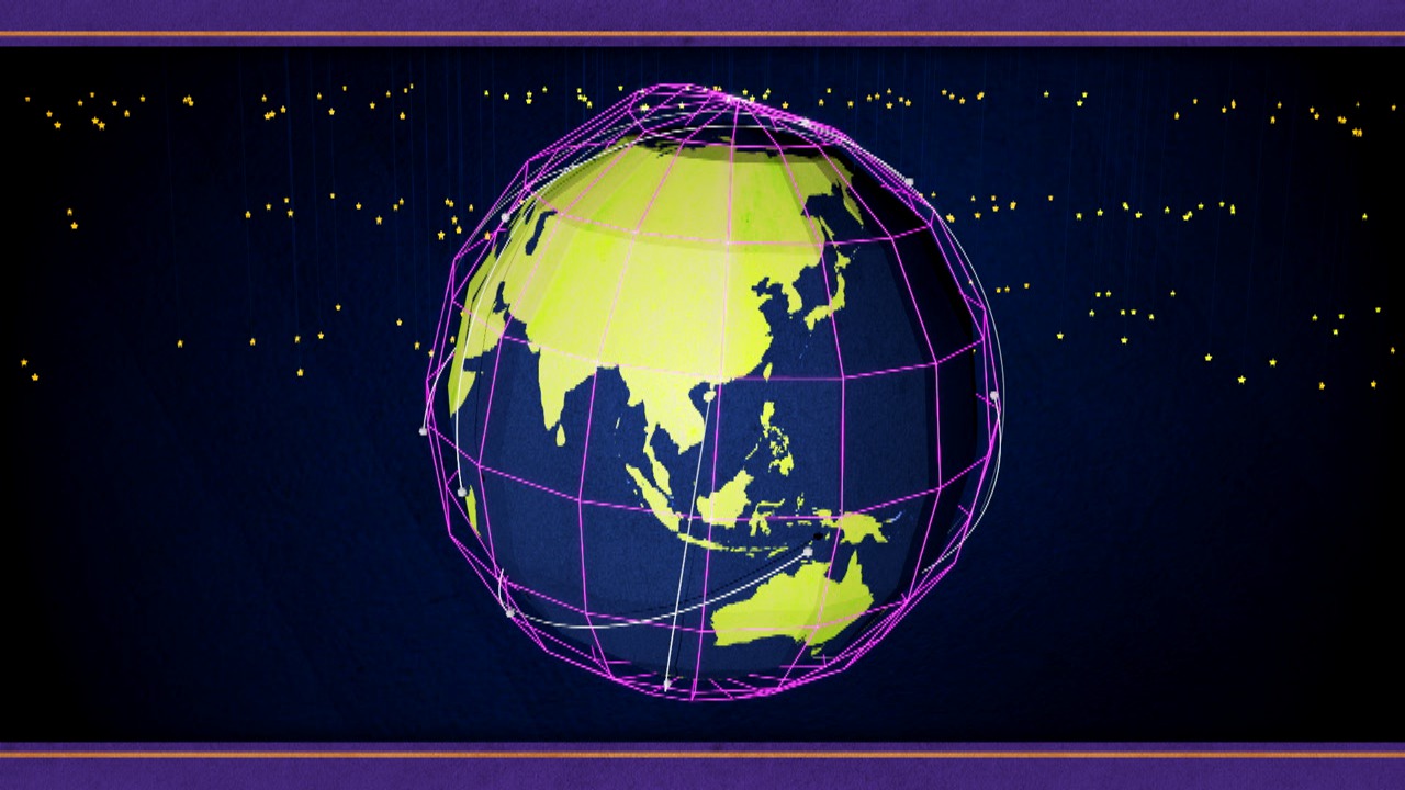
Geodesy is a field of study that deals with the measurement and representation of the Earth, and it all started when a clever human named Eratosthenes discovered that you could measure the circumference of the Earth by looking down a well. Over time, the field of geodesy has expanded and evolved dramatically, and NASA uses technology like radio telescopes, ground surveys, and satellites to contribute! Learn more about geodesy in this video!
Credits
Please give credit for this item to:
NASA/Goddard Space Flight Center
-
Animator
- Chris Smith (HTSI)
-
Video editor
- Chris Smith (HTSI)
-
Narrator
- Steven J. Wall (MUNIZ)
-
Producer
- Chris Smith (HTSI)
-
Scientists
- Herbert Frey (NASA/GSFC)
- Frank Lemoine (NASA/GSFC)
- Stephen Merkowitz (NASA/GSFC)
-
Writer
- Chris Smith (HTSI)
Series
This page can be found in the following series:Tapes
The media on this page originally appeared on the following tapes:-
Looking Down A Well: A Brief History of Geodesy
(ID: 2012003)
Thursday, March 1, 2012 at 5:00AM
Produced by - Brendan Antiochos (NASA)
Related
- ID: 11010
 Produced Video
Release date
This page was originally published on Thursday, February 23, 2012.
This page was last updated on Wednesday, May 3, 2023 at 1:53 PM EDT.