Bubbles In The Sky
Ever notice how in many parts of the world, puffy, cauliflower-shaped cumulus clouds are more common in the summer? There's a reason for this: thermal convection. In winter, the sun has less time to heat the surface and cause instability in the atmosphere. But during the summer, heat from the sun warms the land surfaces so much that pockets of hot air—scientists call them thermals—bubble upward much like steam in a pot of boiling water. As the hot air rises, the water vapor trapped within condenses into microscopic cloud droplets. If the air is humid enough, rapidly changing cumulus clouds puff up in the atmosphere, sometimes bulging to heights above 39,000 feet. Watch in the visualizations below—based on a climate model that simulated cloud formation during a Southern Hemisphere summer—how cumulus clouds pop up over the forests of Africa and South America.

See how rising warm air gives birth to stunning cumulus clouds.
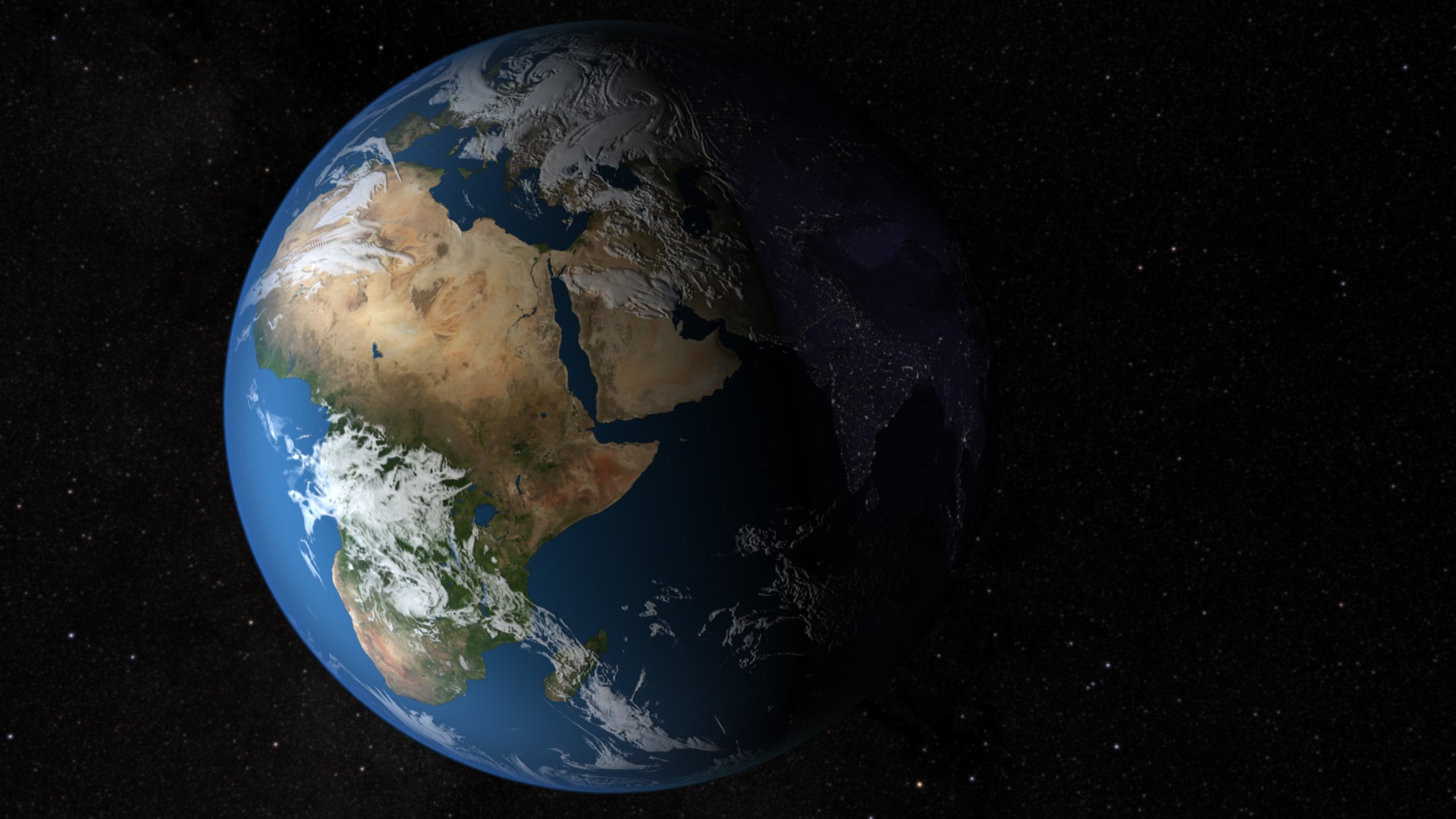
Cumulus clouds are common over the humid, forested parts of Africa, while such clouds are rare over the dry Sahara.
Vegetation in the Amazon rainforest releases moisture into the air creating prime conditions for cumulus clouds to form.
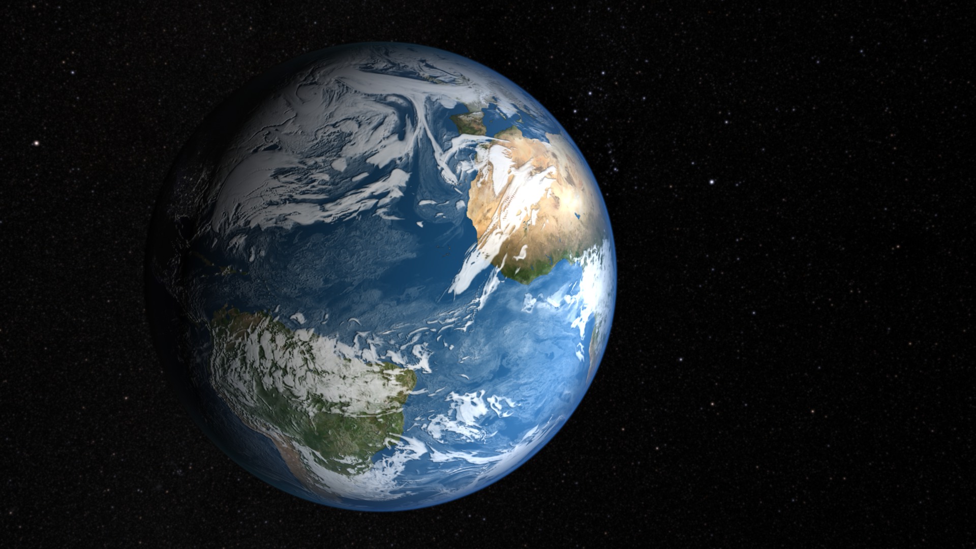
A NASA satellite observed a uniform layer of popcorn-like cumulus clouds over the Amazon rainforest.
An astronaut aboard Space Shuttle Challenger took this photo of thunderous cumulus clouds over southern Brazil.
This photograph, taken from the International Space Station, shows a massive cumulus cloud over western Africa.
Credits
Please give credit for this item to:
NASA's Goddard Space Flight Center
-
Animators
-
Alex Kekesi
(Global Science and Technology, Inc.)

-
Ernie Wright
(USRA)
-
Alex Kekesi
(Global Science and Technology, Inc.)
-
Producers
- Kayvon Sharghi (USRA)
- Ryan Fitzgibbons (USRA)
-
Scientist
- William Putman (NASA/GSFC)
-
Writer
- Adam P Voiland (Wyle Information Systems)
Related
- ID: 3855
 Visualization
 - ID: 3861
 Visualization
Release date
This page was originally published on Tuesday, January 24, 2012.
This page was last updated on Wednesday, May 3, 2023 at 1:53 PM EDT.