Previous Tape
Next Tape
Goddard TV Video Tape: G2008-047 -- Glory Resource Reel
Movie
Title
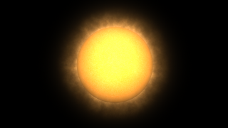
Solar Cycle (High Definition)
Interview Segments with Key Glory Personnel
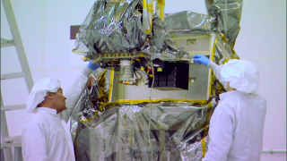
Glory Cleanroom B-roll, Orbital Sciences Corporation
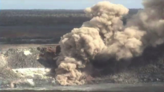
USGS Video of a Hawaiian Volcano
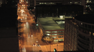
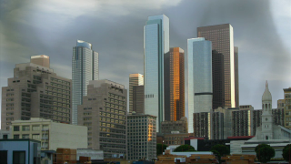
City and Traffic Timelapses
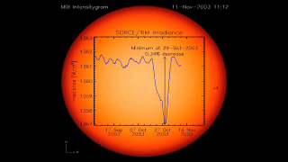
Solar Variability and Total Solar Irradiance (TSI)
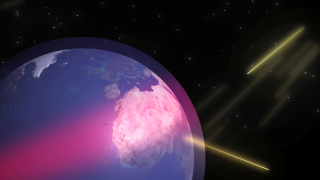
Earth's Energy Budget Animations: Global View and Budget Breakout
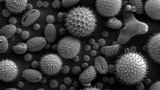
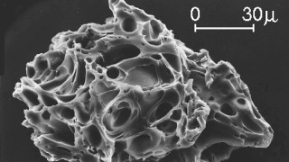
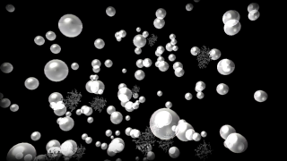
Scanning Electron Microscope Still Image of Pollen Particles
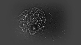
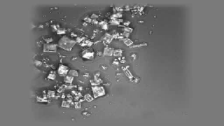
Soot and Sulfate Still Images and Video of Tractor Soot Particle
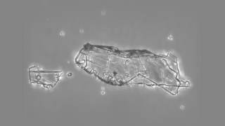
Volcanic Ash Still Image
Potassium Aerosols
Sea Salt Aerosols
Aerosols Absorb; Aerosols Reflect
Human Induced versus Naturally Occurring Aerosols
Aerosols Impact Cloud Formation
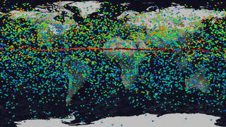
Sources of Aerosols
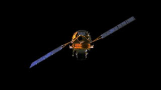
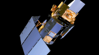
Glory's Total Irradiance Monitor (TIM)
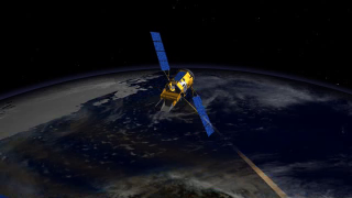
Glory Instrument Flyover
Glory Solar Array Deployment
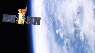
Two Glory Beauty Passes
Glory Launch Sequence
Glory Podcast Opener
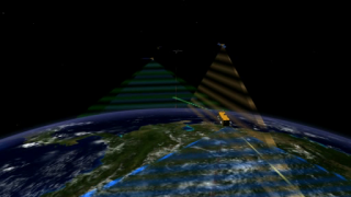
Cross Calibration of the Afternoon Constellation's Instruments
Glory's Aerosol Polarimetry Sensor Taking Polarimetric Measurements
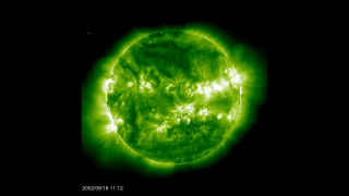
Comparison: Solar Maximum from SOHO/EIT
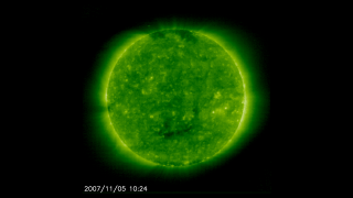
Comparison: Solar Minimum from SOHO/EIT
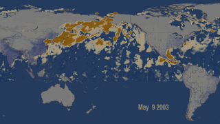
Pacific Anthropogenic Aerosol Optical Depth (AOD) in 2003
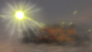
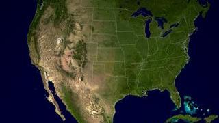
Southern California Fires, Oct 26, 2003 (Western View of Smoke)
Mount Pinatubo Particle Model
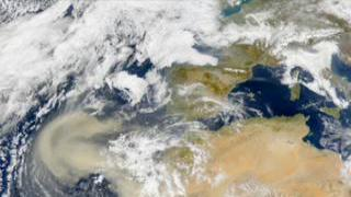
West Africa Dust Storms