Operation IceBridge - Deprecated
Overview
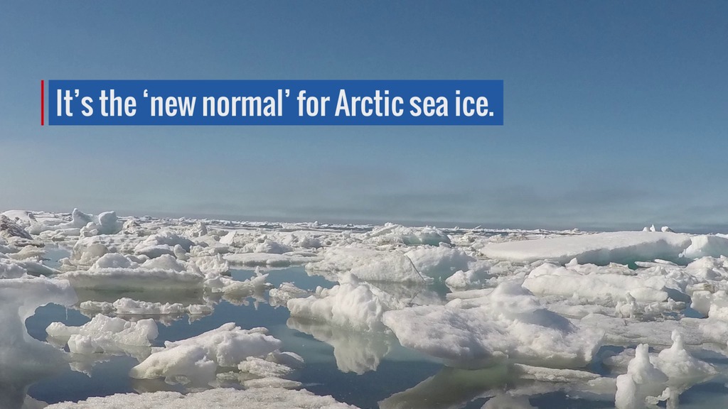
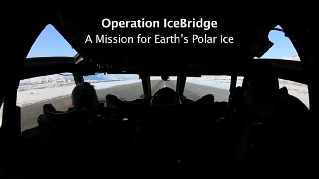
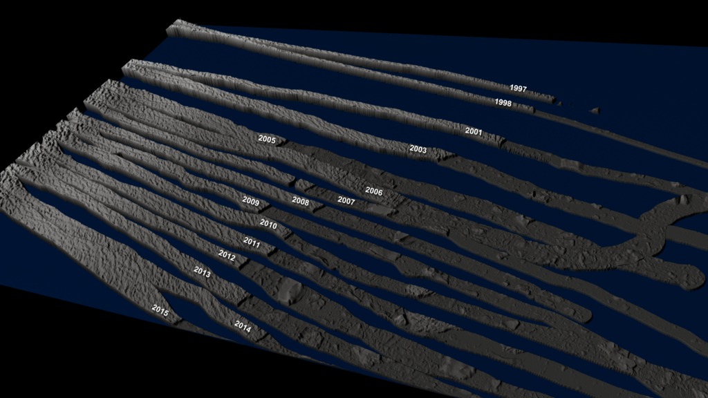
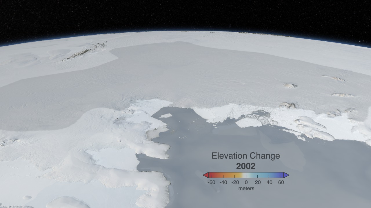
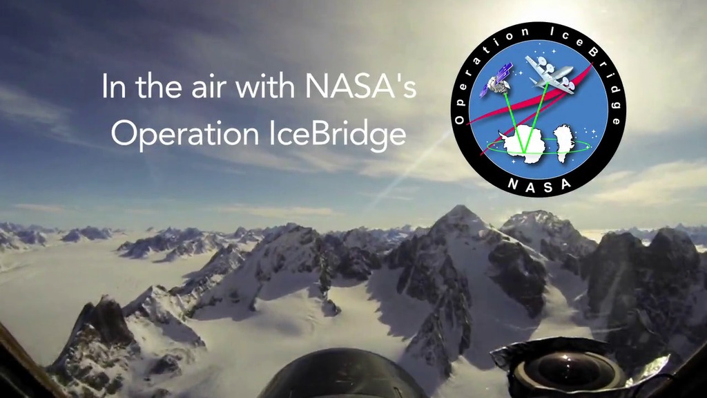
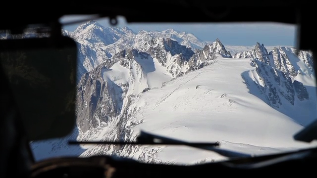
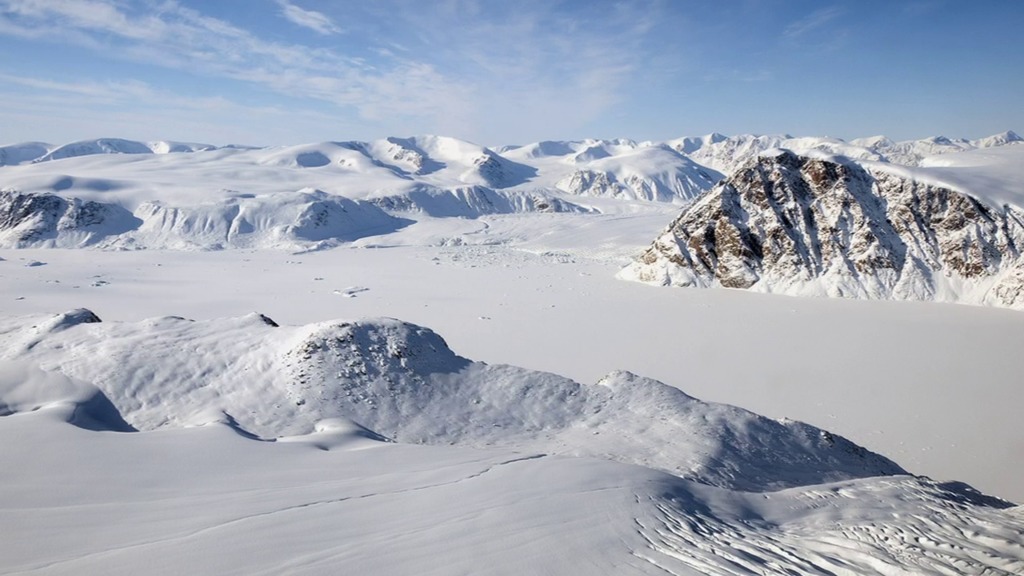
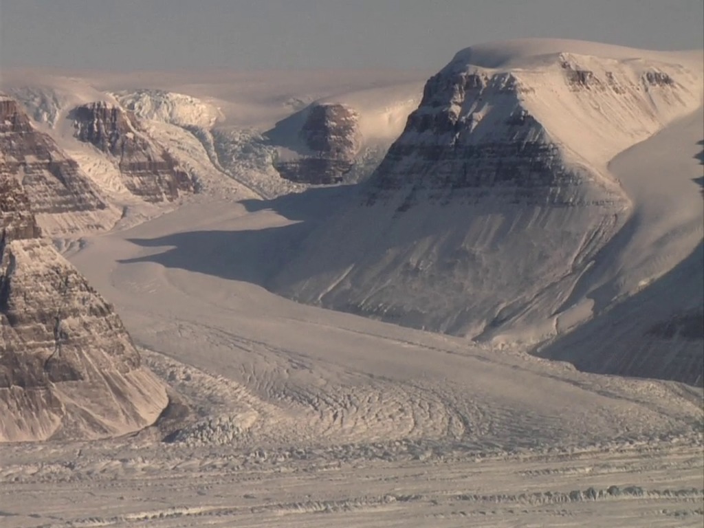
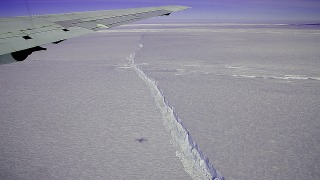
IceBridge, a NASA field campaign currently in its 11th year, is the largest airborne survey of Earth's polar ice ever flown. It will yield an unprecedented three-dimensional view of Arctic and Antarctic ice sheets, ice shelves, and sea ice. These flights provide a yearly, multi-instrument look at the behavior of the rapidly changing features of both Arctic and Antarctic ice.
Data collected during IceBridge will help scientists bridge the gap in polar observations between NASA's Ice, Cloud and Land Elevation Satellite (ICESat) -- launched in 2003 -- and ICESat-2, launched September 15, 2018. ICESat stopped collecting science data in 2009, making IceBridge critical for ensuring a continuous series of observations.
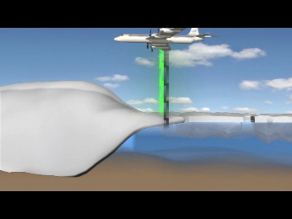
IceBridge uses airborne instruments to map Arctic and Antarctic areas once a year before the spring melt season takes hold. The first IceBridge flights were conducted in March/May 2009 over Greenland and in October/November 2009 over Antarctica. Other smaller airborne surveys around the world are also part of the IceBridge campaign.
Recent videos and greatest hits
- ID: 13146
 Produced Video
 - ID: 12860
 Produced Video
 - ID: 12608
- ID: 12449
 Produced Video
 - ID: 12353
 Produced Video
 - ID: 12830
 Produced Video
 - ID: 12015
 Produced Video
 - ID: 10028
 Produced Video
 - ID: 11707
 Produced Video
 - ID: 11341
 Produced Video
 - ID: 10860
 Produced Video
 - ID: 11006
 Produced Video
Data visualizations and conceptual animations
- ID: 12204
 Produced Video
 - ID: 4566
- ID: 4348
- ID: 4249
 Visualization
 - ID: 4022
 Visualization
 - ID: 11354
 Produced Video
 - ID: 4060
 Visualization
 - ID: 3825
- ID: 3875
 Visualization
 - ID: 10588
 Produced Video
 - ID: 3782
- ID: 10592
 Produced Video
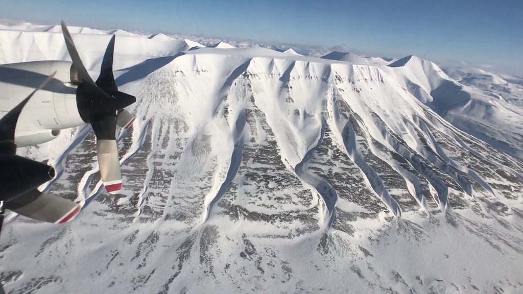
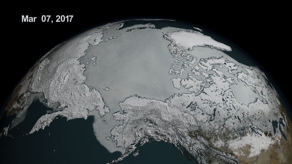
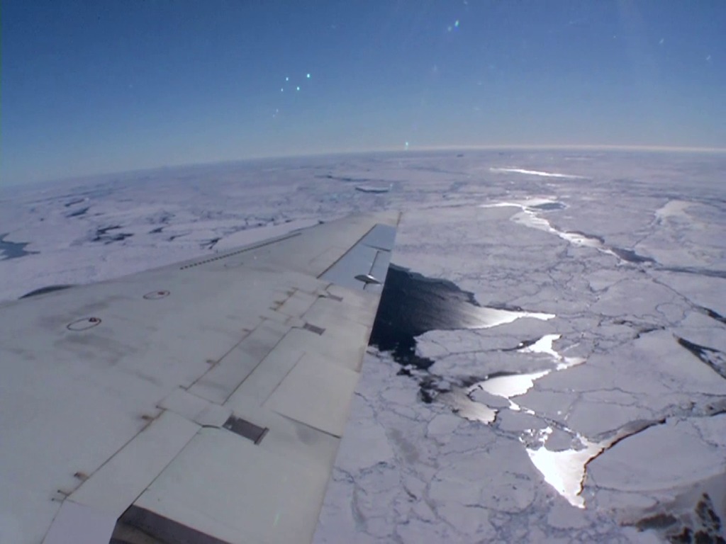
Arctic
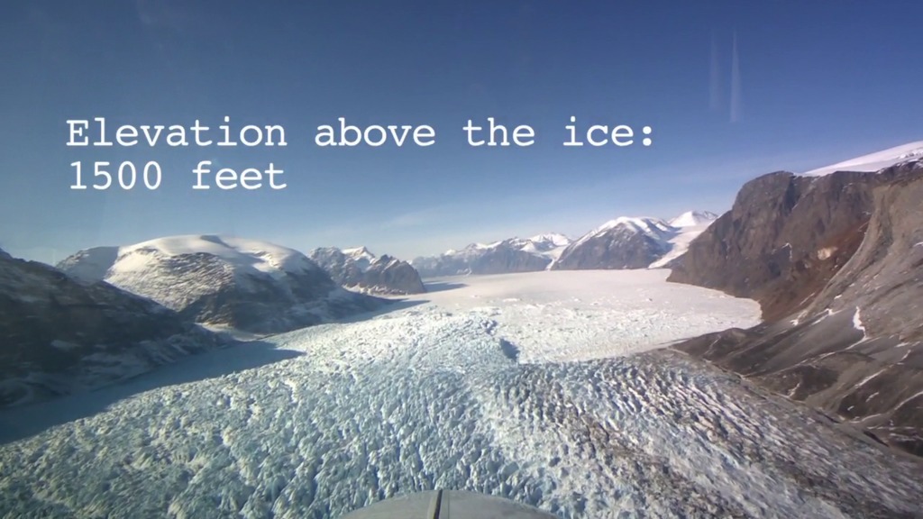
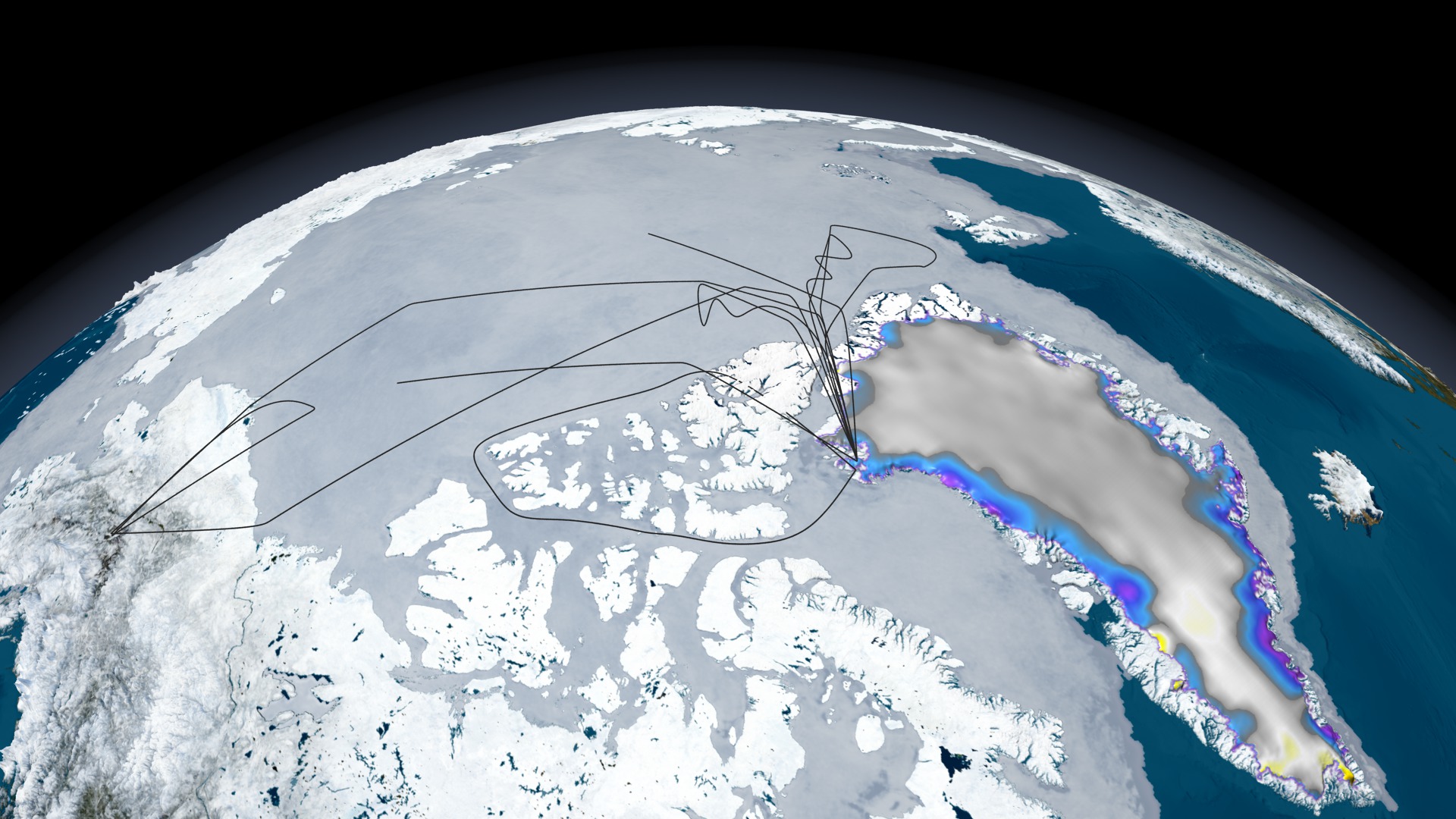
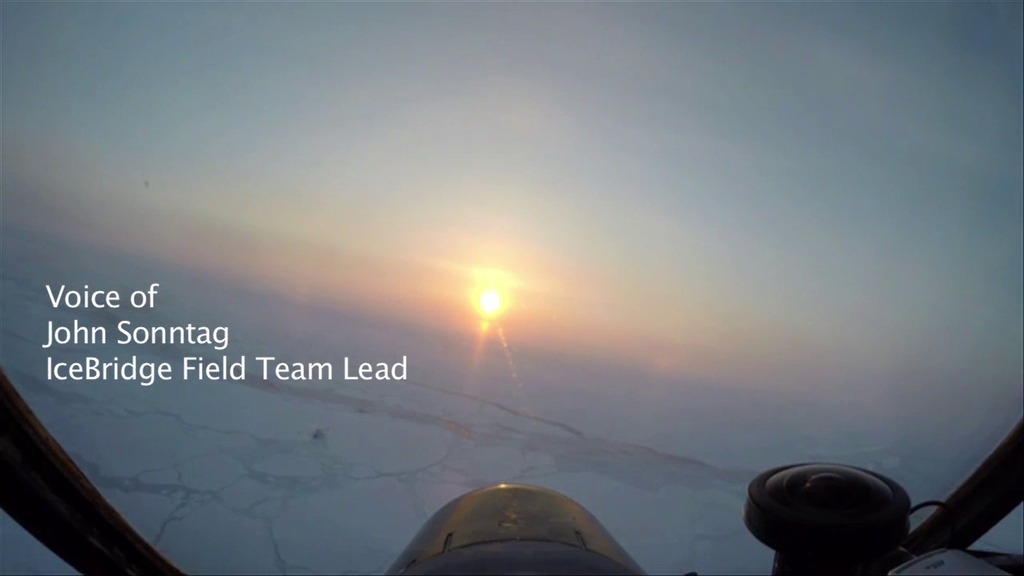
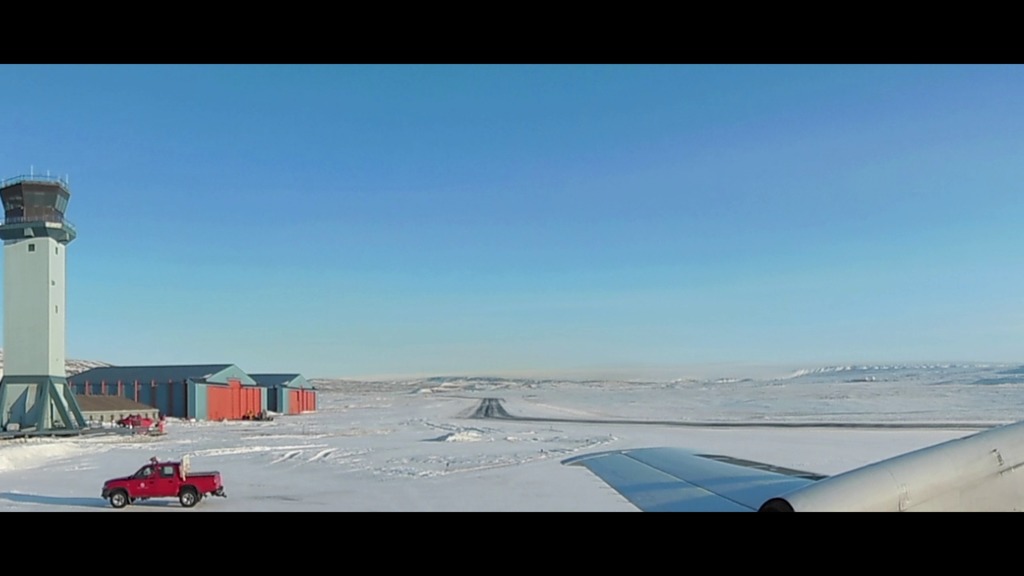
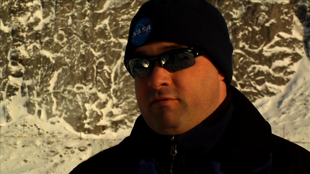
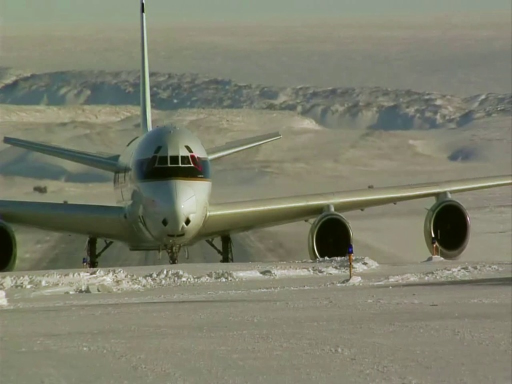
In March, Operation IceBridge flies out of Thule and Kangerlussuaq, Greenland, measuring the Greenland ice sheet and Arctic sea ice with its instruments aboard a P-3B aircraft from the Wallops Flight Facility. The LViS instrument fiels on a smaller aircraft which in 2012 was NASA Langley's HU-25C.
- ID: 12608
- ID: 12480
 Produced Video
 - ID: 12335
 Produced Video
 - ID: 12830Produced Video
- ID: 12178
 Produced Video
 - ID: 11820
 Produced Video
 - ID: 11827
 Produced Video
 - ID: 11862
 Produced Video
 - ID: 11527
 Produced Video
 - ID: 11354Produced Video
- ID: 11341Produced Video
- ID: 11245
 Produced Video
 - ID: 11247
 Produced Video
 - ID: 11227
 Produced Video
 - ID: 11001
 Produced Video
 - ID: 11055
 Produced Video
 - ID: 10969
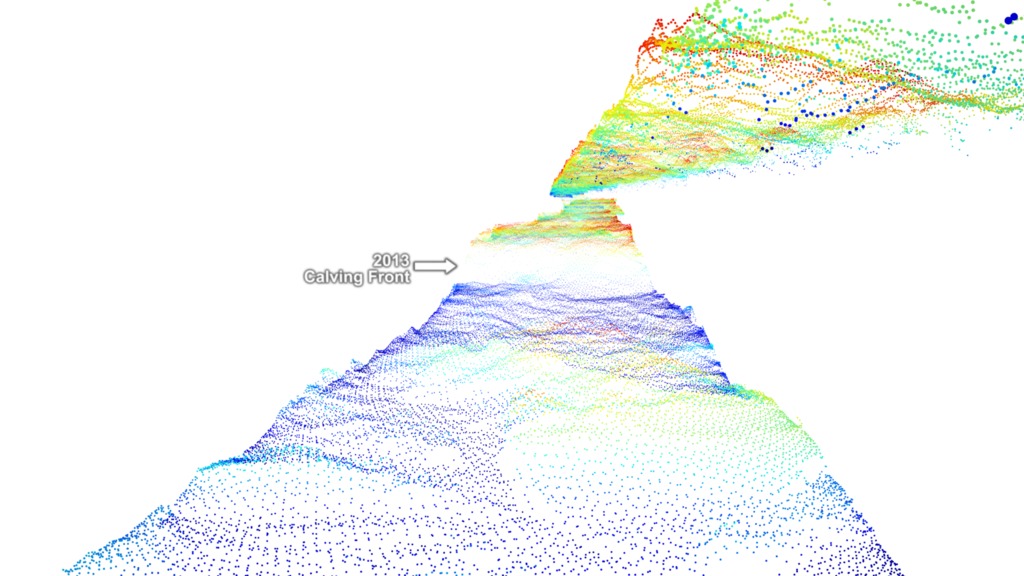
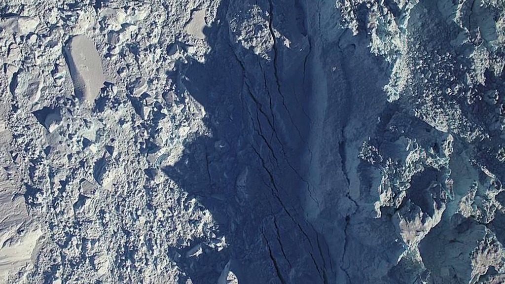
![Studinger: NASA's Operation IceBridge is a six-year campaign that monitors the sea ice and the land ice over the Arctic and the Antarctic.Over the past couple of weeks we have collected a tremendous data set over the sea ice in the Arctic Ocean that will allow us to calibrate the European Space Agency's Cryosat 2 satellitee. And we were able to do this because we were pooling resources between ESA's Cryovex campaign and NASA's Operation IceBridge. And this joint data set will allow us to build a joint time series of measurements in the Arctic Ocean This was the second year in a row that we have collected data on the ground in the air, and from satellite measurements at the same time, and this data set will help us greatly to understand the data and calibrate the data that are being collected by satellites from space. The data sets that we are collecting will also help develop better techniques for ICESat2 and together with all these satellite missions we hope to build a very long time series, beginning with ICESat one, covering over IceBridge, Cryosat 2, and leading up to ICESat 2 in the future. [wind sounds]](/vis/a010000/a010900/a010969/OIB_ESA_collaboration_compressed_lg.00077_print.jpg) Produced Video
Produced Video - ID: 10758
 Produced Video
 - ID: 10734
 Produced Video
 - ID: 10739
 Produced Video
 - ID: 10751

- ID: 10756
 Produced Video
 - ID: 10602
 Produced Video
 - ID: 10597
- ID: 10596
 Produced Video
 - ID: 10589
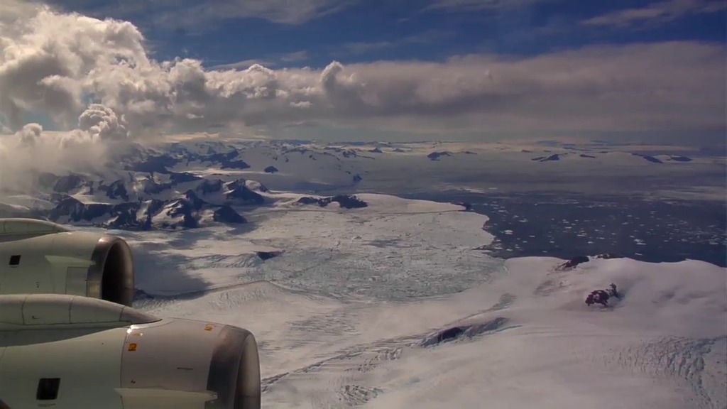
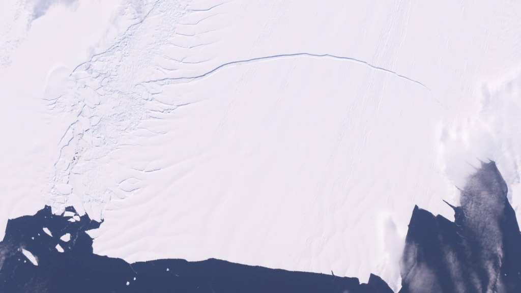
Antarctic
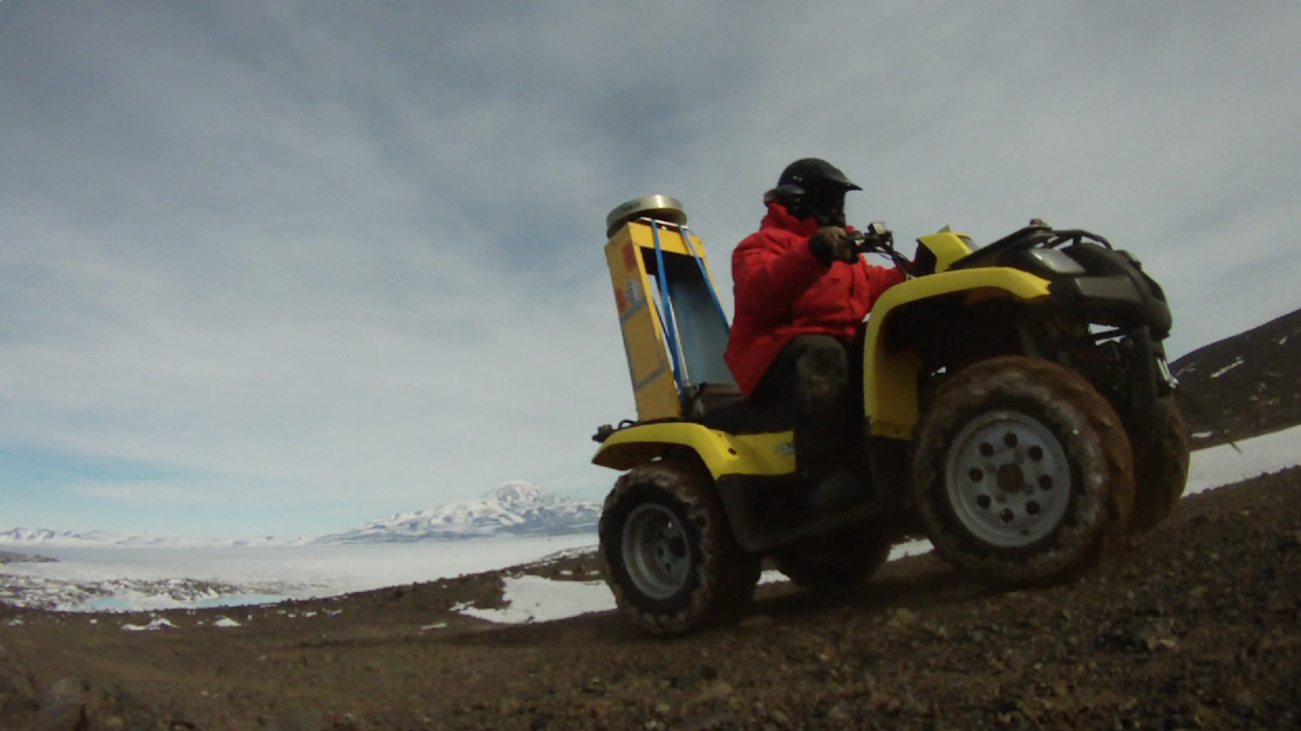
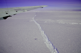
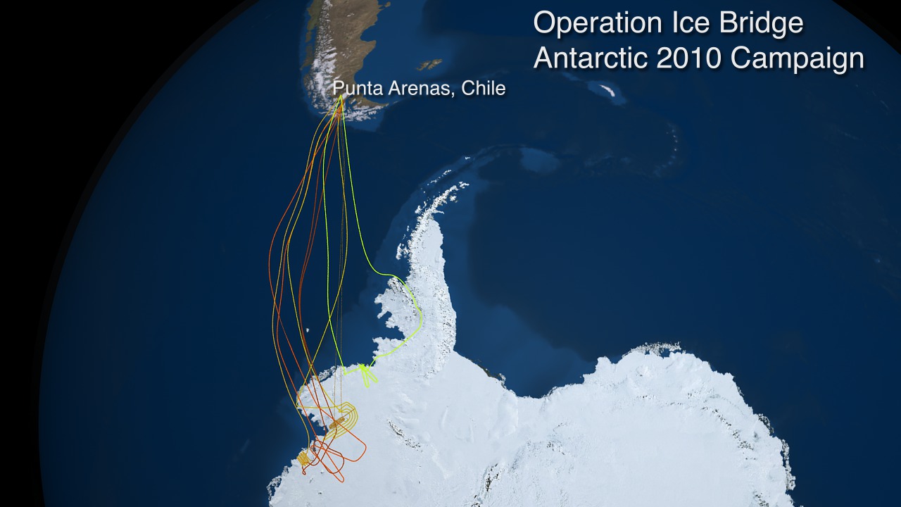
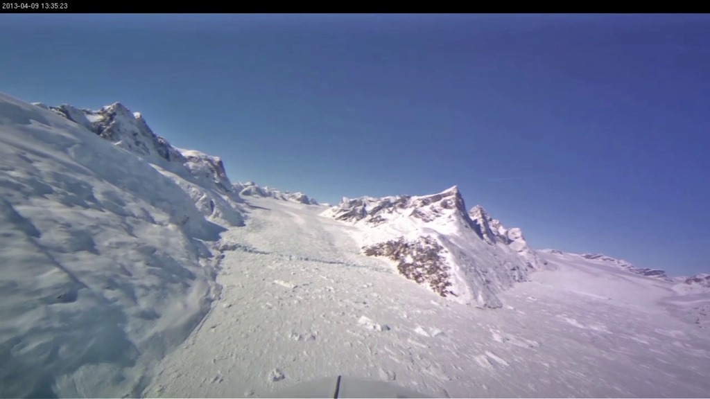
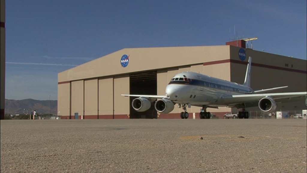
In October, Operation IceBridge flies over Antarctica from its base of operations in Punta Arenas, Chile, typically with the DC-8 aircraft supplied by NASA Dryden. A smaller aircraft carrying the LViS instrument also joins the campaign, which in 2011 was a Gulfstream V operated by the National Science Foundation and the National Center for Atmospheric Research.
- ID: 12484
 Produced Video
 - ID: 12449Produced Video
- ID: 10081
 Produced Video
 - ID: 10028Produced Video
- ID: 11707Produced Video
- ID: 11438
 Produced Video
 - ID: 11425
 Produced Video
 - ID: 11511

- ID: 11135
 Produced Video
 - ID: 10923
- ID: 10845
 Produced Video
 - ID: 10860Produced Video
- ID: 10692
 Produced Video
 - ID: 10693