March 10, 2003 - (date of web publication)
Saharan Dust Off West Africa
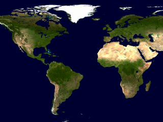
An intense African dust storm sent a massive dust plume westward over the Atlantic Ocean March 2, 2003. Dust storms and the rising warm air can lift dust 10,000 feet or more above the African deserts and then out across the Atlantic, reaching as far west as the Caribbean, South America, or even Florida. Scientists have linked illnesses, harmful algal blooms in the Gulf of Mexico, and the decline of the coral reefs in the Caribbean to the increasing frequency and intensity of Saharan dust events.
These March 2 and 4 true-color images, acquired by the Moderate Resolution Imaging Spectroradiometer (MODIS) aboard NASA's Terra and Aqua satellites, show thick dust plumes (light brown) blowing westward over a span of days during the first week in March 2003.

|

|

|
|
Click on pic to enlarge |
Click on pic to enlarge |
March 04, 2003
|

|

|
|
|
Click on pic to enlarge |
Click on pic to enlarge |
|
Click here or on pic for animation closing in on the dust storm activity.
Click here for more information on this visualization.
Images courtesy Jeffrey Schmaltz and Jacques Descloitres, MODIS Rapid Response Team, NASA GSFC
Animation credit: NASA Goddard Space Flight Center, Scientific Visualization Studio
More Information
NASA Earth Observatory
For more information and images on Saharan dust click here
High Resolution Images
Click here for a High Resolution version of the March 02, 2003 Image
Click here for a High Resolution version of the March 03, 2003 Image
Click here for a High Resolution version of the March 04, 2003 Image
Click here for a High Resolution version of the March 05, 2003 Image
Click here for a High Resolution version of the March 06, 2003 Image
