Mt. St. Helens
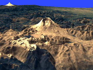
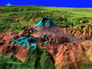
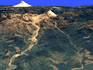
These scenes from Mt. St. Helens show the mountain in May of 1992 as seen by the Landsat 5 satellite's Thematic Mapper instrument. Two different colour combinations have been used to create these images. The "Natural Colour" images use the red, green, and blue channels (TM bands 3, 2, and 1 respectively), the other set uses a combination that spans the widest range of spectral data, with shortwave infrared (TM band 5), infrared (TM band 4), and visible green (TM band 2) channels mapped to red, green, and blue respectively. All images are draped over digital elevation model (DEM) data with a x 2 vertical exaggeration. Images:
Technical notes: |
||||||||||||||||||||||||


