Earth
ID: 30010
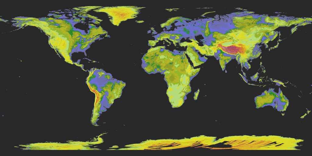
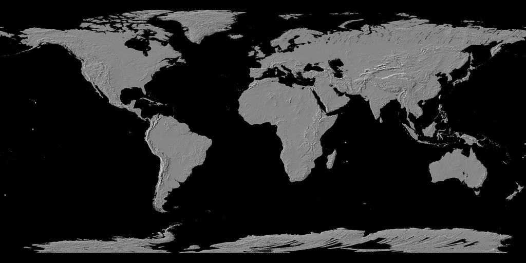
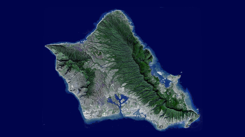
This flyover of the Hawaiian island of Oahu was made by draping January 13, 2010 image data from the Advanced Spaceborne Thermal Emission Radiometer (ASTER) instrument on NASA's Terra spacecraft over new ASTER Version 2 digital elevation data.
ASTER Oahu Flythrough
The visualization begins over Honolulu, then moves northwest over Ohau's central valley, looking towards the northeast and the Ko'olau mountains. Reaching the north shore, it turns to the southeast and views the windward and east sides of Oahu, home to Kane'ohe and Kailua Bays and numerous small offshore islands.
Reaching the southeast top of Oahu, we fly over Hanauma Bay and continue past Diamond Head crater, Waikiki Beach and Honolulu. The video ends with a flyover of Pearl Harbor.
For More Information
Credits
Leann Johnson (Global Science and Technology, Inc.): Project Support
Eric Sokolowsky (GST): Project Support
Eric Sokolowsky (GST): Project Support
Please give credit for this item to:
NASA/GSFC/METI/ERSDAC/JAROS, and U.S./Japan ASTER Science Team ASTER GDEM is a product of METI and NASA.
NASA/GSFC/METI/ERSDAC/JAROS, and U.S./Japan ASTER Science Team ASTER GDEM is a product of METI and NASA.
Short URL to share this page:
https://svs.gsfc.nasa.gov/30010
Mission:
Terra
Data Used:
Note: While we identify the data sets used in these visualizations, we do not store any further details nor the data sets themselves on our site.
Keywords:
SVS >> Elevation data
SVS >> HDTV
GCMD >> Earth Science >> Land Surface >> Topography
GCMD >> Location >> Hawaiian Islands
SVS >> Hyperwall
NASA Science >> Earth
GCMD keywords can be found on the Internet with the following citation: Olsen, L.M., G. Major, K. Shein, J. Scialdone, S. Ritz, T. Stevens, M. Morahan, A. Aleman, R. Vogel, S. Leicester, H. Weir, M. Meaux, S. Grebas, C.Solomon, M. Holland, T. Northcutt, R. A. Restrepo, R. Bilodeau, 2013. NASA/Global Change Master Directory (GCMD) Earth Science Keywords. Version 8.0.0.0.0
https://svs.gsfc.nasa.gov/30010
Mission:
Terra
Data Used:
Terra/ASTER/Global Digital Elevation Model also referred to as: GDEM
Developed jointly by the Ministry of Economy, Trade, and Industry (METI) of Japan and the United States National Aeronautics and Space Administration (NASA).
Credit:
ASTER GDEM is a product of METI and NASA.
ASTER GDEM is a product of METI and NASA.
Keywords:
SVS >> Elevation data
SVS >> HDTV
GCMD >> Earth Science >> Land Surface >> Topography
GCMD >> Location >> Hawaiian Islands
SVS >> Hyperwall
NASA Science >> Earth
GCMD keywords can be found on the Internet with the following citation: Olsen, L.M., G. Major, K. Shein, J. Scialdone, S. Ritz, T. Stevens, M. Morahan, A. Aleman, R. Vogel, S. Leicester, H. Weir, M. Meaux, S. Grebas, C.Solomon, M. Holland, T. Northcutt, R. A. Restrepo, R. Bilodeau, 2013. NASA/Global Change Master Directory (GCMD) Earth Science Keywords. Version 8.0.0.0.0


