Planets and Moons
ID: 2479
The MODIS instrument, flying aboard NASA's Terra and Aqua satellites, measures how much solar radiation is reflected by the Earth's surface almost every day over the entire planet. Zooming in on Africa's Sahara Desert and the Arabian Peninsula, MODIS observed considerable variability in reflectance across the region-from the darkest volcanic terrains to the brightest sand. This matches specific soil groups and rock types to MODIS-derived albedo measurements. This correlation is important because most current weather forecast models treat this region as if the surface is uniform and therefore reflects the same amount of light all across its wide expanse. However, the terrain across the Sahara Desert and Arabian Peninsula is actually quite varied. Darker surface features (like rocks and plant canopies) absorb more light than lighter surfaces (like sand) and therefore get hotter in the afternoon. Over the course of a day, these heating differences can set up atmospheric motions that influence global clouds and rain.
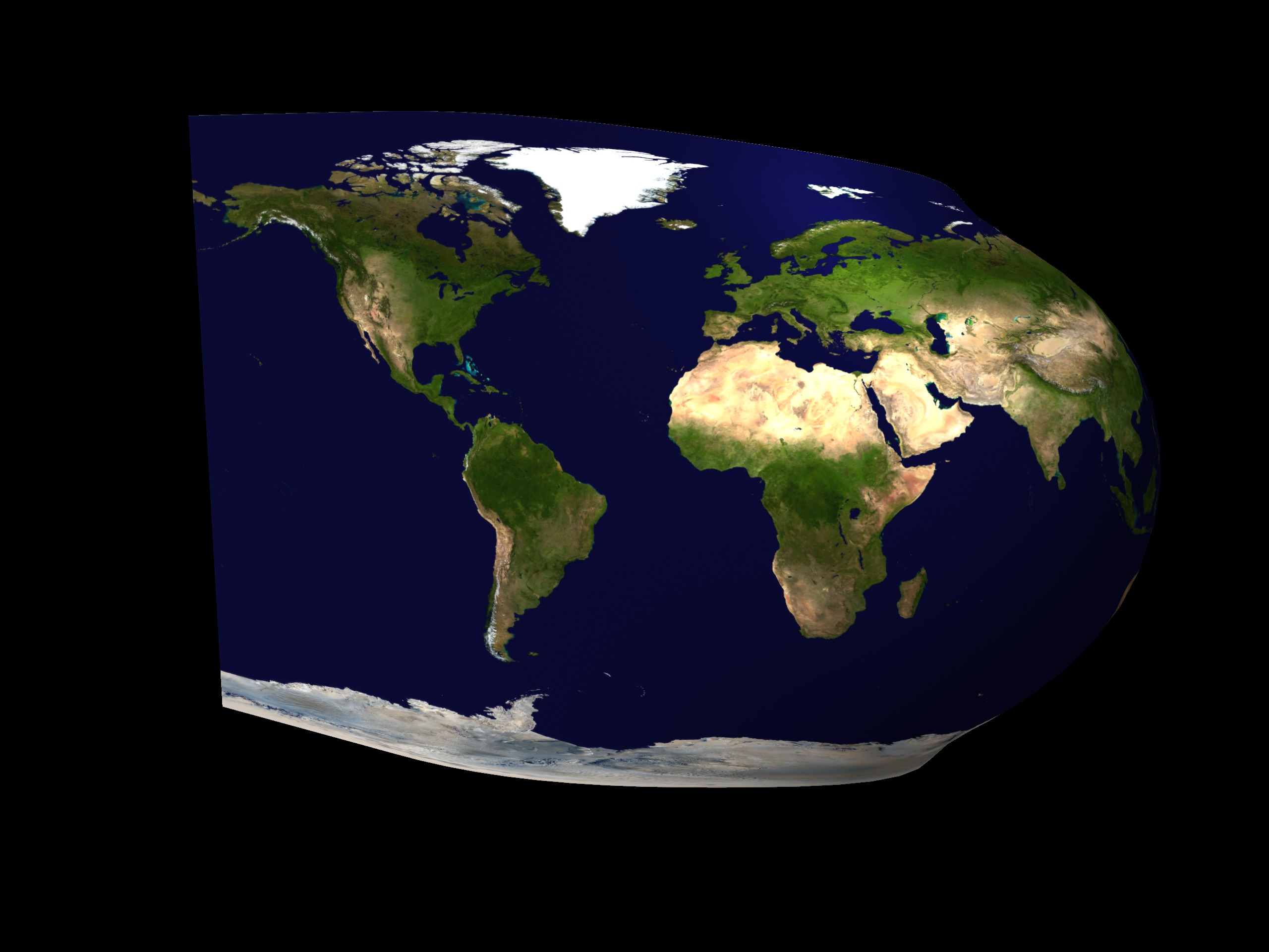
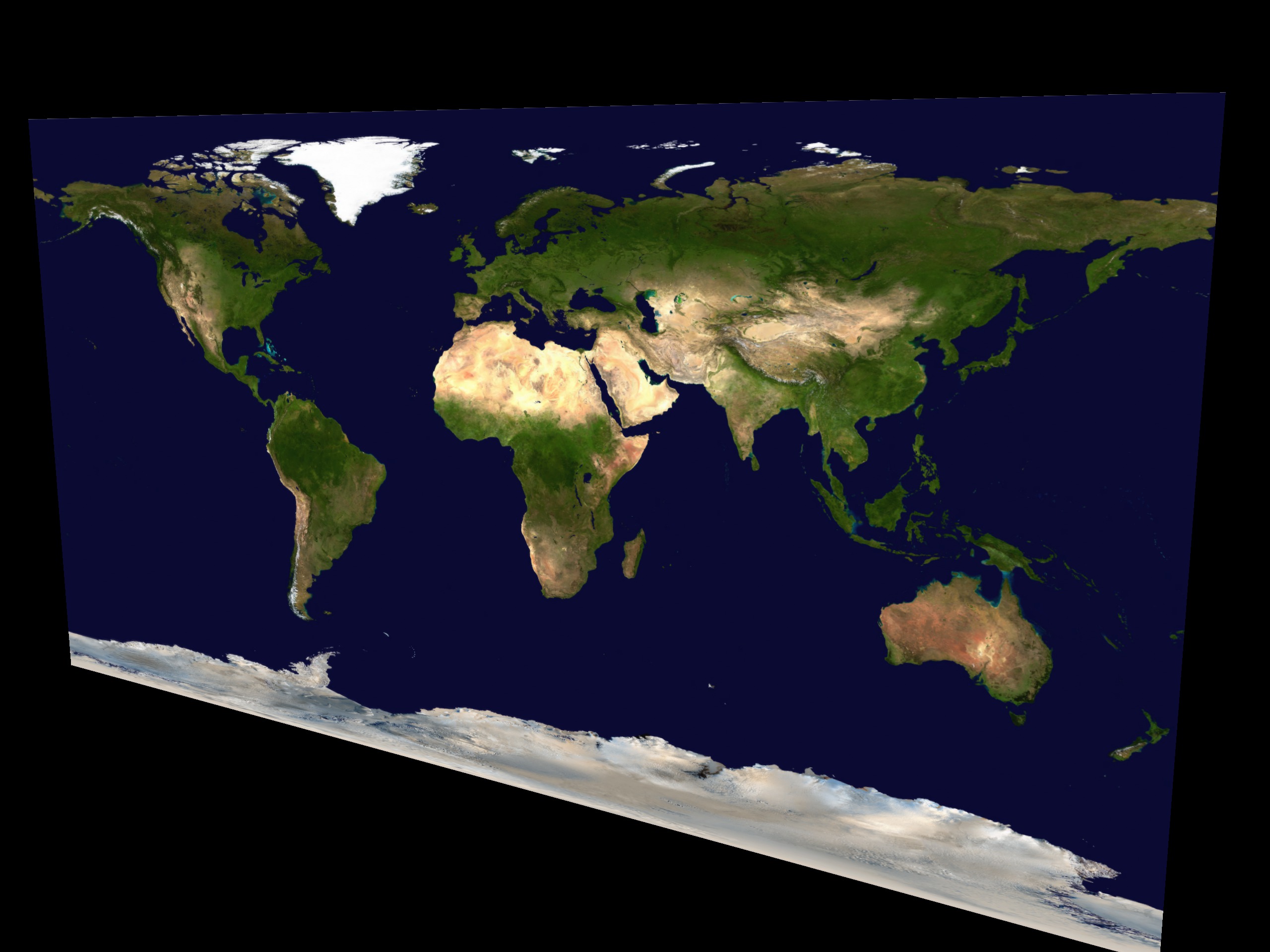
MODIS Albedo Globe Unwraps to MODIS Albedo True Color Flat Map
For More Information
Visualization Credits
Lori Perkins (NASA/GSFC): Lead Animator
Greg Shirah (NASA/GSFC): Animator
Crystal Schaaf (Boston University): Scientist
Elena Tsvetsinskaya (Boston University): Scientist
Greg Shirah (NASA/GSFC): Animator
Crystal Schaaf (Boston University): Scientist
Elena Tsvetsinskaya (Boston University): Scientist
Please give credit for this item to:
NASA/Goddard Space Flight Center Scientific Visualization Studio
NASA/Goddard Space Flight Center Scientific Visualization Studio
Short URL to share this page:
https://svs.gsfc.nasa.gov/2479
Mission:
Terra
Data Used:
Note: While we identify the data sets used in these visualizations, we do not store any further details nor the data sets themselves on our site.
This item is part of this series:
MODIS Albedo
Goddard TV Tape:
G2003-046
Keywords:
SVS >> Albedo
SVS >> Forecast
DLESE >> Physical geography
DLESE >> Soil science
NASA Science >> Planets and Moons
https://svs.gsfc.nasa.gov/2479
Mission:
Terra
Data Used:
Terra/MODIS
2000/11/01This item is part of this series:
MODIS Albedo
Goddard TV Tape:
G2003-046
Keywords:
SVS >> Albedo
SVS >> Forecast
DLESE >> Physical geography
DLESE >> Soil science
NASA Science >> Planets and Moons


