Earth
ID: 2383
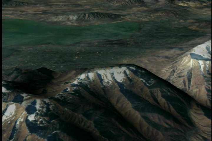
Landsat 7 imagery is combined here with terrain elevation data to create a view of the Salt Lake City area, looking towards the West. This image was taken in the fall of 2001 and can be compared to identical animations using images taken at other times of the year.
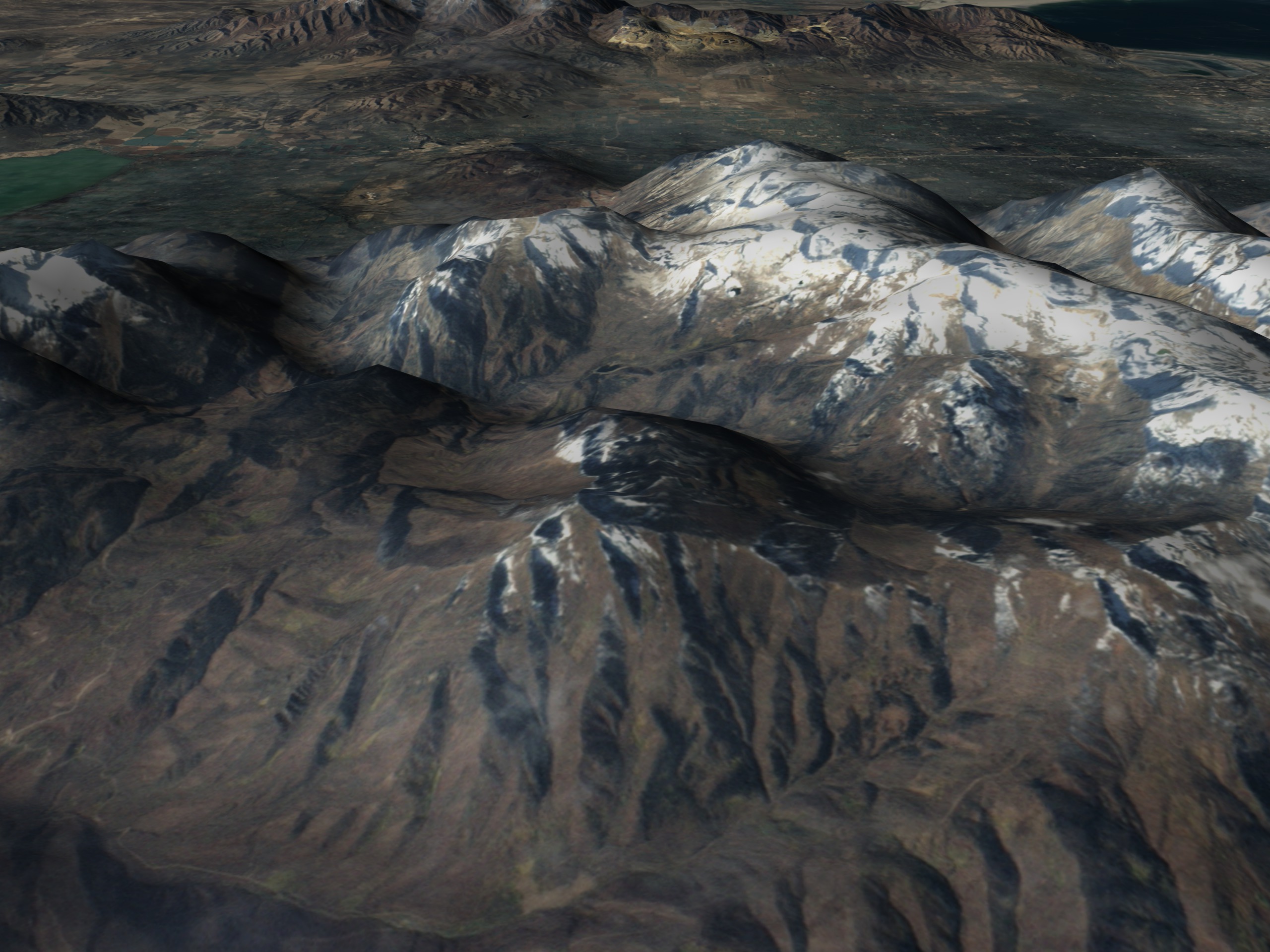
Seasonal Change around Salt Lake City: Fall
For More Information
Visualization Credits
James W. Williams (GST): Lead Animator
Marte Newcombe (GST): Animator
Darrel Williams (NASA/GSFC): Scientist
Marte Newcombe (GST): Animator
Darrel Williams (NASA/GSFC): Scientist
Please give credit for this item to:
NASA/Goddard Space Flight Center Scientific Visualization Studio
NASA/Goddard Space Flight Center Scientific Visualization Studio
Short URL to share this page:
https://svs.gsfc.nasa.gov/2383
Mission:
Landsat
Data Used:
Note: While we identify the data sets used in these visualizations, we do not store any further details nor the data sets themselves on our site.
This item is part of this series:
Olympics
Goddard TV Tape:
G2002-010A
Keywords:
SVS >> Olympics
NASA Science >> Earth
https://svs.gsfc.nasa.gov/2383
Mission:
Landsat
Data Used:
Landsat-7/ETM+
2001/10/19Mountaintop Elevation Data
This item is part of this series:
Olympics
Goddard TV Tape:
G2002-010A
Keywords:
SVS >> Olympics
NASA Science >> Earth


