Earth
ID: 2011
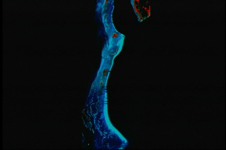
Near infrared data makes some areas on the reef jump out in bright red relief. The near infrared band best gathers the electromagnetic signature of a thriving ecosystem.

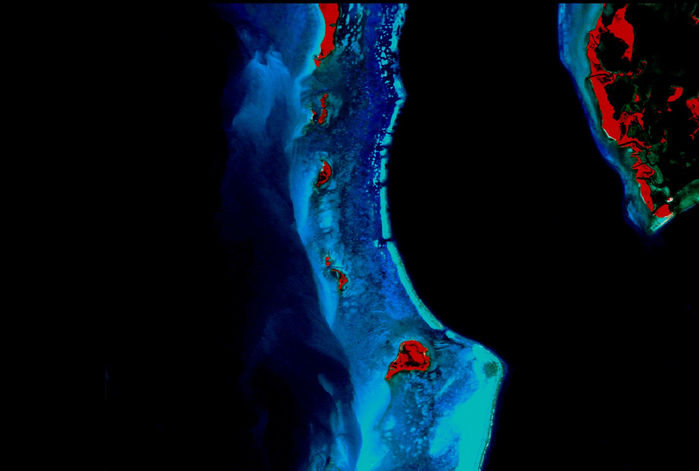
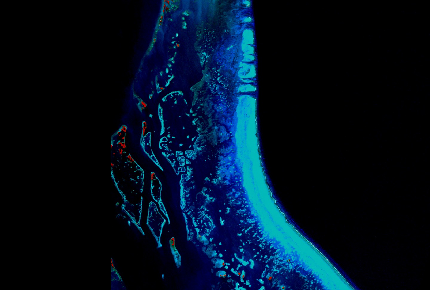
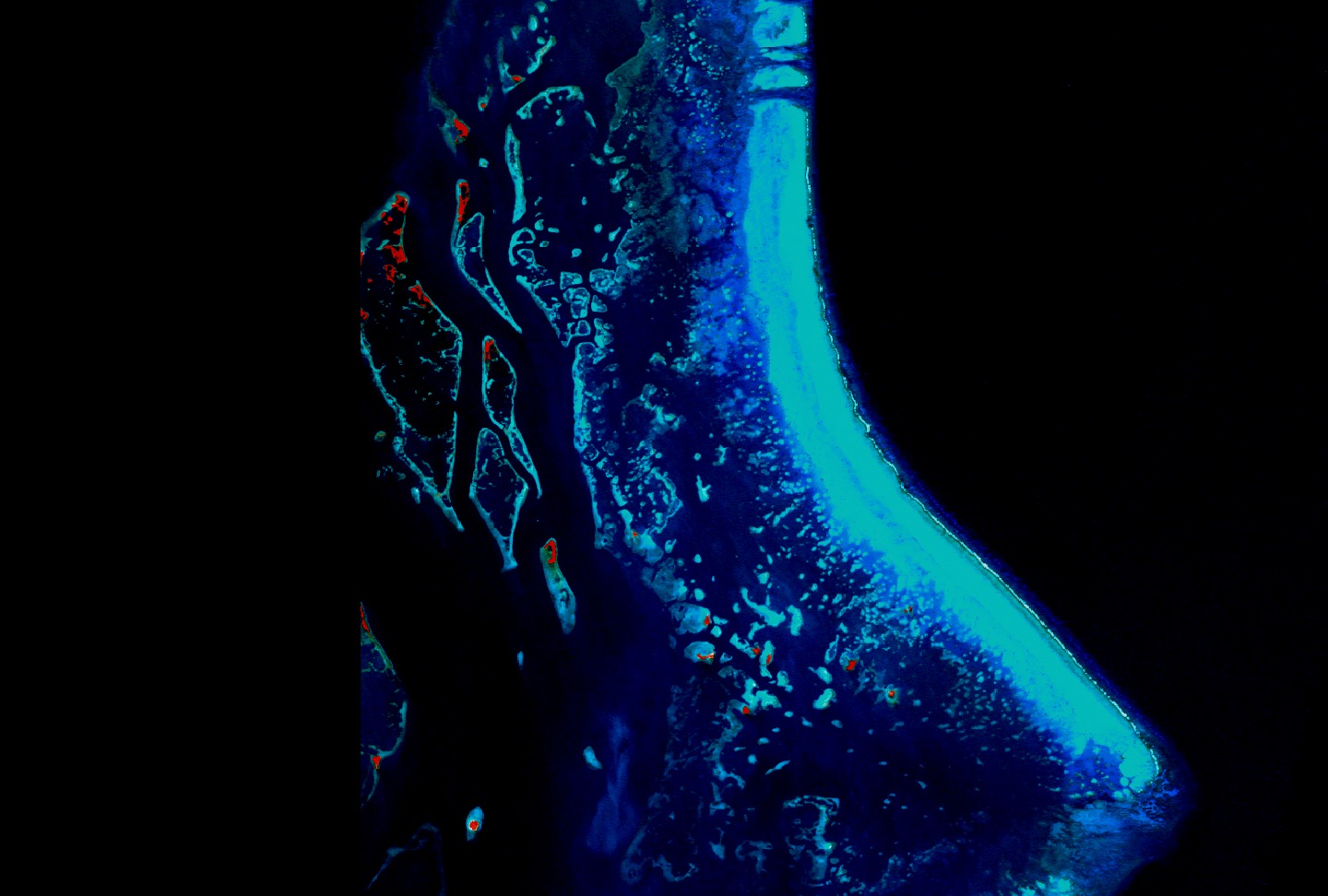
Landsat 7 Looks at Barriers
Visualization Credits
Please give credit for this item to:
NASA/Goddard Space Flight Center Scientific Visualization Studio
NASA/Goddard Space Flight Center Scientific Visualization Studio
Short URL to share this page:
https://svs.gsfc.nasa.gov/2011
Mission:
Landsat
Data Used:
Note: While we identify the data sets used in these visualizations, we do not store any further details nor the data sets themselves on our site.
This item is part of this series:
Landsat 7 Coral Reefs
Goddard TV Tape:
G2000-097
Keywords:
SVS >> Atolls
SVS >> Banks
SVS >> Barriers
DLESE >> Biological oceanography
SVS >> Coral Reefs
NASA Science >> Earth
https://svs.gsfc.nasa.gov/2011
Mission:
Landsat
Data Used:
Landsat-7/ETM+
1999, 2000This item is part of this series:
Landsat 7 Coral Reefs
Goddard TV Tape:
G2000-097
Keywords:
SVS >> Atolls
SVS >> Banks
SVS >> Barriers
DLESE >> Biological oceanography
SVS >> Coral Reefs
NASA Science >> Earth


