Earth
ID: 12663
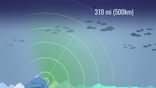
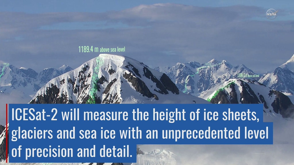
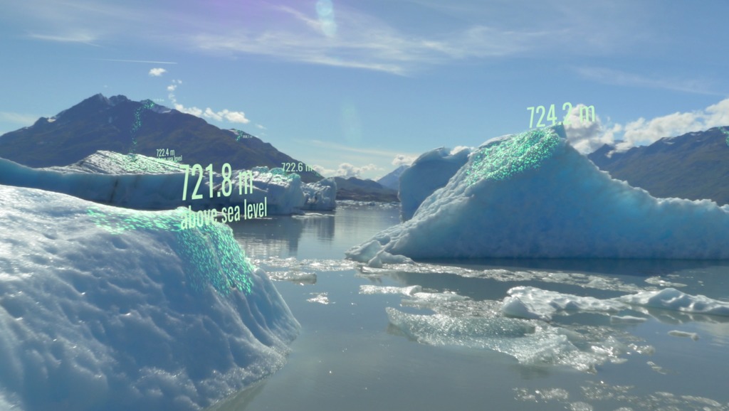
ICESat-2 will provide scientists with height measurements that create a global portrait of Earth’s third dimension, gathering data that can precisely track changes of terrain including glaciers, sea ice, forests and more. The single instrument on ICESat-2 is ATLAS, the Advanced Topographic Laser Altimeter System, will measure melting ice sheets and investigate how this effects sea level rise, investigate changes in the mass of ice sheets and glaciers, estimate and study sea ice thickness, and measure the height of vegetation in forests and other ecosystems worldwide.
ICESat-2 Elevates Our View of Earth
Used Elsewhere In

Related

Credits
Ryan Fitzgibbons (USRA): Lead Producer
Adriana Manrique Gutierrez (USRA): Lead Animator
Chris Meaney (KBR Wyle Services, LLC): Lead Animator
Rob Andreoli (Advocates in Manpower Management, Inc.): Lead Videographer
John Caldwell (Advocates in Manpower Management, Inc.): Videographer
Jefferson Beck (USRA): Videographer
Ryan Fitzgibbons (USRA): Lead Editor
Thorsten Markus (NASA/GSFC): Lead Scientist
Thomas A. Neumann Ph.D. (NASA/GSFC): Lead Scientist
Thorsten Markus (NASA/GSFC): Lead Interviewee
Thomas A. Neumann Ph.D. (NASA/GSFC): Lead Interviewee
Please give credit for this item to:
NASA's Goddard Space Flight Center
NASA's Goddard Space Flight Center
Short URL to share this page:
https://svs.gsfc.nasa.gov/12663
Mission:
Ice, Cloud, and land Elevation Satellite-2 (ICESat-2)
This item is part of this series:
Narrated Movies
Keywords:
SVS >> Elevation data
SVS >> HDTV
SVS >> Polar Ice
SVS >> Hyperwall
NASA Science >> Earth
https://svs.gsfc.nasa.gov/12663
Mission:
Ice, Cloud, and land Elevation Satellite-2 (ICESat-2)
This item is part of this series:
Narrated Movies
Keywords:
SVS >> Elevation data
SVS >> HDTV
SVS >> Polar Ice
SVS >> Hyperwall
NASA Science >> Earth


