Earth
ID: 11241

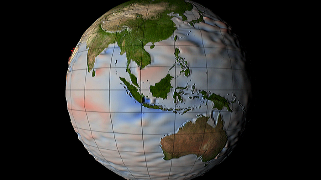
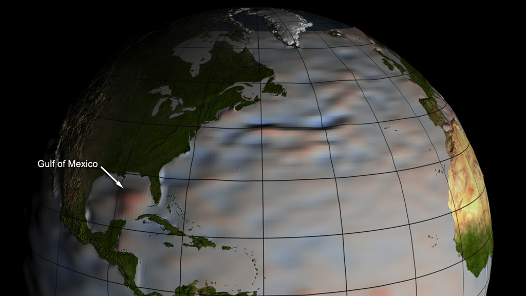
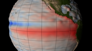
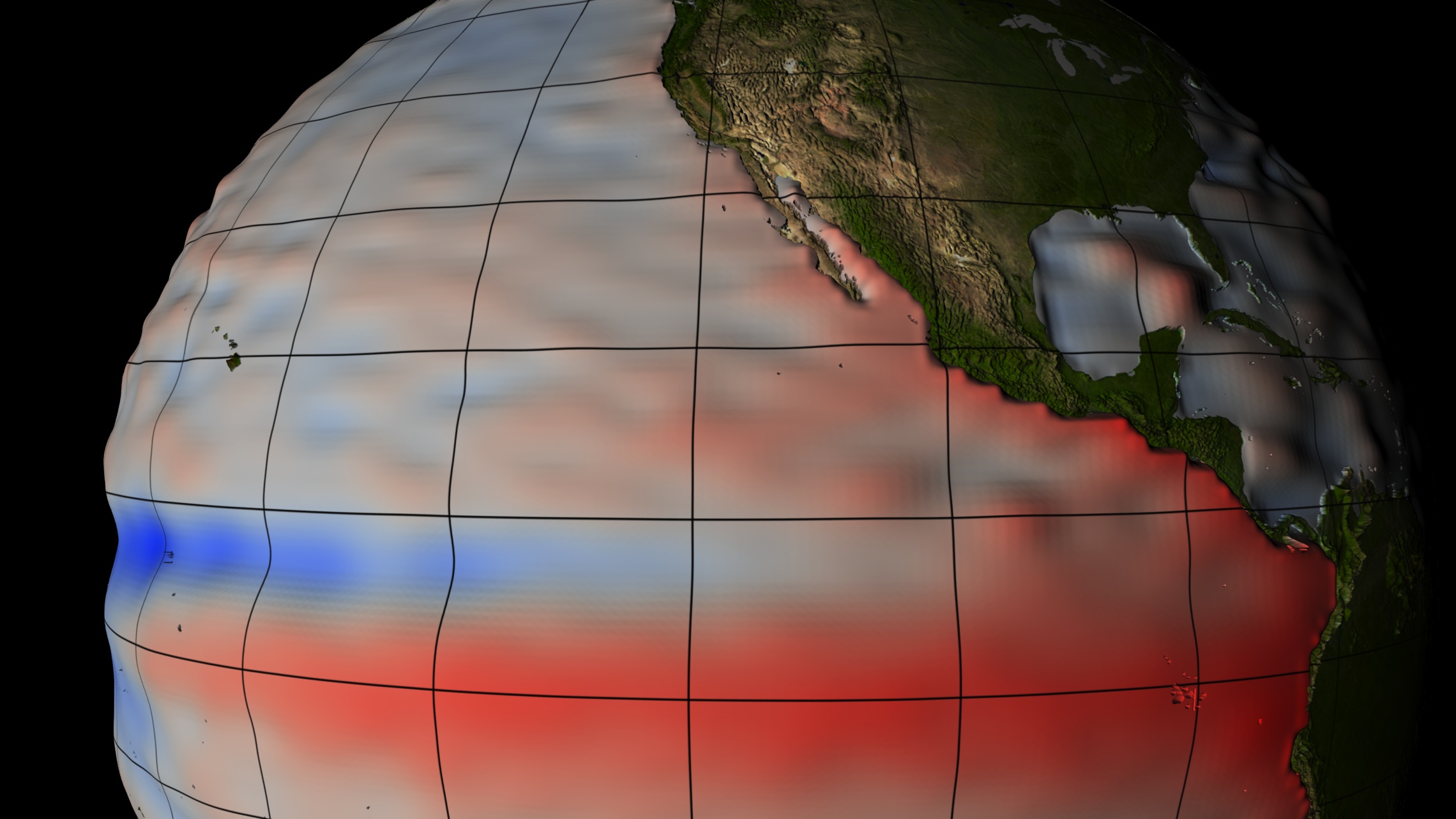
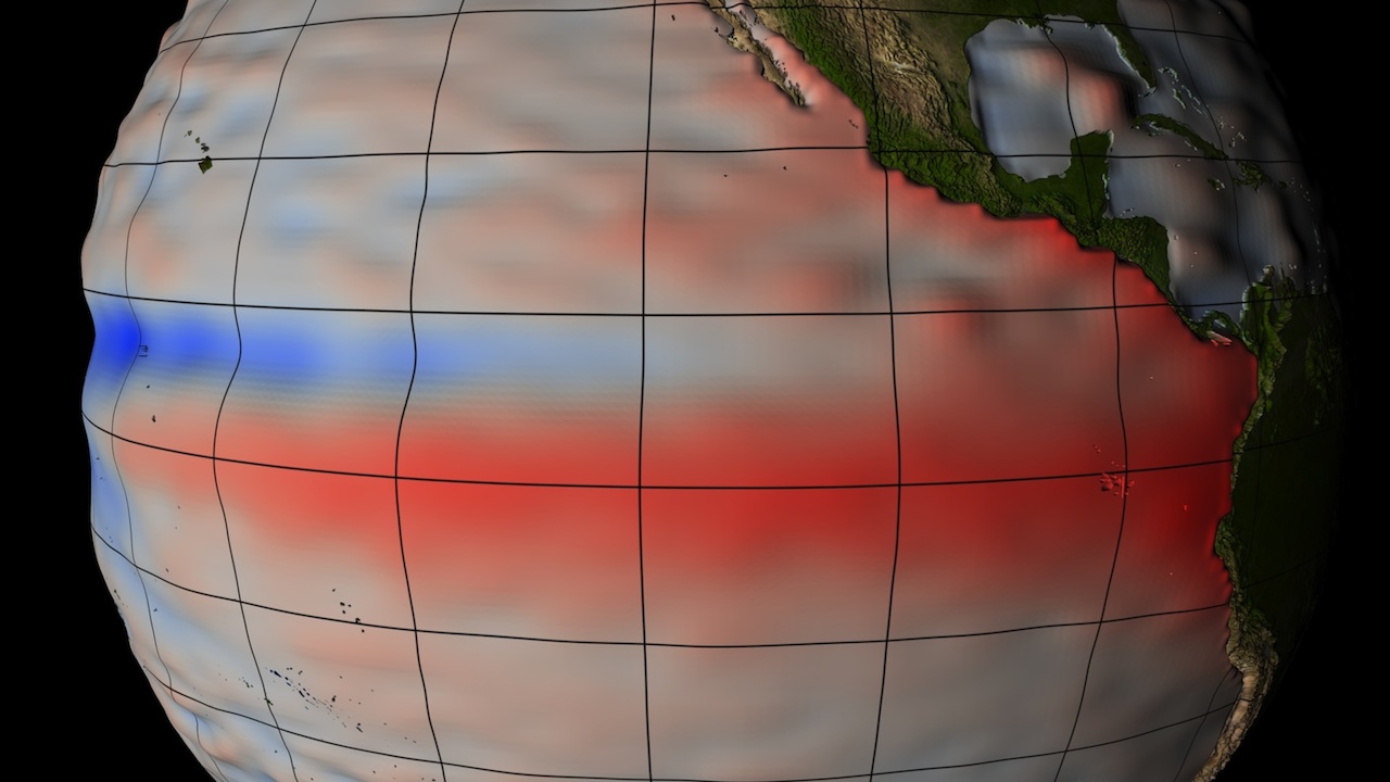
Sea level: The phrase brings to mind a flawless sphere with all the ocean blue a uniform height. But in fact, the surface of Earth's seas is not level at all. Driven by strong currents, local winds, and differing temperatures that cause sea water to expand or contract, the height of the ocean surface can vary by several feet across the globe. For two decades, NASA and other space agencies have taken precise satellite measurements of sea level, down to the millimeter. The data reveals a surface layer in constant flux, marked by local ripples that rise and fall and massive swells that span oceans. Understanding what causes these differences will only become more important in coming decades, as scientists expect rising sea levels to affect some regions harder than others. Watch the visualization for a look at how sea level fluctuates around the world.


Monitoring Sea Level
Related Story
Story Credits
Visualizer/Animator:
Greg Shirah (NASA/GSFC)
Lead Scientist:
Akiko Hayashi (NASA/JPL CalTech)
Lead Writer:
Patrick Lynch (Wyle Information Systems)
Greg Shirah (NASA/GSFC)
Lead Scientist:
Akiko Hayashi (NASA/JPL CalTech)
Lead Writer:
Patrick Lynch (Wyle Information Systems)
Please give credit for this item to:
NASA's Goddard Space Flight Center
NASA's Goddard Space Flight Center
Short URL to share this page:
https://svs.gsfc.nasa.gov/11241
Keywords:
SVS >> App
NASA Science >> Earth
https://svs.gsfc.nasa.gov/11241
Keywords:
SVS >> App
NASA Science >> Earth


