Earth
ID: 11010

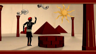
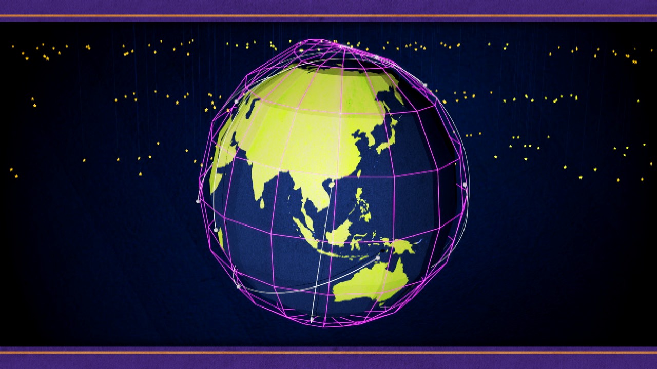
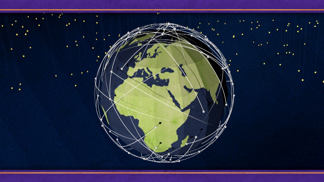
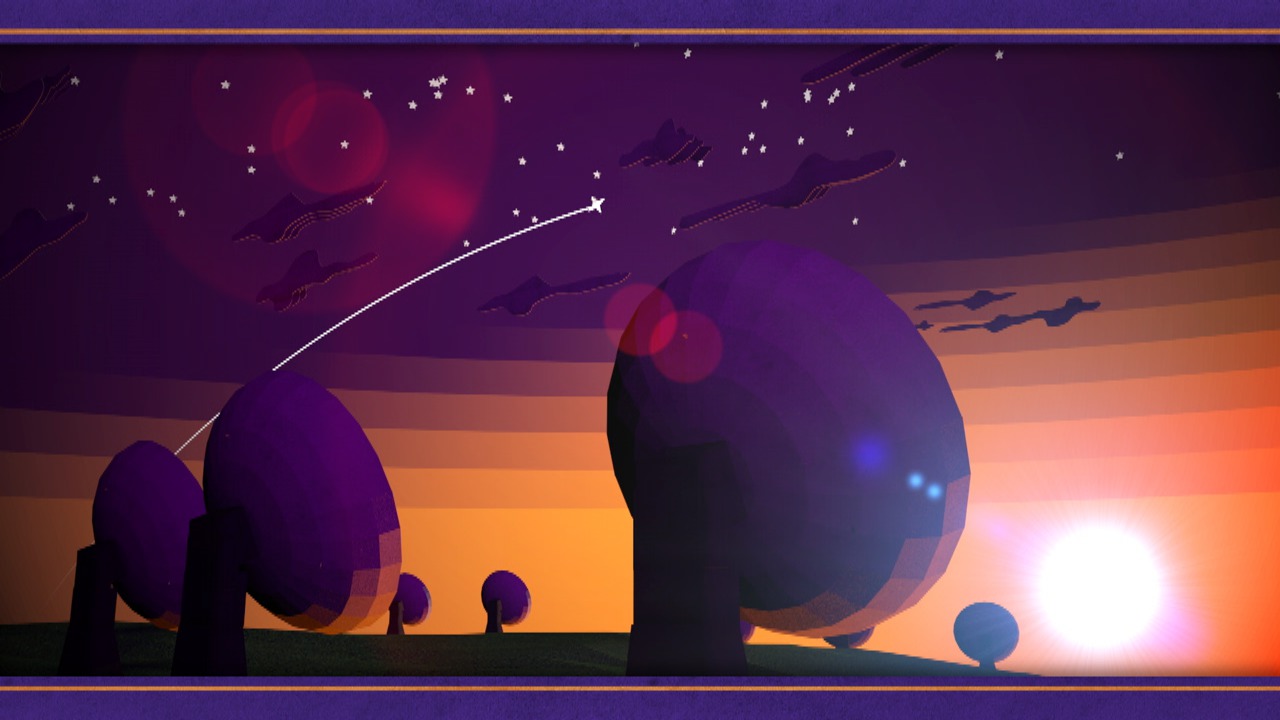
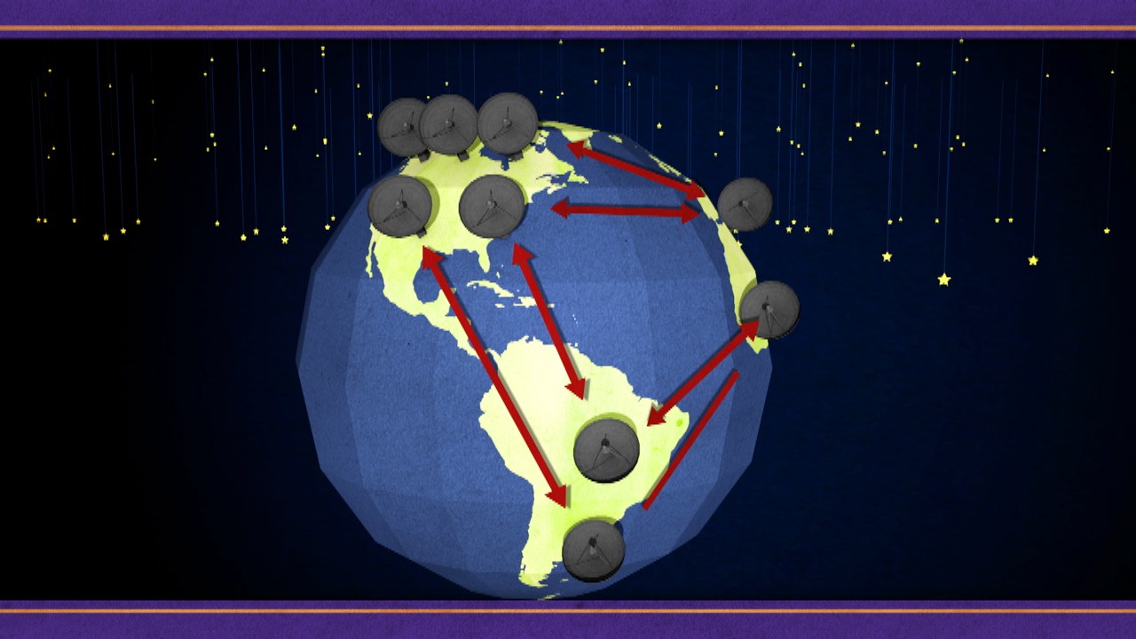
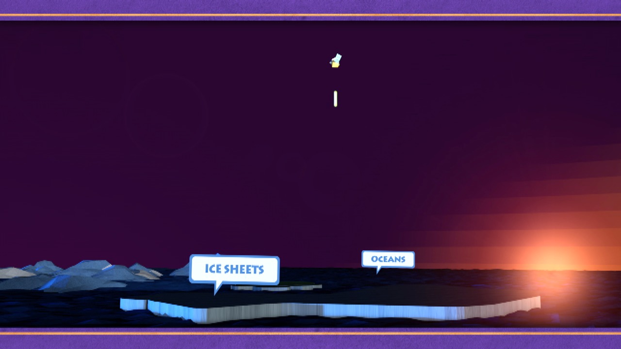
At a given point in time, Earth usually seems stable. But over centuries, lands rise and sink, continents move and the balance of the ocean shifts. These changes are tracked through the science of geodesy, dedicated to measuring and precisely charting the size and shape of Earth. Geodesy began more than 2,000 years ago, when the Greek scholar Eratosthenes calculated the circumference of Earth with impressive accuracy. In modern geodesy, scientists use multiple techniques to map the world's ice sheets, watch sea level creep up and monitor the impact of earthquakes, droughts and floods. This animated video looks at the long history of geodesy and highlights some of the technologies NASA uses, such as radio telescopes and long-range lasers, to take the basic measure of our planet.


Sizing Up Earth
Related Story
For More Information
Story Credits
Visualizer/Animator:
Chris Smith (HTSI)
Video Editor:
Chris Smith (HTSI)
Narrator:
Steven J. Wall (MUNIZ)
Producer:
Chris Smith (HTSI)
Lead Scientists:
Herbert Frey (NASA/GSFC)
Frank Lemoine (NASA/GSFC)
Stephen Merkowitz (NASA/GSFC)
Lead Writer:
Elizabeth Zubritsky (ADNET)
Chris Smith (HTSI)
Video Editor:
Chris Smith (HTSI)
Narrator:
Steven J. Wall (MUNIZ)
Producer:
Chris Smith (HTSI)
Lead Scientists:
Herbert Frey (NASA/GSFC)
Frank Lemoine (NASA/GSFC)
Stephen Merkowitz (NASA/GSFC)
Lead Writer:
Elizabeth Zubritsky (ADNET)
Please give credit for this item to:
NASA's Goddard Space Flight Center
NASA's Goddard Space Flight Center
Short URL to share this page:
https://svs.gsfc.nasa.gov/11010
Keywords:
DLESE >> Narrated
SVS >> App
NASA Science >> Earth
https://svs.gsfc.nasa.gov/11010
Keywords:
DLESE >> Narrated
SVS >> App
NASA Science >> Earth


