Earth
ID: 10914
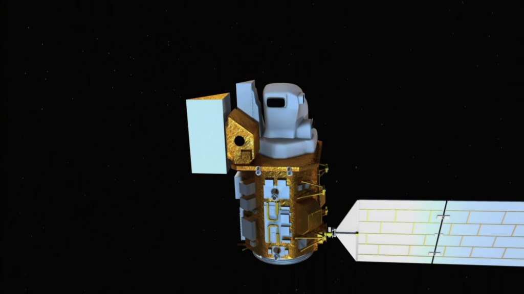
The Thermal InfraRed Sensor (TIRS) is one of the instruments on the Landsat Data Continuity Mission (LDCM) satellite. It will continue the archive of thermal imaging and support emerging applications such as evapotranspiration rate measurements for water management. TIRS is being built by NASA GSFC and has a three-year design life.
TIRS - the Thermal Infrared Sensor on LDCM
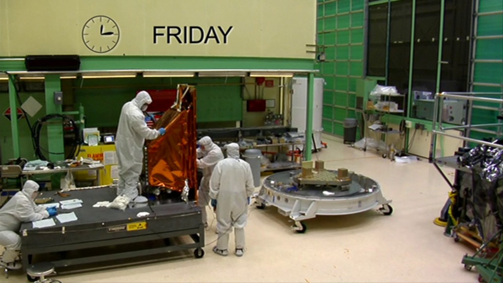
In February 2012, TIRS was shipped from GSFC to Orbital Sciences Corporation in Gilbert, Arizona to be integrated with the LDCM spacecraft.
TIRS operates in a pushbroom mode to create images in two IR bands, centered at 10.8 and 12.0 microns, over a 185 km swath with a 100 m spatial resolution. The TIRS design includes cryogenically-cooled QWIP detector arrays and a steerable mirror to choose among 3 views: nadir for Earth observations, on-board warm blackbody for calibration, and deep space for calibration. The TIRS data will be registered to the OLI data to create radiometrically, geometrically, and terrain-corrected 12-bit LDCM data products.
Related
Credits
Rachel Kreutzinger (USRA): Lead Animator
Matthew R. Radcliff (USRA): Video Editor
James R. Irons (NASA/GSFC): Interviewee
Elizabeth M. Forsbacka (NASA/GSFC): Interviewee
Veronica Otero (NASA/GSFC): Interviewee
Ellen T. Gray (ADNET Systems, Inc.): Narrator
Matthew R. Radcliff (USRA): Producer
James R. Irons (NASA/GSFC): Scientist
Matthew R. Radcliff (USRA): Videographer
Rob Andreoli (Advocates in Manpower Management, Inc.): Videographer
Matthew R. Radcliff (USRA): Writer
Aries Keck (ADNET Systems, Inc.): Writer
Please give credit for this item to:
NASA/Goddard Space Flight Center Landsat is a joint program of NASA and the USGS.
NASA/Goddard Space Flight Center Landsat is a joint program of NASA and the USGS.
Short URL to share this page:
https://svs.gsfc.nasa.gov/10914
Mission:
Landsat
This item is part of these series:
Narrated Movies
Landsat
Goddard TV Tape:
G2012-011 -- TIRS Overview
Keywords:
SVS >> HDTV
SVS >> Landsat
GCMD >> Earth Science >> Agriculture
GCMD >> Earth Science >> Atmosphere >> Atmospheric Water Vapor >> Evapotranspiration
SVS >> Engineers
DLESE >> Narrated
NASA Science >> Earth
GCMD keywords can be found on the Internet with the following citation: Olsen, L.M., G. Major, K. Shein, J. Scialdone, S. Ritz, T. Stevens, M. Morahan, A. Aleman, R. Vogel, S. Leicester, H. Weir, M. Meaux, S. Grebas, C.Solomon, M. Holland, T. Northcutt, R. A. Restrepo, R. Bilodeau, 2013. NASA/Global Change Master Directory (GCMD) Earth Science Keywords. Version 8.0.0.0.0


