Earth
ID: 10852

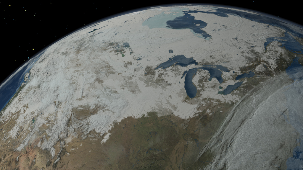
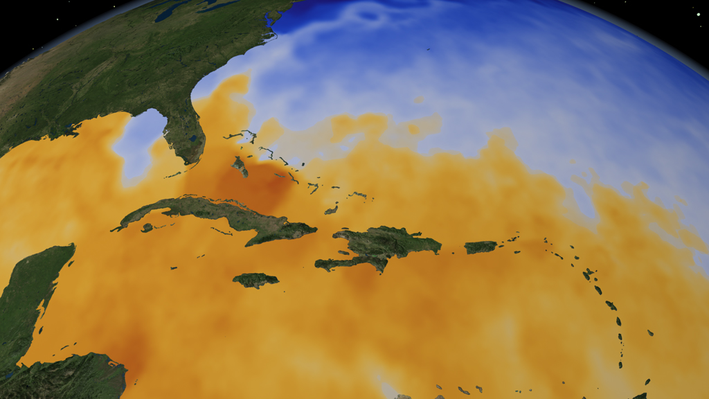
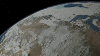
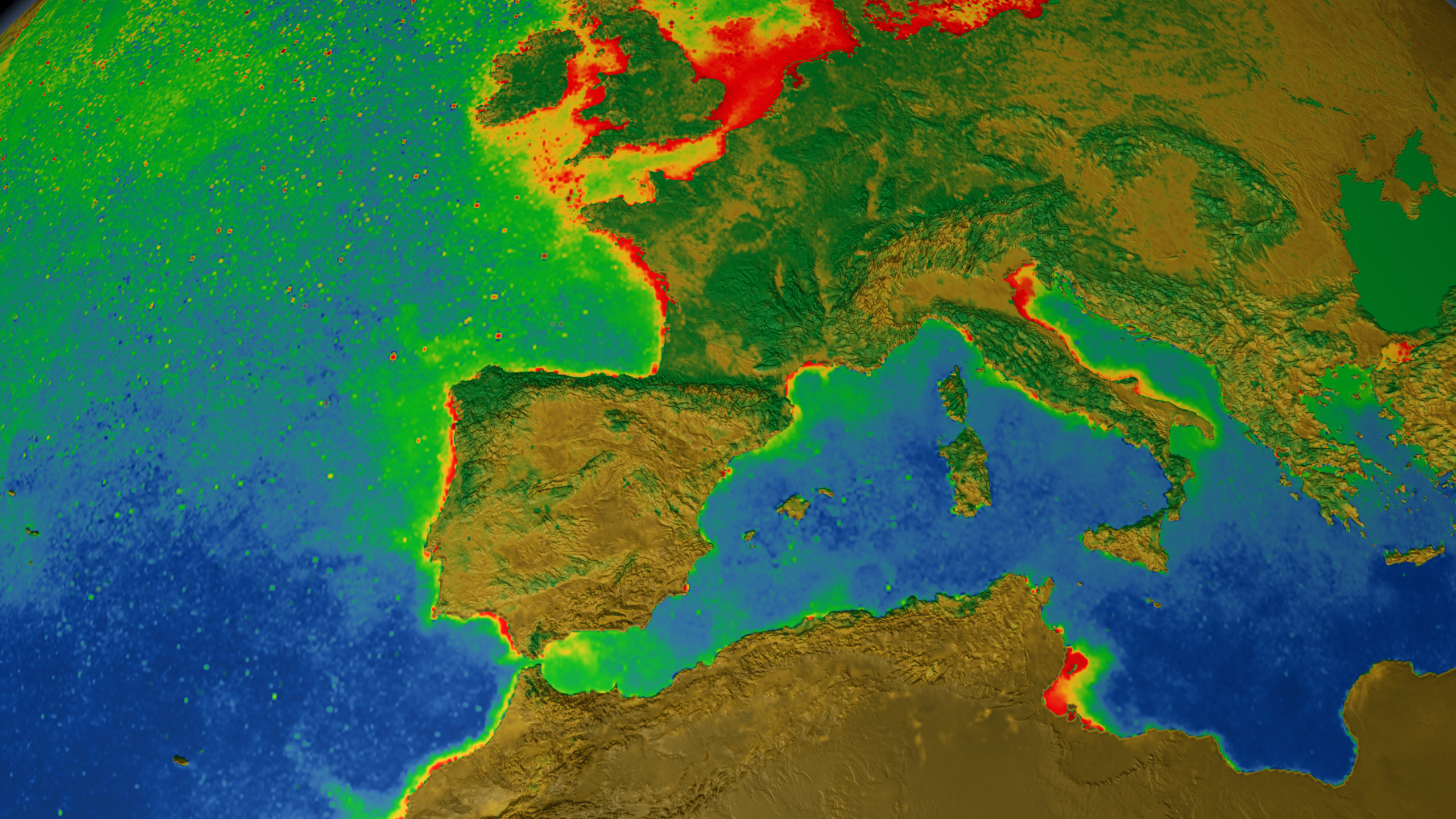
Satellites have the unique ability to observe Earth's many dynamic features in motion. Precise, calibrated instruments capture the movement of clouds swirling across continents and the regenerative sprouting of vegetation on land. Peering beneath the ocean surface, these same satellites are able to discern the invisible boundary between areas of warm and cold water and locations teeming with microscopic life. The visualization below explores these features and many others through multiple layers of satellite data collected in the Northern Hemisphere over various time periods and played at different speeds. First, clouds move across North America over 12 days. Then, with the clouds removed and the visualization moving faster, snow and ice cover creep from the Arctic and parts of Canada into the United States over approximately three months. Panning south, a golden mass of warm ocean water trails across the Atlantic. As the visualization speeds up, nearly four years of phytoplankton blooms represented by vibrant shades of green, yellow and red along the west coast of Africa are shown as well as the seasonal greening and browning of vegetation across Europe.

Chameleon Earth
Related Story
Story Credits
Lead Visualizer/Animator:
Cindy Starr (Global Science and Technology, Inc.)
Visualizers/Animators:
Greg Shirah (NASA/GSFC)
Alex Kekesi (Global Science and Technology, Inc.)
Tom Bridgman (Global Science and Technology, Inc.)
Lead Writer:
Patrick Lynch (Wyle Information Systems)
Cindy Starr (Global Science and Technology, Inc.)
Visualizers/Animators:
Greg Shirah (NASA/GSFC)
Alex Kekesi (Global Science and Technology, Inc.)
Tom Bridgman (Global Science and Technology, Inc.)
Lead Writer:
Patrick Lynch (Wyle Information Systems)
Please give credit for this item to:
NASA's Goddard Space Flight Center
NASA's Goddard Space Flight Center
Short URL to share this page:
https://svs.gsfc.nasa.gov/10852
Keywords:
NASA Science >> Earth
SVS >> App
https://svs.gsfc.nasa.gov/10852
Keywords:
NASA Science >> Earth
SVS >> App


