360 and VR Gallery
Overview
Visualizations in 360 and VR formats
360 Videos
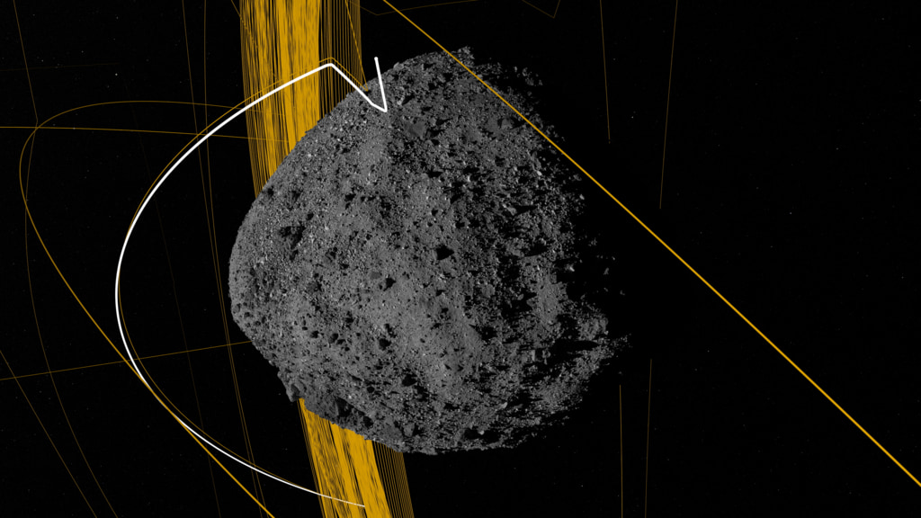
- ID: 13856
 Animation
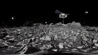
 - ID: 13733
 Produced Video
 - ID: 4685
 Visualization
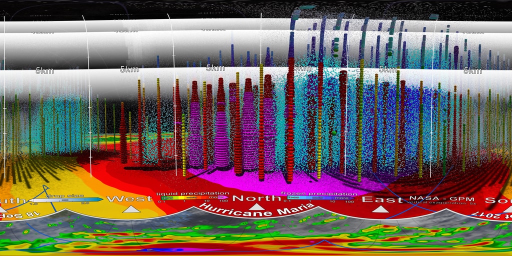
 - ID: 13079
![This is a 360° video that can be downloaded and viewed on 360° video platforms such as YouTube and Facebook. Complete transcript available.Music credit: "The Answer" by Laurent Levesque [SACEM] from Killer Tracks](/vis/a010000/a013000/a013079/Inside_Hurricane_Maria_in_360.00001_print.jpg) Produced Video
Produced Video - ID: 13043
- ID: 4201
- ID: 13711
 Produced Video
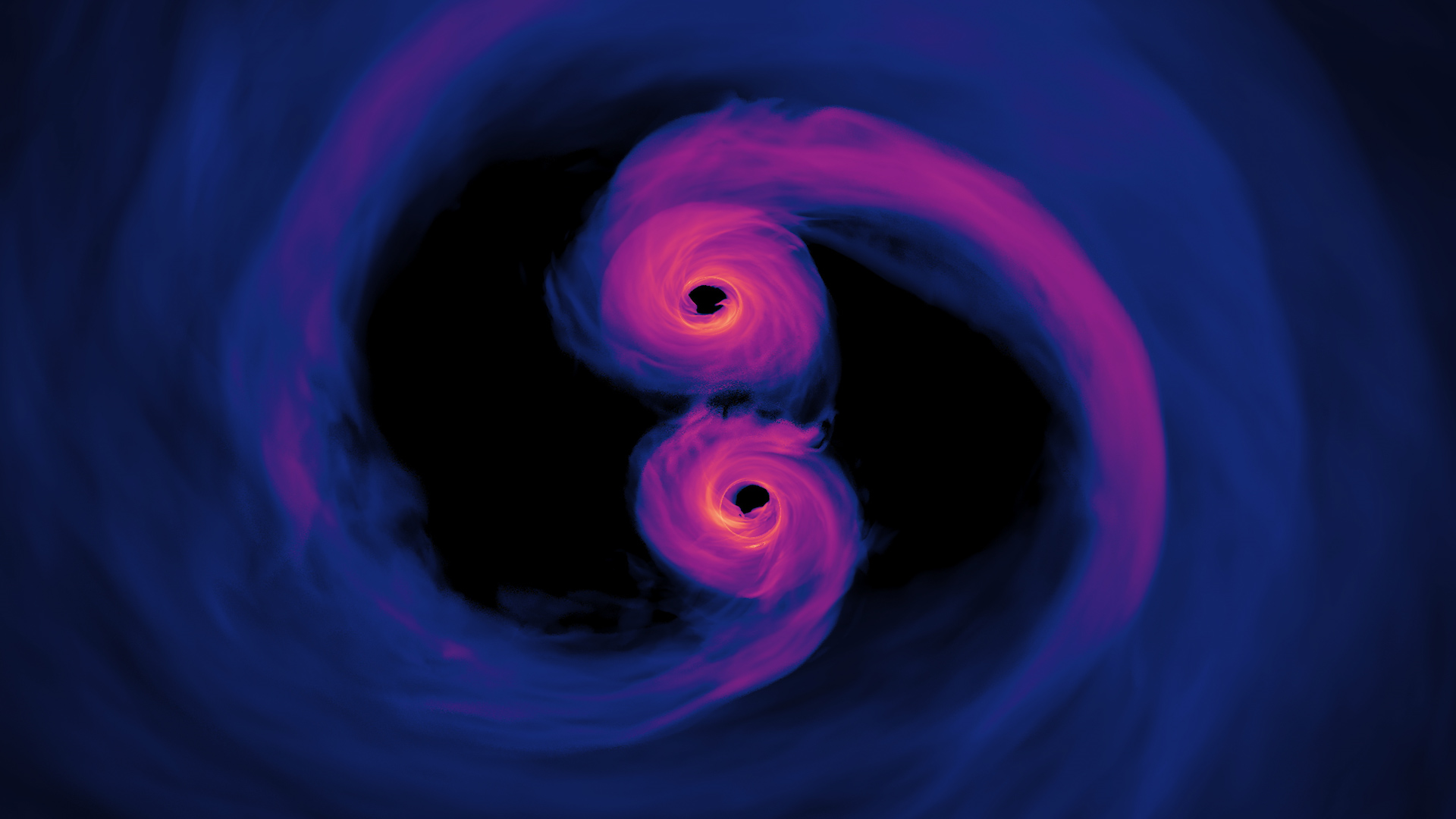
 - ID: 13251
 Produced Video
 - ID: 13091
- ID: 13060
 Produced Video
 - ID: 12940
 Produced Video