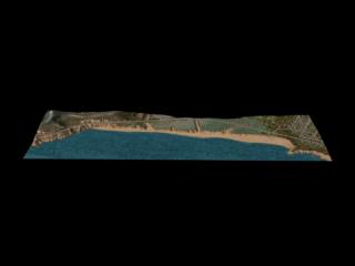
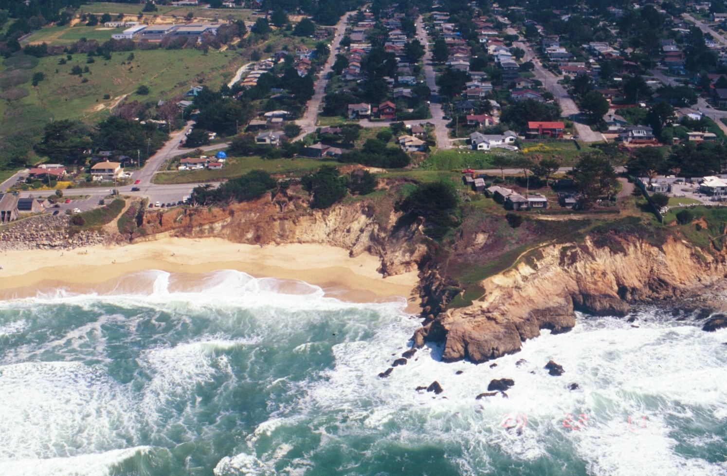
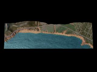
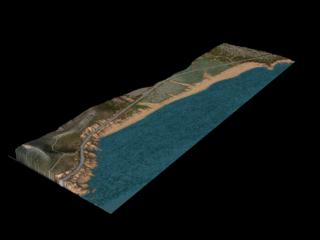
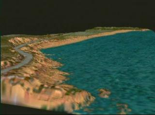
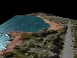
Beach Erosion: Pan Around Montara, California in 1997
A pan around the beach at Montara, California from laser altimetry data taken in 1997. The pan pauses at several locations to match still frames rendered for a 1998 data set showing significant beach erosion. Match-framed to stills found in animations #624, 627, 628, 630, and 633.
For More Information
Credits
Please give credit for this item to:
NASA/Goddard Space Flight Center
Scientific Visualization Studio
-
Animator
-
Alex Kekesi
(Global Science and Technology, Inc.)

-
Alex Kekesi
(Global Science and Technology, Inc.)
-
Scientists
- William Krabill (NASA/GSFC Wallops)
- Serdar Manizade (NASA/GSFC Wallops)
Series
This page can be found in the following series:Datasets used
-
Topography [Airplane: Airborne Topographic Mapper]
ID: 232
Note: While we identify the data sets used on this page, we do not store any further details, nor the data sets themselves on our site.
Related
- ID: 624
- ID: 625
- ID: 627
- ID: 628
- ID: 630
- ID: 633
Release date
This page was originally published on Friday, January 1, 1999.
This page was last updated on Wednesday, May 3, 2023 at 1:59 PM EDT.