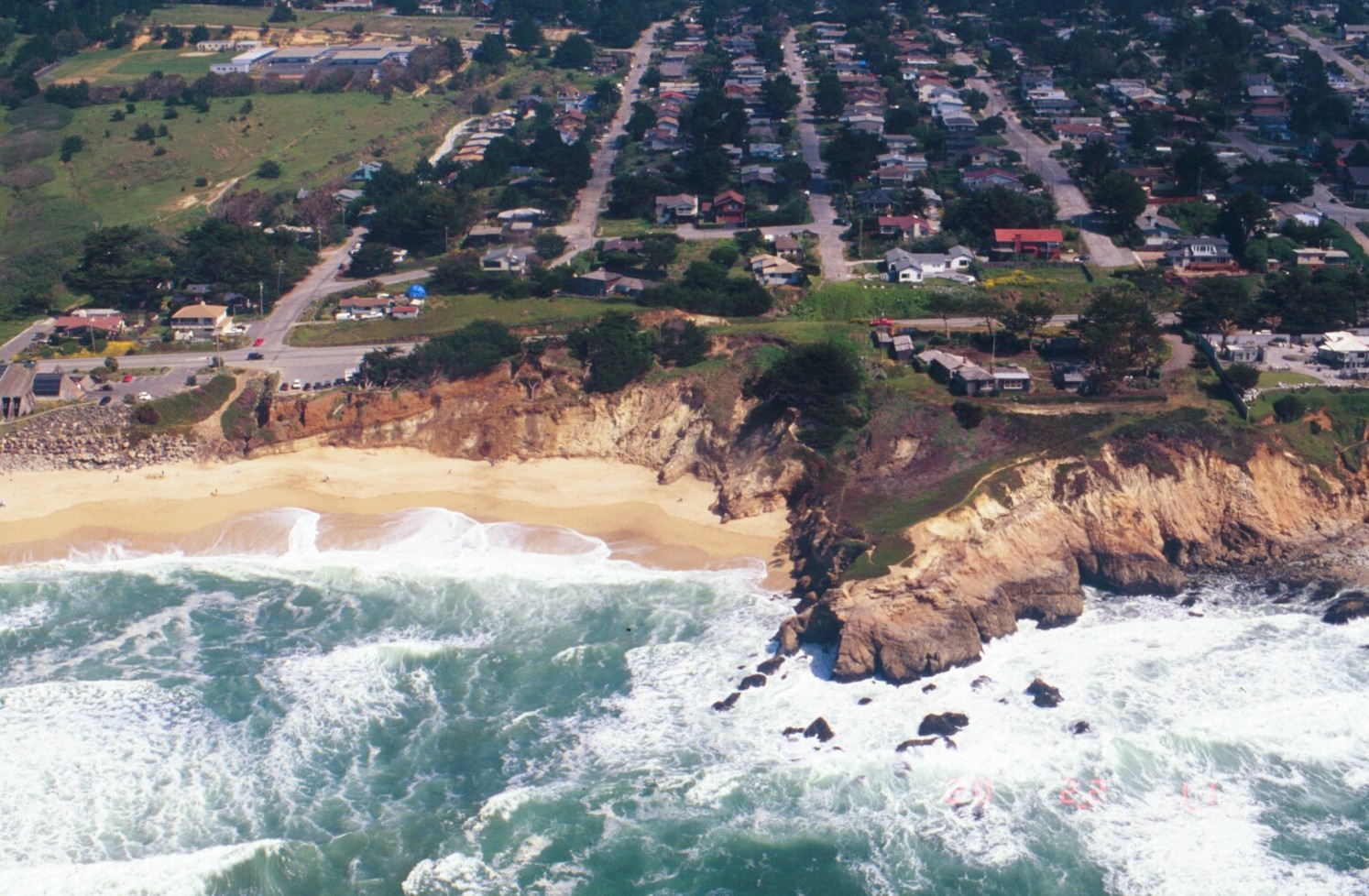
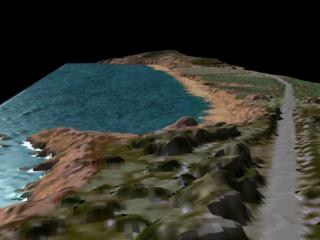
Beach Erosion: Eastward View of Beach Near Montara, California
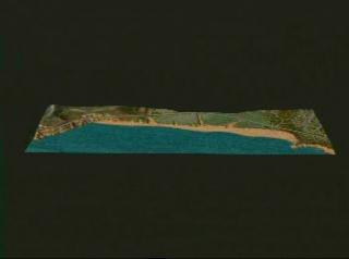
Beach erosion along the western California coastline from 1997 to 1998. It is believed that the 1998 El Niño event was a major factor in this rapid coastal erosion.
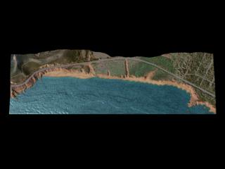
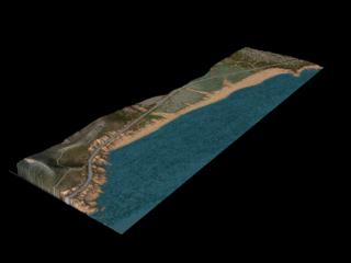
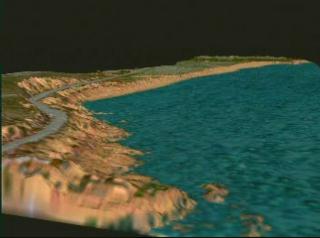
Beach erosion animation

Airborne laser altimetry data of the beach near Montara, California in 1997
Laser altimeter data taken one year later (1998)
For More Information
Credits
Please give credit for this item to:
NASA/Goddard Space Flight Center
Scientific Visualization Studio
-
Animator
-
Alex Kekesi
(Global Science and Technology, Inc.)

-
Alex Kekesi
(Global Science and Technology, Inc.)
-
Scientists
- William Krabill (NASA/GSFC Wallops)
- Serdar Manizade (NASA/GSFC Wallops)
Series
This page can be found in the following series:Datasets used
-
Topography [Airplane: Airborne Topographic Mapper]
ID: 232
Note: While we identify the data sets used on this page, we do not store any further details, nor the data sets themselves on our site.
Related
- ID: 625
- ID: 627
- ID: 628
- ID: 630
- ID: 633
- ID: 634
 Visualization
Release date
This page was originally published on Friday, January 1, 1999.
This page was last updated on Wednesday, May 3, 2023 at 1:59 PM EDT.