How NASA Data Stabilizes Global Markets
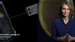
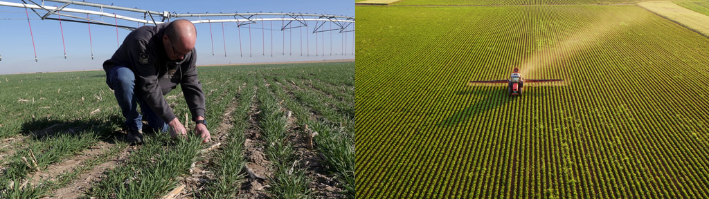
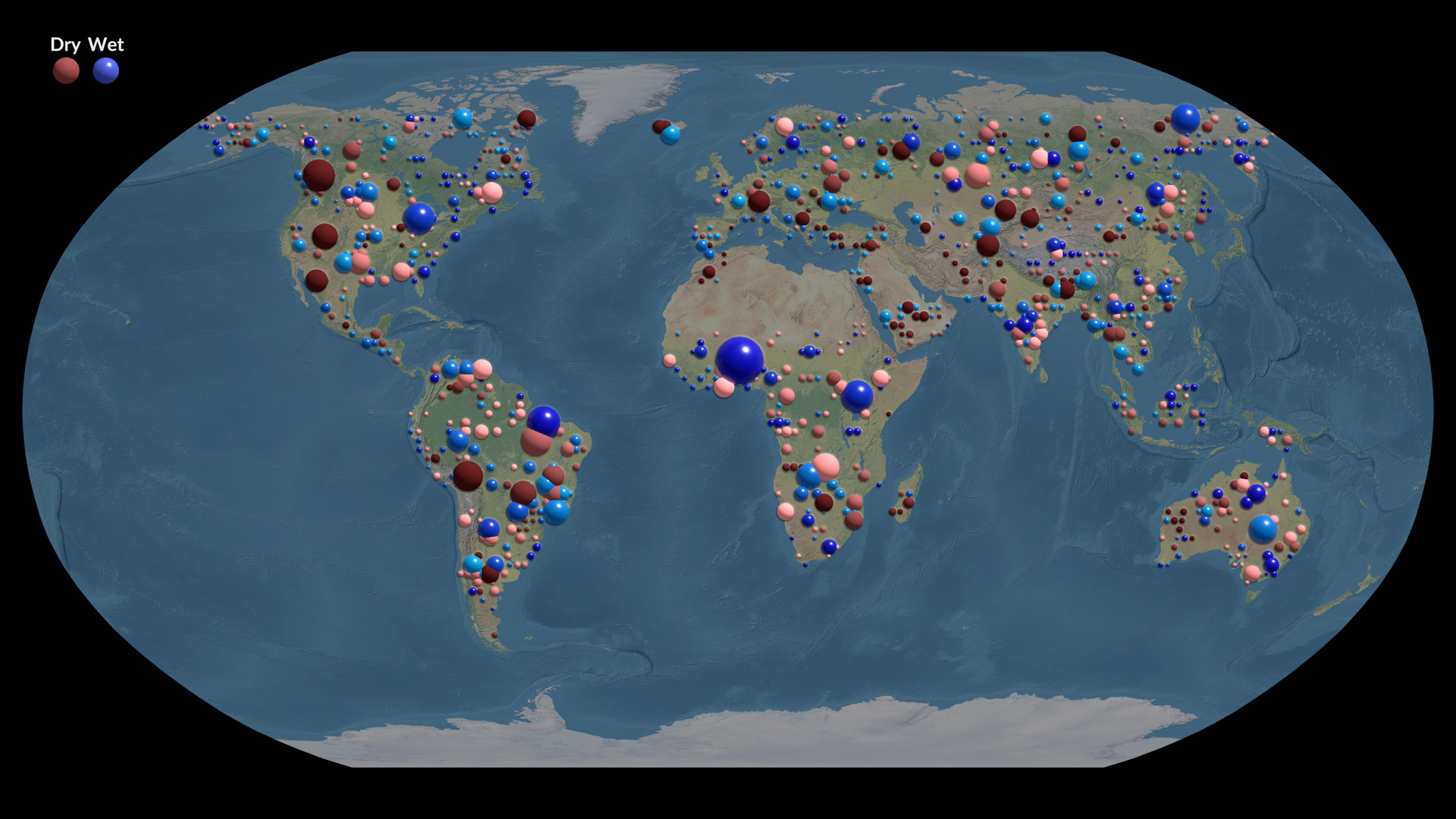
NASA partners with the U.S. Department of Agriculture (USDA) to help stabilize world food markets by providing critical Earth observation data that tracks global crop production. Each month, this data feeds into the World Agricultural Supply and Demand Estimates (WASDE) report—an essential resource used by farmers, traders, and policymakers to forecast agricultural trends and anticipate global food supply disruptions.
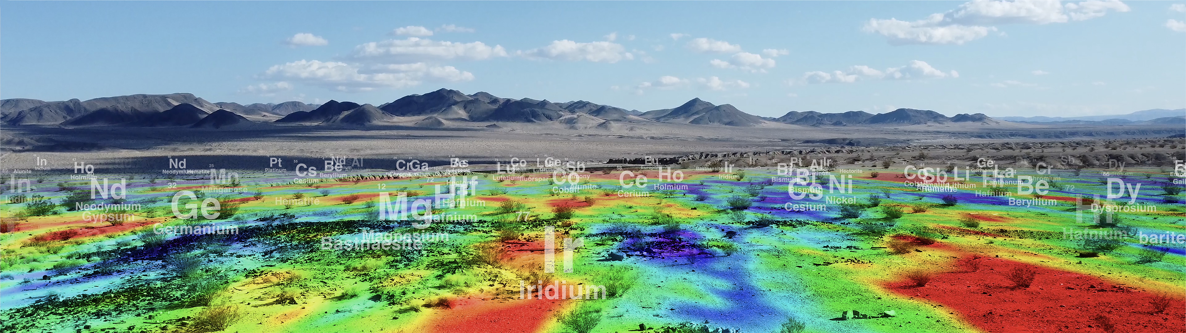
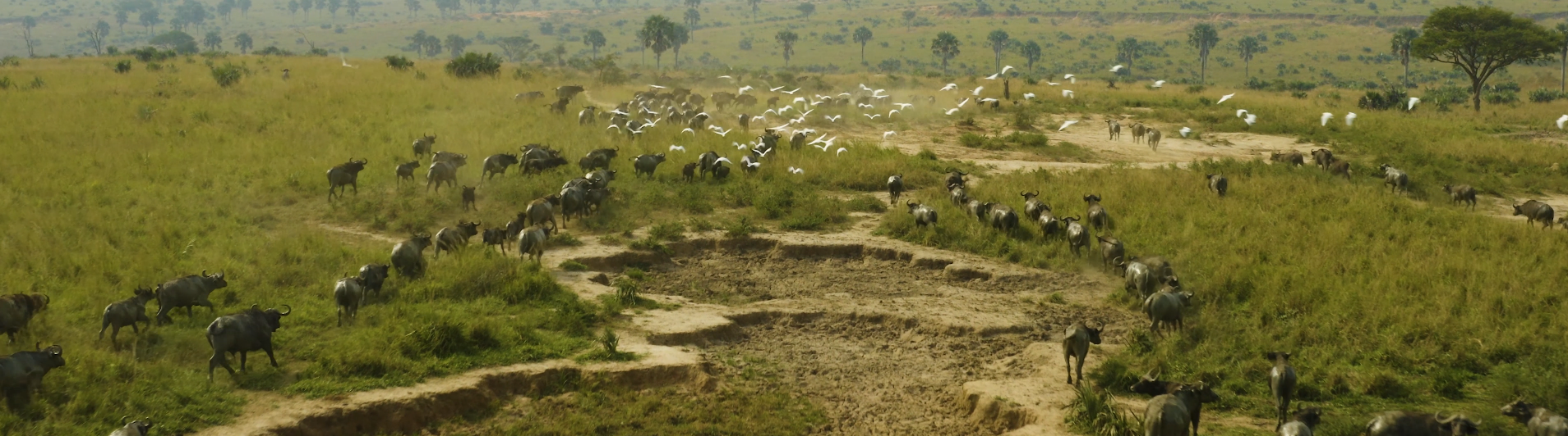
Using satellite observations combined with ground reports and meteorological data, NASA enables USDA analysts to monitor crops across the planet—including regions that are otherwise hard to access. This global perspective helps identify emerging droughts, floods, and other agricultural risks before harvest, allowing markets to respond quickly and effectively.
By delivering timely, science-based insights from space, NASA supports smarter farming decisions and helps keep food prices more stable for consumers around the world
To learn more about NASA’s Earth Information Center and how NASA supports agriculture, visit: https://earth.gov/
Full 8K resolution. Optimized for Earth Information Center display.
Music Credit: "Out on the Tiles", by Paul Louis Reeves, Cliff Haywood, Publisher: Freshworx Music Limited from Universal Production Music; "Hip and Happening", by Gary James Crockett, Jason Glover, Richard Anthony Milner, Publisher: Zone Music Ltd from Universal Production Music.
This video can be freely shared and downloaded. While the video in its entirety can be shared without permission, some individual imagery provided by Pexels and Pond5 is obtained through permission and may not be excised or remixed in other products. For more information on NASA’s media guidelines, visit https://www.nasa.gov/multimedia/guidelines/index.html
Complete transcript available.
Watch this video on the NASA Scientific Visualization Studio YouTube channel.
Left circle display video.
Right circle display video.
Vertical version of the video for social media.
Credits
NASA and USDA
-
Producers
- James Round (NASA/JPL CalTech)
-
Eleanor Stokes
(NASA)

-
Nicole Ramberg-Phil
(SSAI)
-
Writer
- James Round (NASA/JPL CalTech)
-
Camera
- James Round (NASA/JPL CalTech)
- Grace Weikert (eMITS)
-
Scientist
- Brad Doorn (NASA/HQ)
-
Chief economist
- Seth Meyers (USDA)
-
Visualizers
-
Helen-Nicole Kostis
(USRA)
-
Greg Shirah
(NASA/GSFC)
-
Mark SubbaRao
(NASA/GSFC)
- John S. Howard (NASA/JPL CalTech)
-
Helen-Nicole Kostis
(USRA)
-
Technical support
- Brenda Lopez-Silva (SSAI)
-
Support
-
Helen-Nicole Kostis
(USRA)
-
Mark SubbaRao
(NASA/GSFC)
- Katie Jepson (eMITS)
- Ellen T. Gray (NASA/HQ)
- Mike Carlowicz (NASA/HQ)
- Aries Keck (ADNET Systems, Inc.)
-
Helen-Nicole Kostis
(USRA)
Related
- ID: 60002
 Produced Video
 - ID: 60001
 Produced Video
 - ID: 14713
 Produced Video
 - ID: 14700
 Produced Video
 - ID: 14696
 Produced Video
 - ID: 14606
![Full 8K resolution. Optimized for Earth Information Center display.
Music credit: "Magical Moments by Liam Joseph Hennessy [ PRS ]" and “Strategy Meeting by Brice Davoli [ SACEM ]” from Universal Production MusicThis video can be freely shared and downloaded at https://svs.gsfc.nasa.gov/14606. While the video in its entirety can be shared without permission, the music and some individual imagery may have been obtained through permission and may not be excised or remixed in other products. Specific details on such imagery may be found here: https://svs.gsfc.nasa.gov/14606. For more information on NASA’s media guidelines, visit https://nasa.gov/multimedia/guidelines.](/vis/a010000/a014600/a014606/EIC_NASAandFire_Main_Image_4K.jpg) Produced Video
Produced Video - ID: 14507

- ID: 14367
 Produced Video
Sources
- ID: 5565
 Visualization
 - ID: 5254
 Visualization
 - ID: 13417
![The U.S. Department of Agriculture tracks how many acres and the annual yield for every crop produced. One method used to estimate crop acreage and yield is remote-sensing data from the NASA-USGS Landsat satellite program. The program started in 1997,with North Dakota, and by 2008 covered the entire lower 48 states and the District of Columbia. Music: "Downloading Landscapes" by Andrew Michael Britton [PRS] and David Stephen Goldsmith [PRS]. Published by Atmosphere Music Ltd [PRS].Complete transcript available.Watch this video on the NASA Goddard YouTube channel.](/vis/a010000/a013400/a013417/13417_Landsat_Croplands_print.jpg) Produced Video
Produced Video
Release date
This page was originally published on Monday, September 15, 2025.
This page was last updated on Monday, September 15, 2025 at 4:21 PM EDT.