Collecting Global Methane Emissions with EMIT
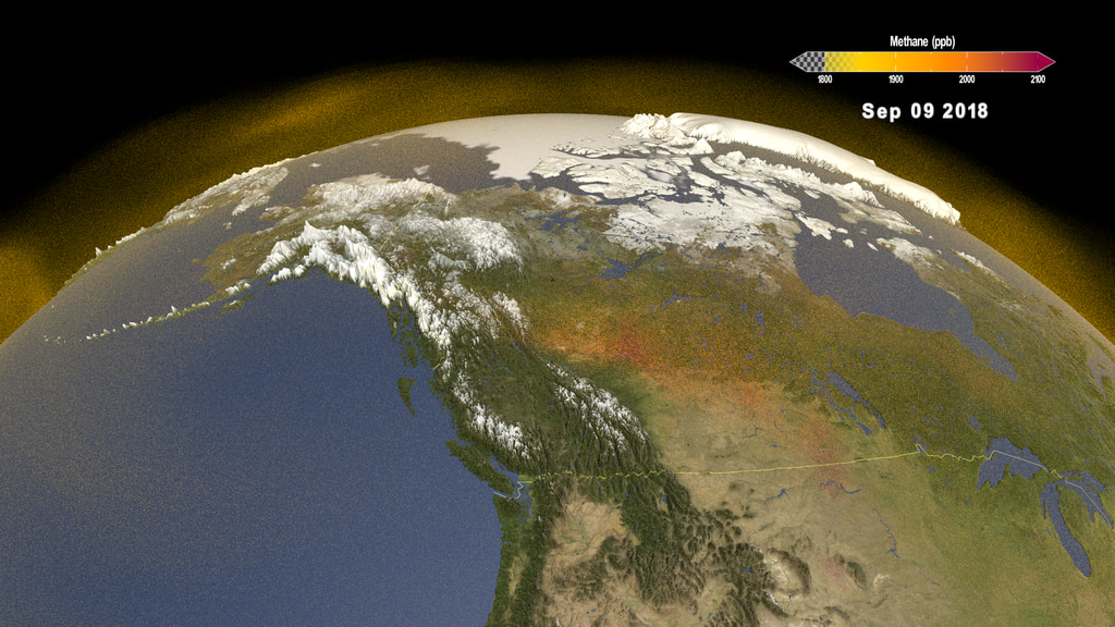
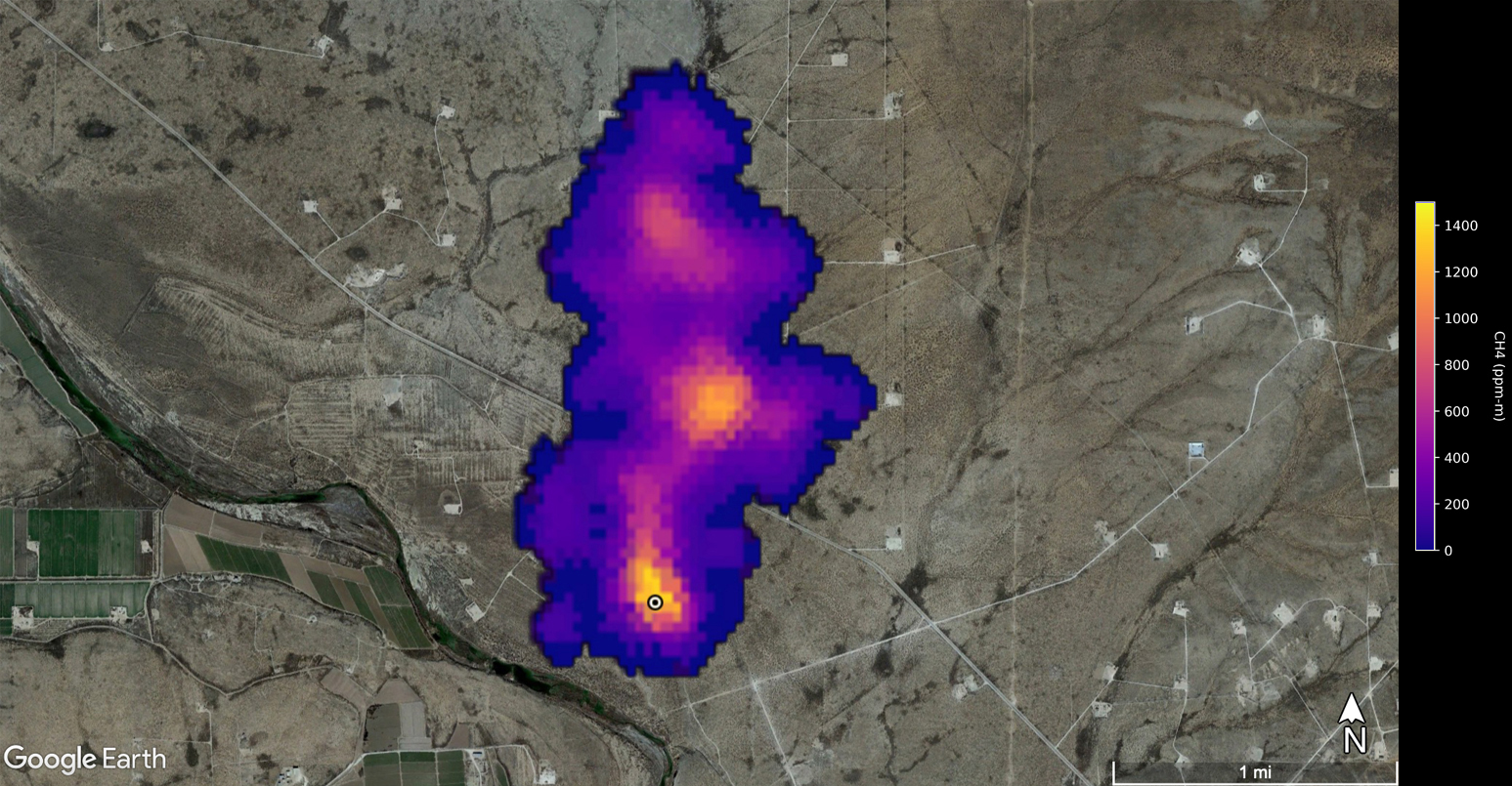
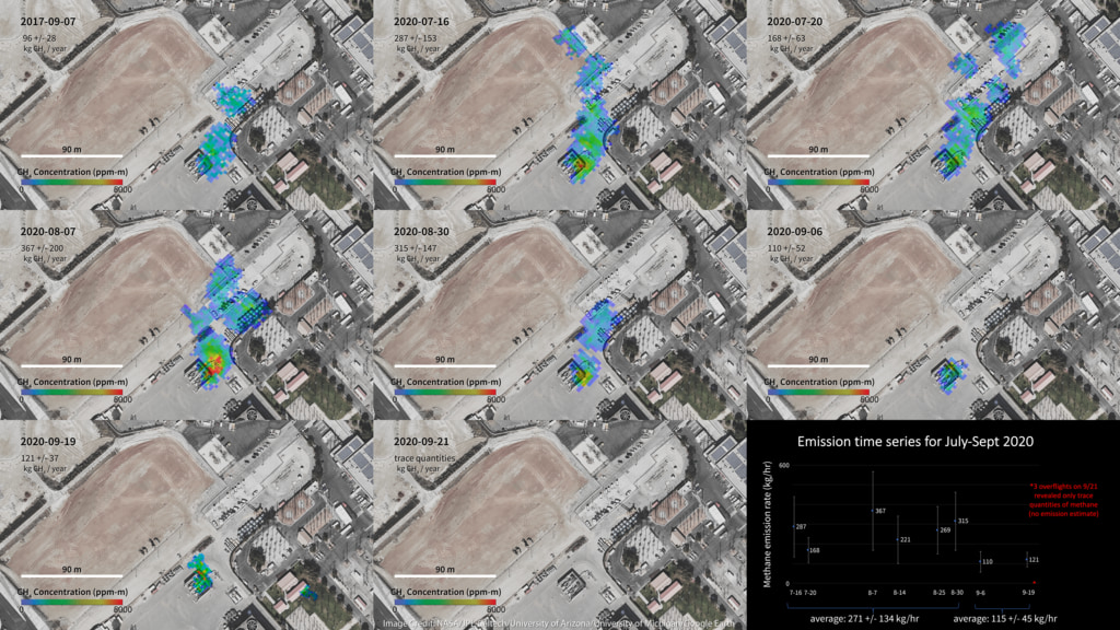
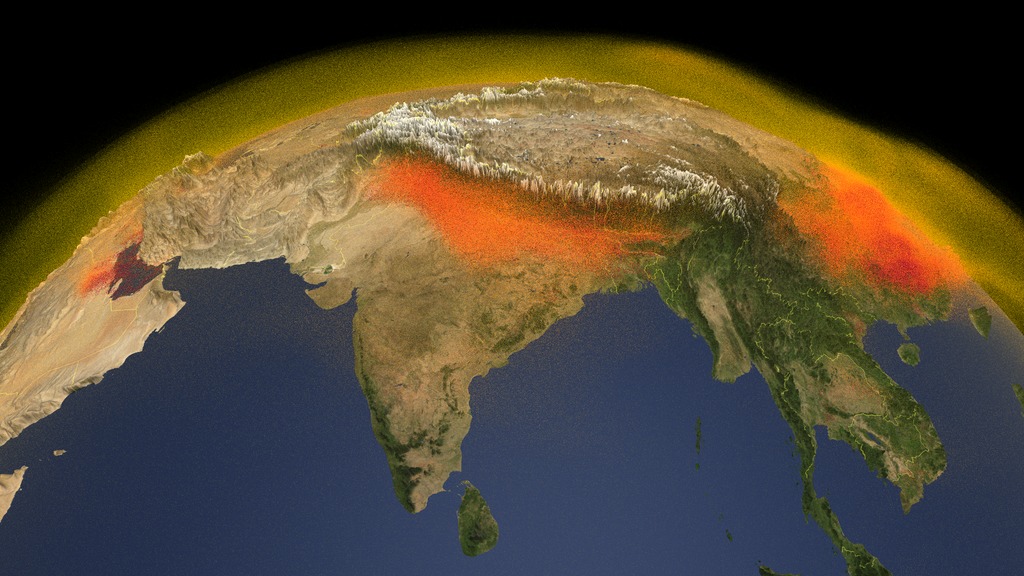
Animation that shows the data collection path of the EMIT instrument onboard the ISS. EMIT has a 75 kilometer swath width - which is relatively narrow, but you can see in this data visualization how it can get full global coverage over time. The violet dots are methane emission sources.
The Earth surface Mineral dust source InvesTigation (EMIT) mission is a sensor onboard the International Space Station (ISS). It not only maps key minerals over deserts, but can also detect methane emissions - a potential greenhouse gas. This data visualization shows how the data is collected.
Data used for this visualization can be found at VISIONS: The EMIT Open Data Portal.
Credits
Please give credit for this item to:
NASA's Scientific Visualization Studio
-
Data visualizers
-
Alex Kekesi
(Global Science and Technology, Inc.)
-
Greg Shirah
(NASA/GSFC)
-
Kel Elkins
(USRA)
-
Ernie Wright
(USRA)
-
Alex Kekesi
(Global Science and Technology, Inc.)
-
Scientists
- Andrew Thorpe (NASA/JPL, California Institute of Technology)
- Dana Chadwick (NASA/JPL)
-
Lesley Ott
(NASA/GSFC)
-
Technical support
- Laurence Schuler (ADNET Systems, Inc.)
- Ian Jones (ADNET Systems, Inc.)
Datasets used
-
VISIONS: The EMIT Open Data Portal [International Space Station (ISS): Earth Surface Mineral Dust Source Investigation (EMIT)]
ID: 1210The Earth Surface Mineral Dust Source Investigation (EMIT) instrument measures surface mineralogy, targeting the Earth’s arid dust source regions. EMIT is installed on the International Space Station (ISS) and uses imaging spectroscopy to take measurements of the sunlit regions of interest between 52° N latitude and 52° S latitude.
Credit: Jet Propulsion Laboratory, California Institute of Technology
This dataset can be found at: https://earth.jpl.nasa.gov/emit/data/data-portal/Greenhouse-Gases/
See all pages that use this dataset
Note: While we identify the data sets used on this page, we do not store any further details, nor the data sets themselves on our site.
Release date
This page was originally published on Tuesday, December 10, 2024.
This page was last updated on Sunday, January 5, 2025 at 12:16 AM EST.
