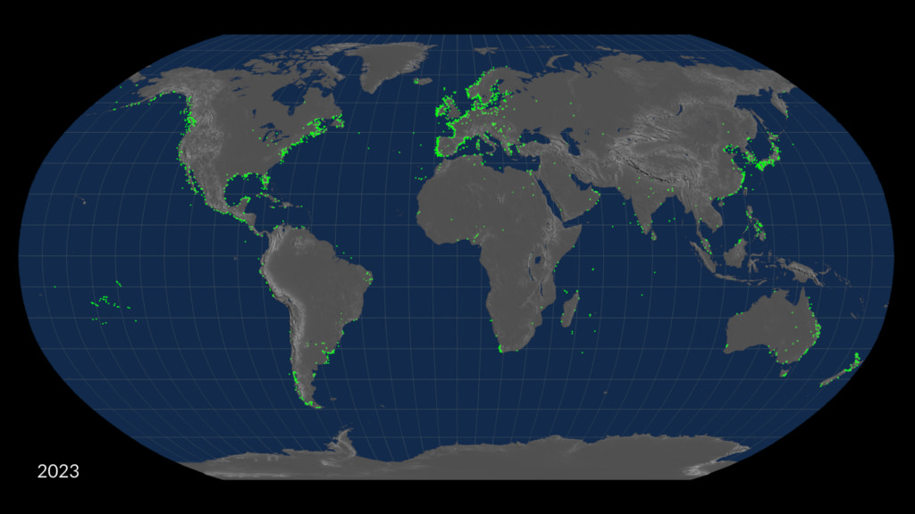
50 Years of Harmful Algal Blooms: Rotating Globe Unwraps to Robinson Projection
This data visualization shows 50 years of algal blooms collected across a spinning globe. Once all the data is accumulated, the globe then unwraps into a Robinson projection so the viewer can see the entire global dataset.
Mass fish deaths have ridden our planet's beaches and coastlines. New health risks have taken over coastal communities and millions of fishery-based employees are out of work. To bring light to the issue and show how new technology may revolutionize data we collect the current best data available to show the scope of the problem. As our global climate continues to change, more nutrients enter our water sources, coastal waters get warmer, algal blooms will continue to flourish in this ideal environment.
In January 2024, NASA is scheduled to launch the PACE satellite which is designed to improve and increase the data we have collected surrounding harmful algal blooms.
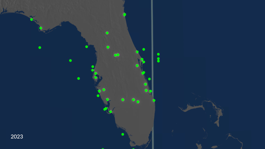
This data visualization depicts the scope of the data we currently have collected over the past 50 years. Much of it is taken from ships at sea and inland water ways. From this we can see that this is a global issue and learning more about this problem will greatly further our understanding of the issue at hand.
Credits
Please give credit for this item to:
NASA's Scientific Visualization Studio
-
Data visualizers
-
Alex Kekesi
(Global Science and Technology, Inc.)

-
Greg Shirah
(NASA/GSFC)
-
Kel Elkins
(USRA)
-
AJ Christensen
(SSAI)
-
Cindy Starr
(Global Science and Technology, Inc.)
-
Alex Kekesi
(Global Science and Technology, Inc.)
-
Scientists
- Ivona Cetinic (Morgan State University)
- Bridget Seegers (Morgan State University)
-
Producers
- Emme Watkins (eMITS)
- Lauren Ward (eMITS)
- Ryan Fitzgibbons (eMITS)
-
Technical support
- Laurence Schuler (ADNET Systems, Inc.)
- Ian Jones (ADNET Systems, Inc.)
Datasets used
-
Harmful Algal Event DATabase (HAEDAT) [Database]
ID: 1199The Harmful Algal Event Database (HAEDAT) is a component of the Harmful Algal Information system (HAIS) within the "International Oceanographic Data and Information Exchange" (IODE) of the "Intergovernmental Oceanographic Commission" (IOC) of UNESCO, and in cooperation with ICES, and PICES.
Credit: UNESCO/Intergovernmental Oceanographic Commission (IOC)
This dataset can be found at: http://haedat.iode.org
See all pages that use this dataset
Note: While we identify the data sets used on this page, we do not store any further details, nor the data sets themselves on our site.
Alternate Versions
- ID: 5182
 Visualization
 - ID: 5183
 Visualization
Release date
This page was originally published on Friday, February 2, 2024.
This page was last updated on Sunday, January 5, 2025 at 12:16 AM EST.