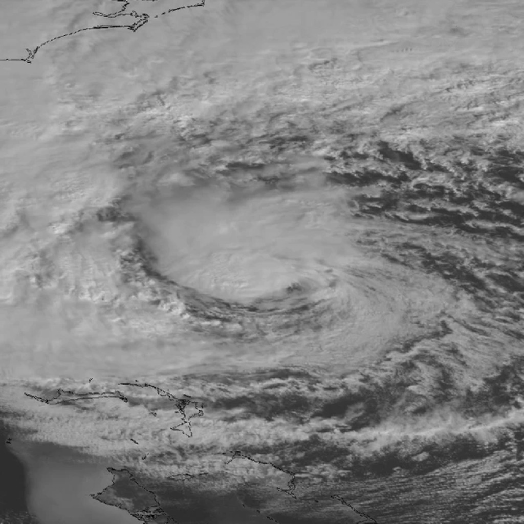
Hurricane Sandy
Surface and near-surface (850 hPa) wind speeds from the NASA Goddard Earth Observing System Model (GEOS-5) operational assimilation system (consisting of a 50-kilometer analysis coupled with a 25-kilometer model) beginning September 1, 2012 preceding a 7-kilometer global simulation with the GEOS-5 atmospheric model initialized at 09Z on October 26, 2012 reveal the massive size of Hurricane Sandy versus the other storms for this period, including the persistent Hurricane Nadine, as well as hurricanes Michael and Rafael. The 7-kilometer simulation depicts the strong onshore winds in New York and New Jersey even after landfall and the dramatic influence of the land surface slowing down Sandy's inland surface winds.
Surface wind speeds range from blue (10 miles per hour) to purple (80 miles per hour).

Legend for surface winds animation.
Near-surface (850 hPa) wind speeds range from dark blue (10 miles per hour) to light purple (100 miles per hour).
Legend for near-surface (850mb) winds animation.
This simulation runs from Oct. 26 to Oct. 31, 2012, highlighting Hurricane Sandy's near-surface (850 hPa) winds.
Sea level pressure, wind speeds, and accumulated rainfall from a GEOS-5 28-km simulation versus National Hurricane Center (NHC) observations.
Sea level pressure, wind speeds, and accumulated rainfall from a GEOS-5 7-km simulation versus National Hurricane Center (NHC) observations.
Accumulated rainfall from the Tropical Rainfall Measuring Mission (TRMM) satellite, a GEOS-5 7-km simulation, and a GEOS-5 28-km simulation.
For More Information
Credits
Please give credit for this item to:
NASA/Goddard Space Flight Center
-
Animator
- William Putman (NASA/GSFC)
-
Scientist
- William Putman (NASA/GSFC)
-
Project support
- Eric Sokolowsky (Global Science and Technology, Inc.)
Series
This page can be found in the following series:Related
- ID: 10083
 Produced Video
 - ID: 11663

- ID: 11269
 Produced Video
Used as a Source In
- ID: 12447
![LEAD: [Today, 12/15/2016] NASA launched eight small satellites to help hurricane forecasters give advanced warnings of hurricane strength.1. The group of small satellites, with 5-foot solar panels, will fly 300 miles above the Earth in a string 12 minutes apart.2. Because the system detects the relatively long wavelength of reflected signals from existing GPS satellites, it can measure surface winds underneath the torrential hurricane rains.TAG: Hurricane scientists expect the critical wind data will help them better forecast the intensification of hurricanes.](/vis/a010000/a012400/a012447/WC_PRORES_422-12447_cygnssonair_prores.00328_print.jpg)
Release date
This page was originally published on Friday, March 8, 2013.
This page was last updated on Monday, January 6, 2025 at 1:51 AM EST.