NASA FireSense (Fort Stewart-Hunter Army Airfield, Georgia)
On April 14th-20th, 2025, NASA’s FireSense project led a multi-agency prescribed burn research operation at Fort Stewart-Hunter Army Field, Georgia, in partnership with the U.S. Department of War (DoW). The DoW led the prescribed burn activities, while NASA FireSense coordinated field and airborne sampling with academic and agency partners, including the DoW Strategic Environmental Research and Development Program (SERDP) and DoW Environmental Security Technology Certification Program (ESTCP). The campaign targeted vegetation, fire, and smoke measurements, and aims to enhance understanding of fire behavior and smoke dynamics in order to provide actionable information to practitioners.
NASA FireSense Website
Selected BROLL of the aircraft used during the NASA FireSense April 14th-20th,2025 research operation at Fort Stewart-Hunter Army Airfield.
Dynamic Aviation King Air B200
Onboard mission AVIRIS-3 IR spectrometer. AVIRIS-3 identified, meaured and monitored fire characteristics to explore the relationship between fuel sources and areas burned. This aircraft was flying pre, post and during the ignition operations.
NASA Armstrong Flight Research Center King Air B200
Onboard mission MASTER IR scanning spectrometer and FireTIRS IR uncooled LWIR sensor. MASTER measured the fire's radiative power and other fire-related properties. FireTIRS derived critical thermal and gas flux rates in 3D to better understand fire dynamics. This aircraft was flying during the ignition operations.
Trident Sensing Piper Twin Comanche
Onboard mission TACFI-RS is a unstabilized panoramic fire mapping sensorutilizing uncooled multiple LWIR cameras for automatic, geo-referenced image processing. The system automatically generates fire maps on an overlay 3D terrain map. This aircraft was flying furing the ignition operations.
Selected BROLL of Trident Sensing Piper Twin Comanche Aircraft's GoPro
Onboard mission TACFI-RS is an unstabilized panoramic fire mapping sensor utilizing uncooled multiple LWIR cameras for automatic, geo-referenced image processing. The system automatically generates fire maps on an overlay 3D terrain map. This aircraft was flying during the ignition operations.
Attribution Credit: Trident Sensing Inc.
Selected BROLL of the Northwest Florida Beaches International Airport - Southern Sky Aviation (Panama City, FL) briefing room.
Selected BROLL of the morning briefings during the NASA FireSense April 14th-20th, 2025 research operation at Fort Stewart-Hunter Army Airfield.
Selected BROLL of fire at during the NASA FireSense April 14th-20th, 2025 research operation at Fort Stewart-Hunter Army Airfield.
Selected BROLL of the smoke plume during the NASA FireSense April 14th-20th, 2025 research operation at Fort Stewart-Hunter Army Airfield.
Selected BROLL of the Ignition helicopter during the NASA FireSense April 14th-20th, 2025 research operation at Fort Stewart-Hunter Army Airfield.
Selected BROLL of GoPros on the Ignition helicopter during the NASA FireSense April 14th-20th, 2025 research operation at Fort Stewart-Hunter Army Airfield.
Selected BROLL of AVIRIS-3 downlinked in the field during the NASA FireSense April 14th-20th, 2025 research operation at Fort Stewart-Hunter Army Airfield.
Selected BROLL of field crews during the NASA FireSense April 14th-20th, 2025 research operation at Fort Stewart-Hunter Army Airfield.
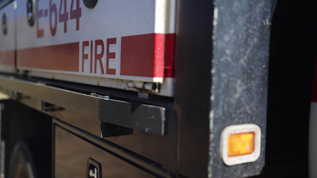
Selected BROLL of vehicles used during the NASA FireSense April 14th-20th, 2025 research operation at Fort Stewart-Hunter Army Airfield.
Selected BROLL of the GoPro mounted on the Teratorch truck during the NASA FireSense April 14th-20th, 2025 research operation at Fort Stewart-Hunter Army Airfield.
Selected BROLL of Fort Stewart campus during the NASA FireSense April 14th-20th, 2025 research operation at Fort Stewart-Hunter Army Airfield.
Selected BROLL of personnel at the NASA FireSense April 14th-20th, 2025 research operation at Fort Stewart-Hunter Army Airfield.
Selected BROLL of vegetation and regrowth in burn units during the NASA FireSense April 14th-20th, 2025 research operation at Fort Stewart-Hunter Army Airfield.
Credits
Please give credit for this item to:
NASA's Goddard Space Flight Center
-
Producer
- Grace Weikert (eMITS)
-
Communications lead
- Milan Loiacono (NASA/ARC)
-
Project coordinator
- Harrison Raine (ARC-SG/Bay Area Environmental Research Institute (BAER))
-
Support
- Katie Jepson (eMITS)
-
Project scientist
- Jacquelyn Shuman (NASA Ames)
-
Videographers
- Grace Weikert (eMITS)
- Steve Pollard (Trident Sensing Inc.)
-
Video editor
- Grace Weikert (eMITS)
-
Photographer
- Milan Loiacono (NASA/ARC)
Related
- ID: 14894
 Produced Video
 - ID: 14559
Release date
This page was originally published on Wednesday, May 14, 2025.
This page was last updated on Tuesday, June 3, 2025 at 3:49 AM EDT.