Scientists in the Field
Video compiliations of NASA scientists and partners working in the field. Available to download.
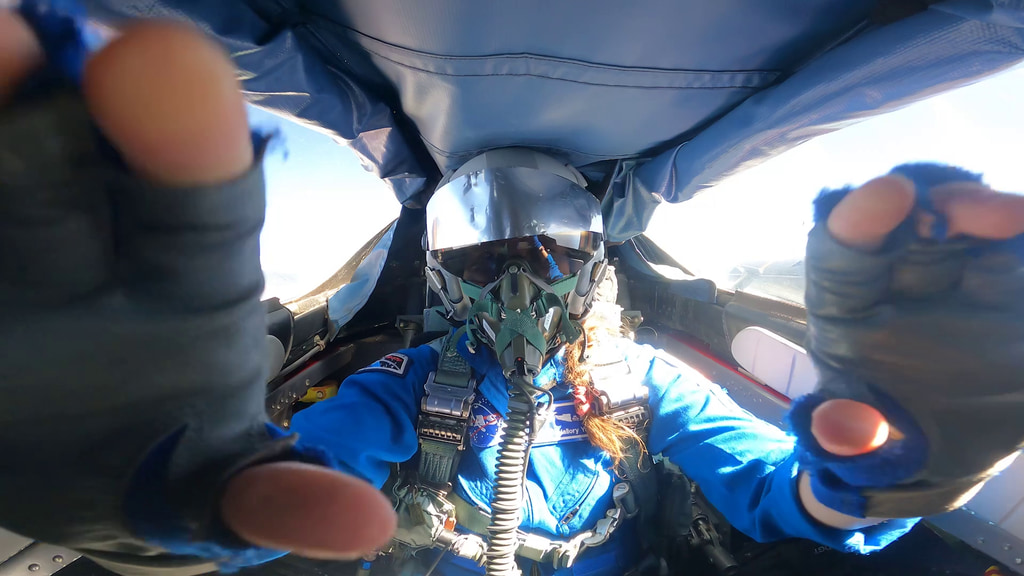
Researchers in volcanic regions. Footage from GIFT in Hawaii.
Researchers in volcanic regions. Footage from GIFT in Hawaii.
Ocean researchers.
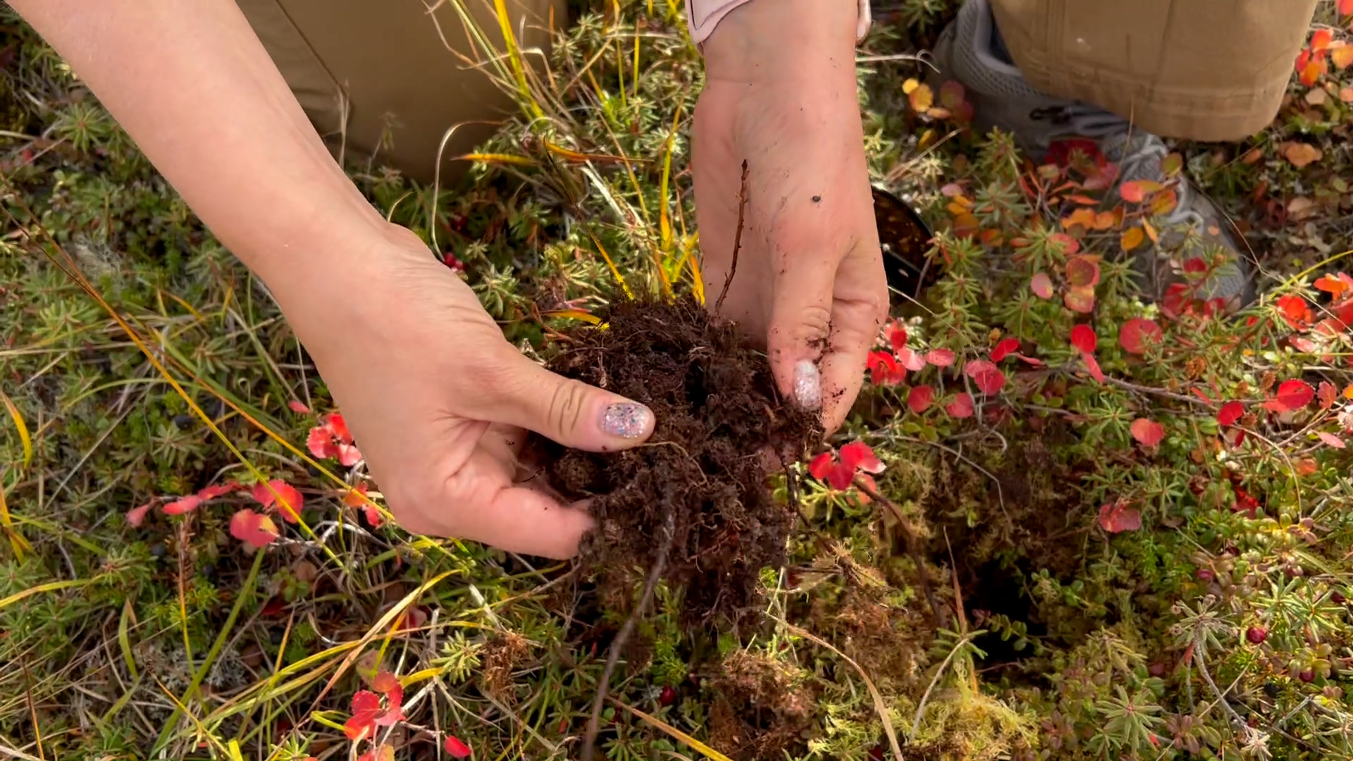
Planetary researchers in arid regions. Footage from GIFT in Hawaii, Desert RATS in Arizona
Planetary science researchers in caves. Footage from GIFT campaign in Mauna Loa, Hawaii.
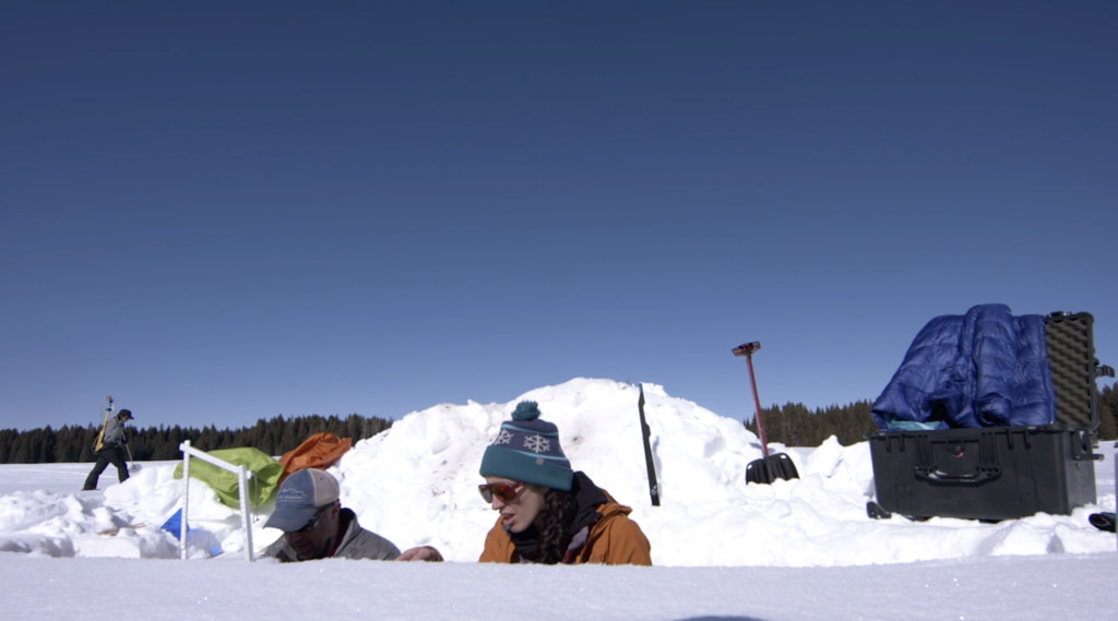
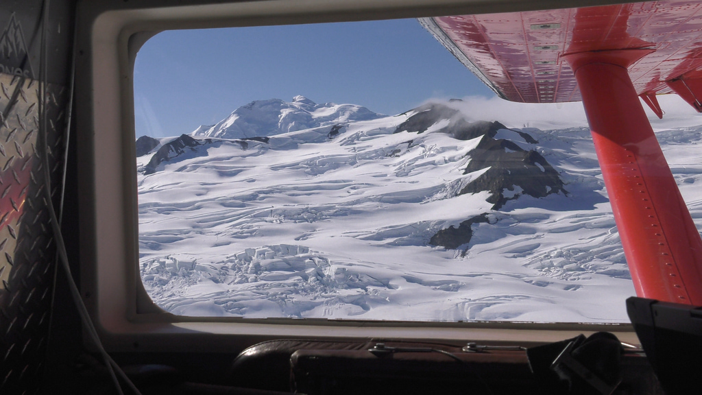
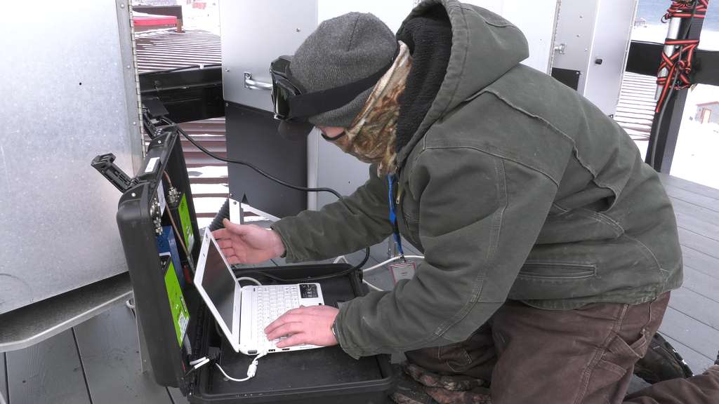
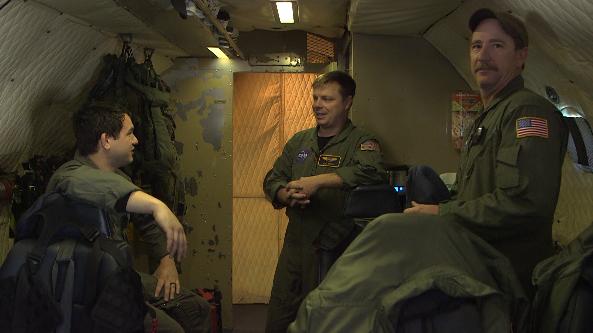
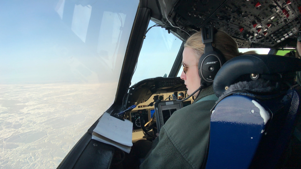
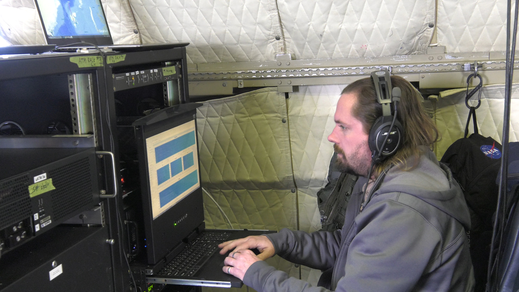
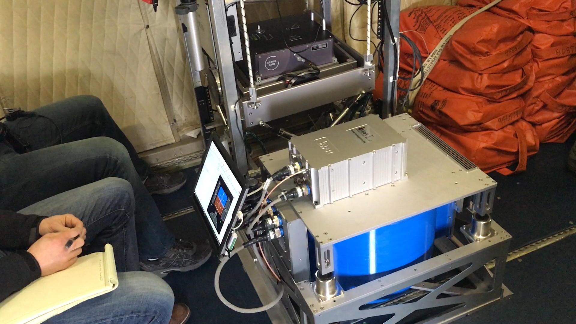
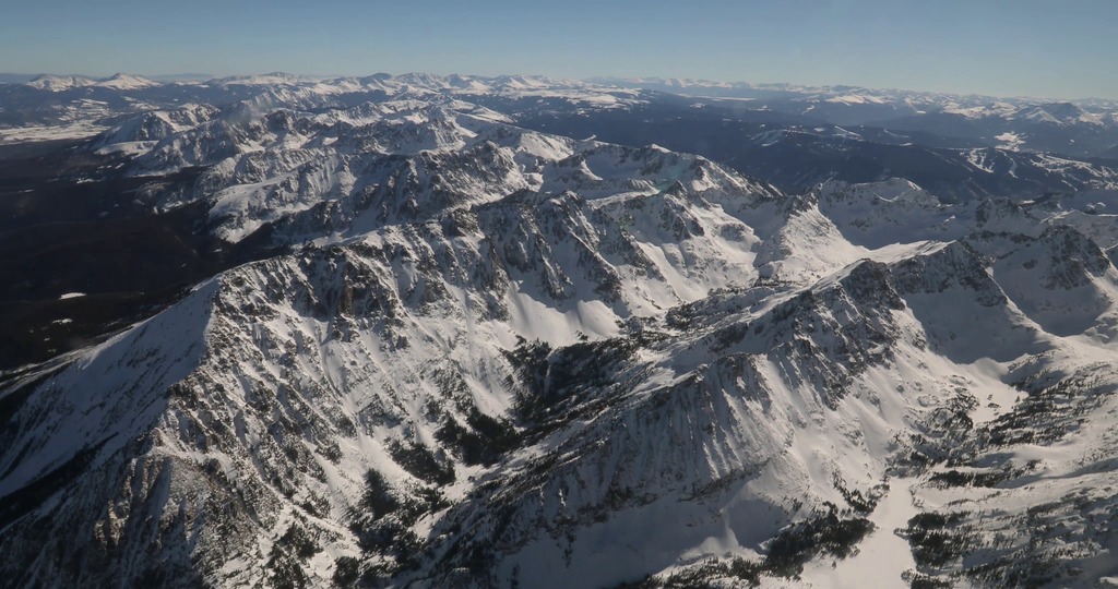
Researchers in snowy regions. Footage from GRIPS balloon launch in Antarctica (provided by Hazel Bain); SnowEx in Colorado.
Research in forested regions. Footage from FIREX-AQ campaign, archival footage, OLYMPEx campaign in Washington State.
Researchers in snowy regions. Footage from SnowEx campaign in Montana and Colorado; GCPEx in Canada.
Credits
Please give credit for this item to:
NASA's Goddard Space Flight Center
-
Producer
- Emily S Watkins (Intern)
-
Editor
- Emily S Watkins (Intern)
-
Project support
- Ryan Fitzgibbons (KBR Wyle Services, LLC)
Related
- ID: 14723

- ID: 14686

- ID: 14562
 Produced Video
 - ID: 14559
- ID: 14429
![NASA's Scientific Balloon Program OverviewComplete transcript available.Music Credit: “Enviro Tense” by Max Van Thun [GEMA] via Universal Production Music](/vis/a010000/a014400/a014429/14429_Balloon_Program_thumbnail.jpg) Produced Video
Produced Video - ID: 14430
![Watch this video on the NASA Goddard YouTube channel.Complete transcript available.Music credit: "Synthesis" by Andy Blythe [PRS] and Marten Joustra [PRS] from Universal Production Music.](/vis/a010000/a014400/a014430/Thumbnail_01.jpg) Produced Video
Produced Video - ID: 14222
 B-Roll
 - ID: 13610
 Produced Video
 - ID: 13519
![Complete transcript available.This video can be freely shared and downloaded. While the video in its entirety can be shared without permission, some individual imagery provided by pond5.com and Artbeats is obtained through permission and may not be excised or remixed in other products. Specific details on stock footage may be found here. For more information on NASA’s media guidelines, visit https://www.nasa.gov/multimedia/guidelines/index.html.Music: "Snowfall" by Andy Blythe [PRS], Marten Joustra [PRS], "Snow Blanket" by Benjamin James Parsons [PRS]](/vis/a010000/a013500/a013519/IMPACTS_Image.jpg)
- ID: 13490
 Produced Video
 - ID: 13436
 Produced Video
 - ID: 13437
 Produced Video
 - ID: 13447
 Produced Video
 - ID: 13454
 Produced Video
 - ID: 13463
 Produced Video
 - ID: 13465
 Produced Video
 - ID: 13445
 Produced Video
 - ID: 13206
 Produced Video
 - ID: 12905
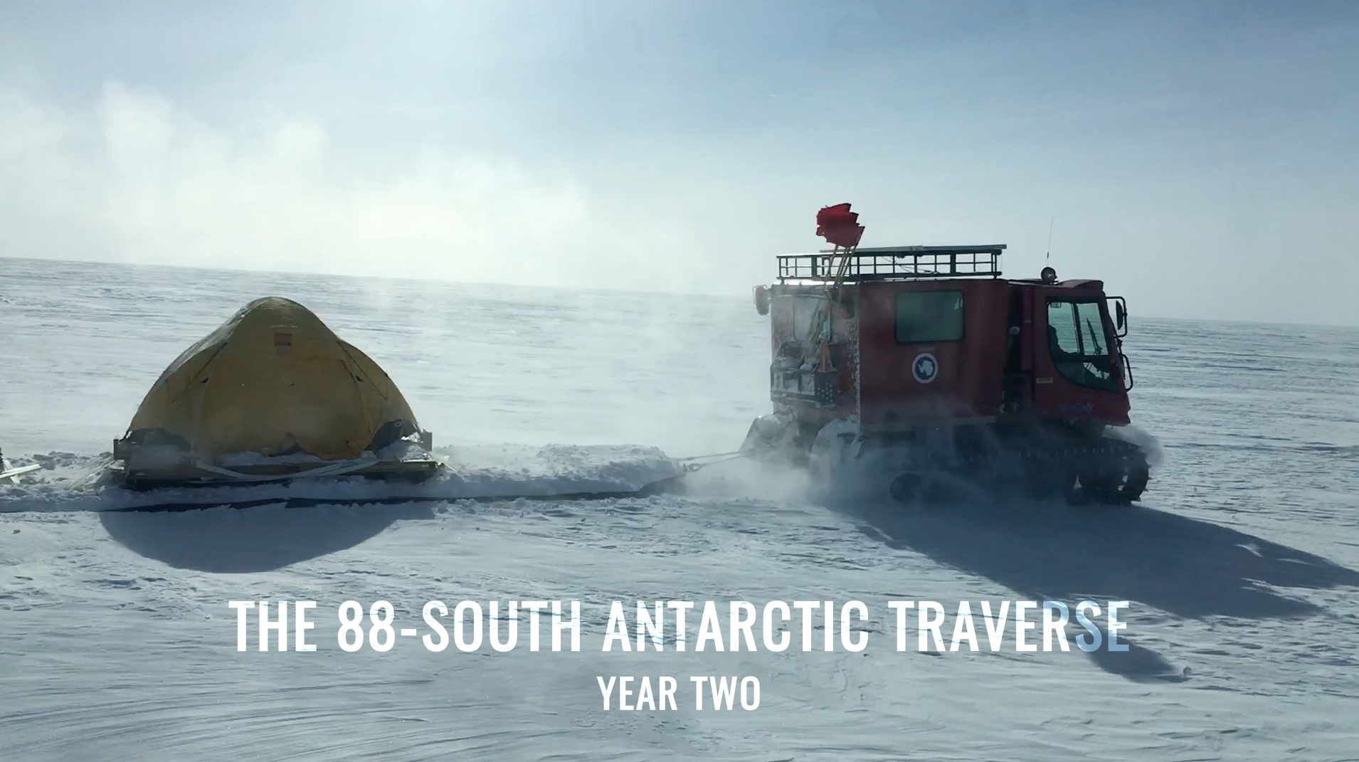
![NASA cryospheric scientist Kelly Brunt and ICESat-2 Deputy Project Scientist Tom Neumann recall some of the highlights and challenges from the recent 88-South Antarctic Traverse.Music: "Lights," Alexius Tschallener [SUISA], Dominik Johnson [PRS]; "Vulnerable Moment," John Ashton Thomas [PRS]Complete transcript available.](/vis/a010000/a012900/a012905/12905_thumbstill_print.jpg) Produced Video
Produced Video - ID: 12496
Release date
This page was originally published on Monday, August 8, 2022.
This page was last updated on Wednesday, May 3, 2023 at 11:44 AM EDT.