A Slice of Ice

Explore the first data results from the ICESat-2 satellite.
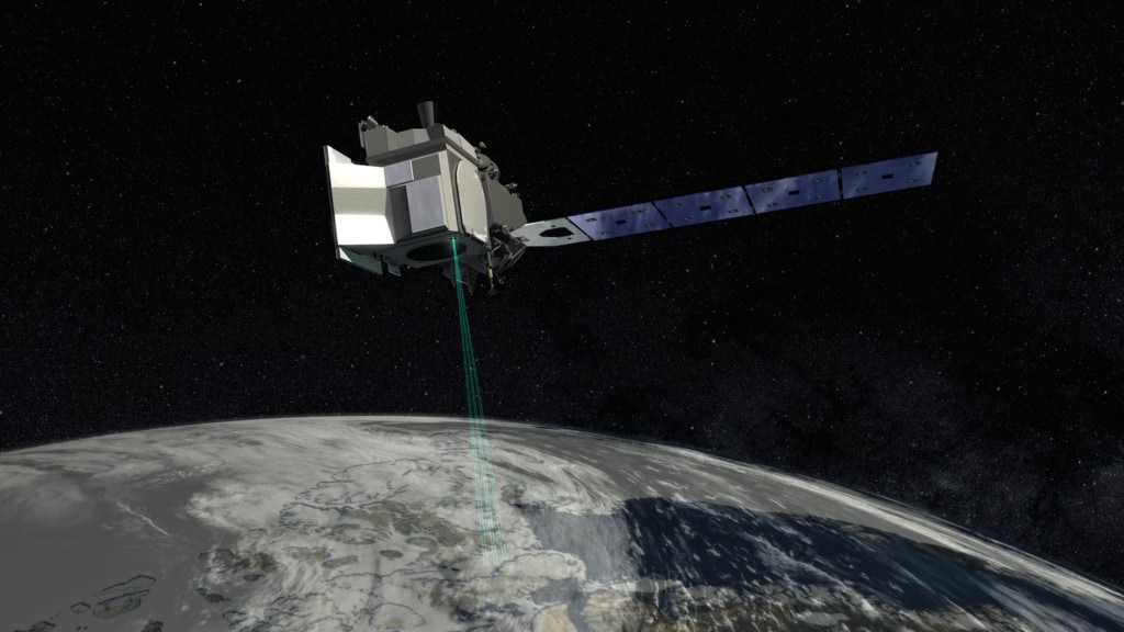
NASA’s Ice, Cloud and land Elevation Satellite-2, or ICESat-2, launched in September, 2018, and is already exceeding scientists’ expectations. The satellite uses laser beams to measure the height of sea ice to within an inch, tracing the terrain of previously unmapped Antarctic valleys, surveying remote ice sheets, and peering through forest canopies and shallow coastal waters. Researchers are ready to use the information to study sea level rise resulting from melting ice sheets and glaciers, and to improve sea ice and climate forecasts. The first months of ICESat-2 data collected over Arctic and Antarctic sea ice reveal thin ice, thick ice, and features such as ice ridges. Areas of open water in the cracks between the ice floes, called leads, stand out in the data because of the difference in reflectivity between ice and water. By comparing the height of that water surface in the leads with the height of the ice, scientists estimate the ice's height above the water and thickness. With the high precision of ICESat-2, researchers will have an unprecedented understanding of the thickness of sea ice, which will be used to help improve climate modeling and forecasts. Explore the images to see scientists' newest views of Earth's height.
ICESat-2 captured Antarctica's flat Ross Ice Shelf and steep Queen Maud Mountains - some of which had never been previously measured.
Over Antarctica's Weddell Sea, sea ice of different thickness and bumpiness is broken up by the cracks between floes, called leads.
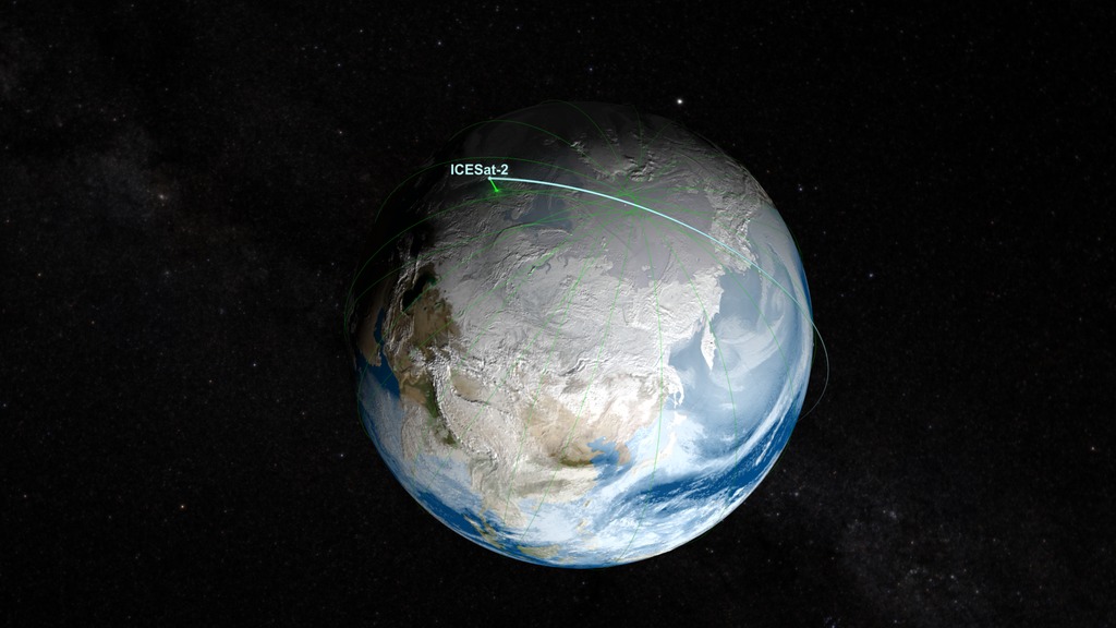
ICESat-2 is on all the time. Over Mexico, it measured tree heights, forest floor, plus the bathymetry of a lagoon and the ocean waves.
ICESat-2 uses a fast-firing laser to measure the height of Earth's surface.
For More Information
See NASA.gov
Credits
Please give credit for this item to:
NASA's Scientific Visualization Studio.
Profiles of ice Sheets, sea Ice and forests courtesy of NASA's Earth Observatory/Joshua Stevens.
-
Writer
- Kate Ramsayer (Telophase)
-
Animator
- Joshua Stevens (SSAI)
Sources
- ID: 12984
 Produced Video
 - ID: 4373
 Visualization
Release date
This page was originally published on Monday, March 4, 2019.
This page was last updated on Monday, July 15, 2024 at 12:12 AM EDT.