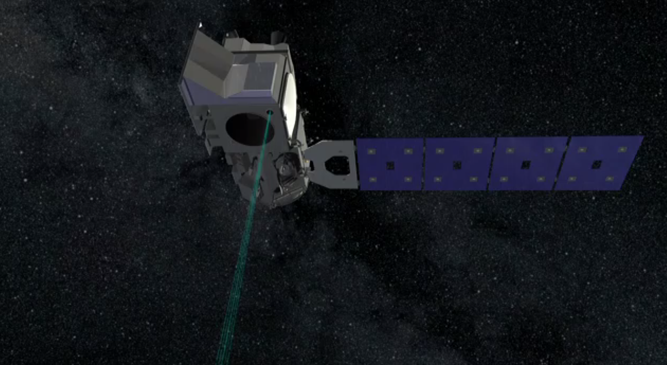
ICESat-2 Measures Sea Ice Thickness
Animation showing how ICESat-2 will measure the height of sea ice freeboard (hf) – the portion of sea ice floating above the water – to estimate sea ice thickness (hi).
ICESat-2 will measure heights or elevations. In order to derive sea ice thickness from those measurements, it will compare the height of the ice with the height of the adjacent open water. The difference is height is the portion of the ice that is above the sea level, called freeboard. Because roughly 1/10 of the ice floe is above water we can calculate its thickness. Very often the only open water nearby is from cracks in the ice (leads) that open and close quickly as the ice drifts about in the polar oceans pushed by ocean currents and winds.
Credits
Please give credit for this item to:
NASA's Goddard Space Flight Center
-
Producer
- Ryan Fitzgibbons (USRA)
-
Animator
- Adriana Manrique Gutierrez (USRA)
-
Scientists
- Thorsten Markus (NASA/GSFC)
- Thomas A. Neumann (NASA/GSFC)
- Nathan T. Kurtz (NASA/GSFC)
Related
- ID: 13300
 Produced Video
 - ID: 13045
 Produced Video
Used as a Source In
- ID: 14261
 Produced Video
Release date
This page was originally published on Wednesday, August 22, 2018.
This page was last updated on Wednesday, May 3, 2023 at 1:46 PM EDT.