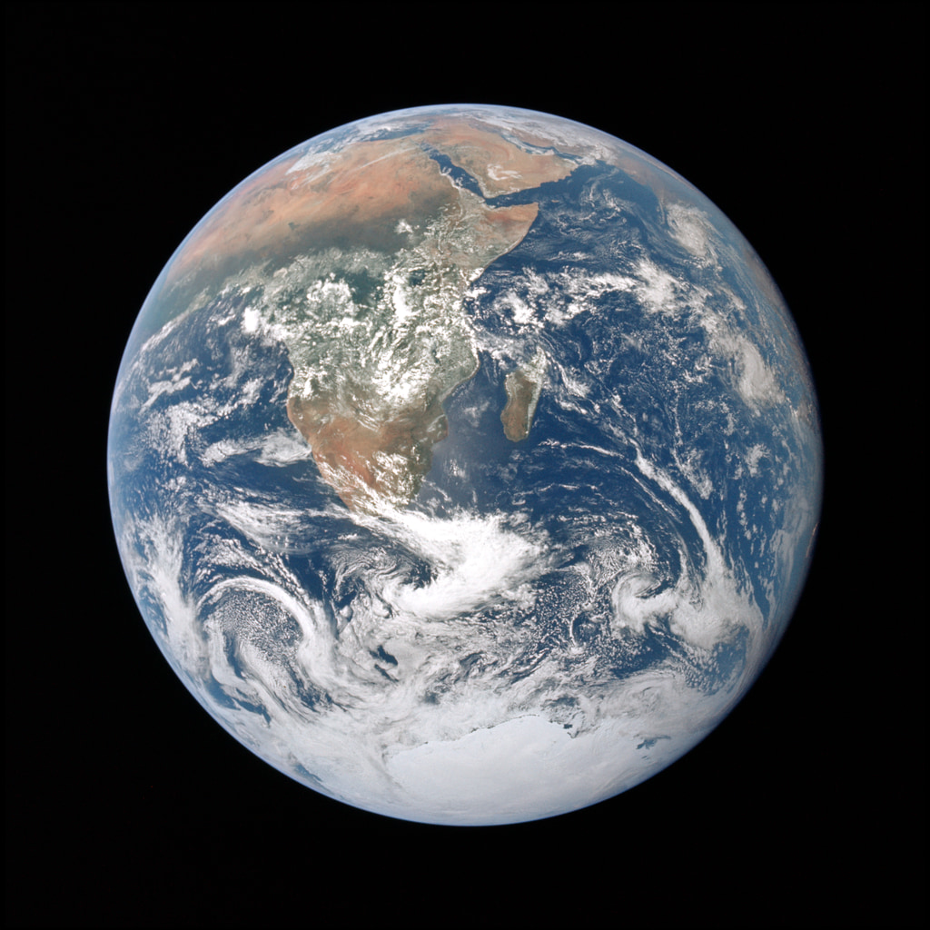
Blue Marble Next Generation
Blue Marble: Next Generation is a years worth of monthly composites at a spatial resolution of 500 meters. These monthly images, from january through December, reveal seasonal changes to the land surface: the green-up and dying-back of vegetation in temperate regions such as North America and Europe, dry and wet seasons in the tropics, and advancing and retreating Northern Hemisphere snow cover.
Blue Marble: Next Generation is a years worth of monthly composites at a spatial resolution of 500 meters. These monthly images, from January through December, reveal seasonal changes to the land surface: the green-up and dying-back of vegetation in temperate regions such as North America and Europe, dry and wet seasons in the tropics, and advancing and retreating Northern Hemisphere snow cover.
The data are from 2004, from the Moderate Resolution Imaging Spectroradiometer (MODIS) instrument on NASA’s Terra satellite.
For more information, visit the Blue Marble on the Earth Observatory.
Credits
Please give credit for this item to:
NASA's Goddard Space Flight Center
The Blue Marble data is courtesy of Reto Stockli (NASA/GSFC).
-
Animators
- Matthew R. Radcliff (USRA)
- Reto Stockli (NASA/GSFC)
-
Producer
- Matthew R. Radcliff (USRA)
Release date
This page was originally published on Monday, April 3, 2017.
This page was last updated on Wednesday, May 3, 2023 at 1:47 PM EDT.
Missions
This page is related to the following missions:Series
This page can be found in the following series:Related papers
https://visibleearth.nasa.gov/view_cat.php?categoryID=1484
https://visibleearth.nasa.gov/view_cat.php?categoryID=1484
