Atmospheric Rivers

Can jets of moisture in Earth's atmosphere help cure California's drought?
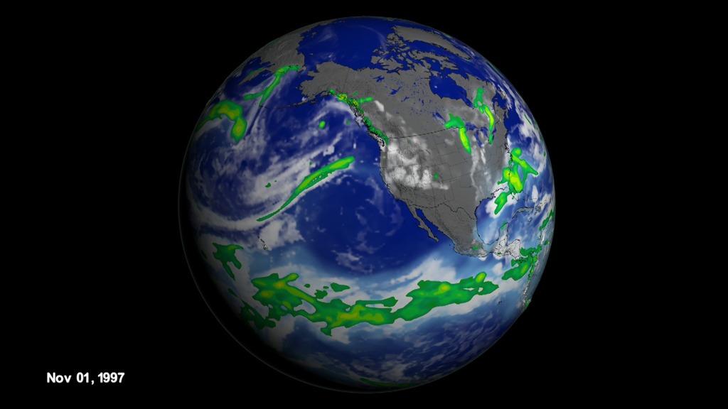
Atmospheric rivers are narrow, concentrated tendrils of moisture that occur all over the world. They can be seen from space by observing the movement of water vapor in the atmosphere. Originating over warm ocean water, they typically travel west to east with the winds. Atmospheric rivers are very important to California as they provide about 40 percent of the state’s annual water supply. As the water vapor travels across the Pacific and hits land, it gets forced up into the atmosphere and cools, producing significant rainfall. NASA studies show during El Niño years, atmospheric rivers that make landfall over California are typically stronger and wetter. Scientists say this year's El Niño event likely will bring more precipitation to California and some relief for the current drought. Watch the video to see a visualization of clouds, water vapor and precipitation during winter 1997-98, the strongest El Niño on record.
In this model simulation, white colors are clouds, light blues water vapor, and green to red precipitation.

An atmospheric river travels across the Pacific toward the West Coast of the United States.

When an atmospheric river hits land, its moisture cools and falls to the surface as rain or snow.

The rain and snowfall produced each year from atmospheric rivers provide California with up to 40 percent of its annual water supply.
Credits
Please give credit for this item to:
NASA's Scientific Visualization Studio
-
Producer
- Kayvon Sharghi (USRA)
-
Animators
- Cheng Zhang (USRA)
- Horace Mitchell (NASA/GSFC)
-
Greg Shirah
(NASA/GSFC)
-
Scientists
- Duane Waliser (NASA/JPL CalTech)
- Bin Guan (NASA/JPL CalTech)
-
Writer
- Ellen T. Gray (ADNET Systems, Inc.)
Release date
This page was originally published on Thursday, December 17, 2015.
This page was last updated on Wednesday, May 3, 2023 at 1:49 PM EDT.
