Lakes On A Glacier
A view of Greenland's ice sheet from the NASA/USGS Landsat 8 satellite, narrated by Dr. Allen Pope. The data enables Dr. Pope to measure the depth of the lakes that form on the surface every summer as the snow and ice melts. The data in this image are from July 12, 2014, and shows the area just south of the Jakobshavn Glacier.
For complete transcript, click here.
Watch this video on the NASA Goddard YouTube channel.
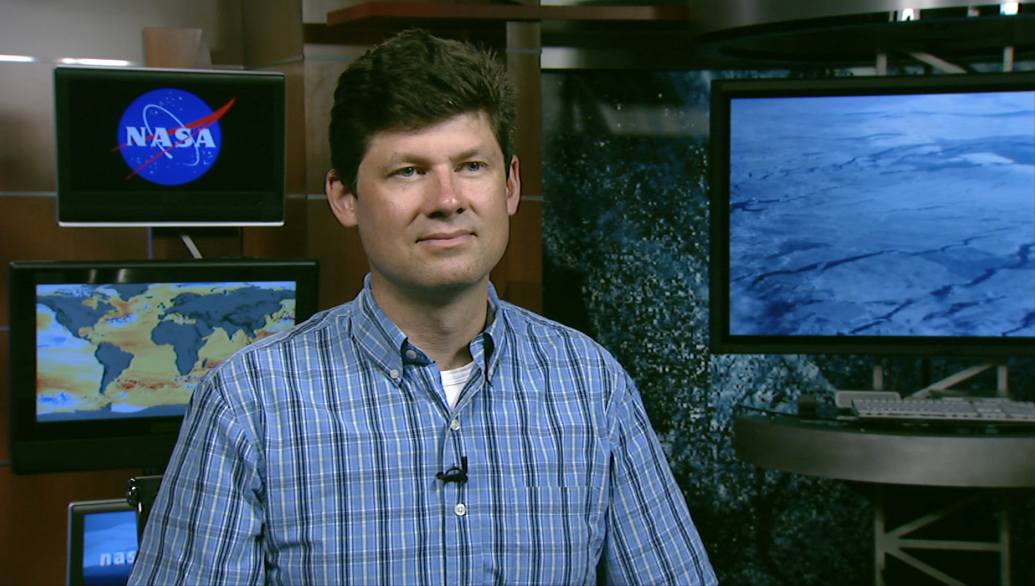
How deep is that icy blue water on Greenland's ice sheet? Dr. Allen Pope, of the National Snow and Ice Data Center, is using data from the NASA/USGS Landsat 8 satellite to find out. In this video, Dr. Pope shares what he sees when he looks at a Landsat image of the Greenland ice sheet just south of the Jakobshavn Glacier.
Because the lakes are darker than the ice around them, they absorb more energy from the sun. A little bit of melt concentrates in one place, and then melts more, establishing a feedback mechanism accelerating the growth of the lake. When the lakes get big enough they can force open fractures that then drill all the way down to the bed of the glacier, transporting this water to the base where it can temporarily speed up the flow of the ice.
Learn more about Dr. Pope's study here: http://earthobservatory.nasa.gov/IOTD/view.php?id=86564
NASA and the U.S. Department of the Interior through the U.S. Geological Survey (USGS) jointly manage the Landsat program, and the USGS preserves a 40-plus-year archive of Landsat images that is freely available over the Internet.
. North is up in this image.")
Image of supraglacial meltwater lakes on Greenland ice sheet, using Landsat 8 data from 12 July 2014. A composite of the red, green, and blue channels (bands 5, 4, and 3). North is up in this image.
Credits
Please give credit for this item to:
NASA's Goddard Space Flight Center
-
Editor
- Matthew R. Radcliff (USRA)
-
Scientists
- Allen Pope (NSIDC)
- James R. Irons (NASA/GSFC)
-
Narrator
- Allen Pope (NSIDC)
-
Producer
- Matthew R. Radcliff (USRA)
Missions
This page is related to the following missions:Series
This page can be found in the following series:Tapes
The media on this page originally appeared on the following tapes:-
Lakes On A Glacier
(ID: 2015056)
Tuesday, August 18, 2015 at 4:00AM
Produced by - Walt Feimer (HTSI)
Related papers
Related
- ID: 11976
 Produced Video
Release date
This page was originally published on Monday, August 17, 2015.
This page was last updated on Wednesday, May 3, 2023 at 1:49 PM EDT.