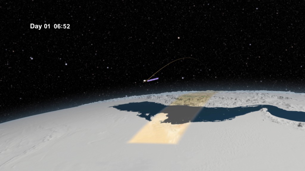
Landsat 40th Liveshot City Images
The following are U.S. cities imaged by Landsat over its 40 year span. Multiple years of selected cities are grouped together with specific years in parentheses.

Atlanta, Georgia

Baltimore, Maryland

Boston, Massachusetts

Chicago, Illinois

Cleveland, Ohio

Dallas, Texas

Denver, Colorado

Detroit, Michigan

Houston, Texas

Los Angeles, California

Miami, Florida

Minneapolis, Minnesota

New York, New York

Orlando, Florida

Philadelphia, Pennsylvania

Phoenix, Arizona

Sacramento, California

San Francisco, California

Seattle, Washington

St. Louis, Missouri

Tampa, Florida

Washington, D.C.
Credits
Please give credit for this item to:
NASA/Goddard Space Flight Center
-
Producer
- Matthew R. Radcliff (USRA)
-
Project support
- Ryan Fitzgibbons (USRA)
Missions
This page is related to the following missions:Tapes
The media on this page originally appeared on the following tapes:-
Landsat 40th Anniversary
(ID: 2012081)
Monday, July 23, 2012 at 4:00AM
Produced by - Walt Feimer (HTSI)
Release date
This page was originally published on Wednesday, July 18, 2012.
This page was last updated on Thursday, October 10, 2024 at 12:16 AM EDT.
