Recreating The Wind
The summer of 1988 saw much of the United States bake in a heat wave that resulted in the worst season of drought since the 1930s. Five years later in 1993, drenching rains in the spring and summer caused historic flooding in Midwest states. A complex combination of weather and climate factors gave rise to these opposing catastrophes. To better understand these events scientists used an integrated record of Earth's weather and climate over the past three decades that combines computer modeling with a broad collection of satellite and meteorological observations. This dataset, called the Modern Era Retrospective-Analysis for Research and Applications (MERRA), allows scientists to pinpoint the unique conditions behind the 1988 drought and 1993 floods. The pattern of air circulation over the middle of the country in 1988 blocked the typical movement of moisture from the Gulf of Mexico northward. Conversely, 1993 saw an extreme intensification of winds pushing rain clouds north from the Gulf of Mexico. In the visualizations below, look for the differences in this recreation of wind patterns over the United States from May 1 to July 31 in 1988 and 1993.

A powerful computing tool allows scientists to compare two extreme seasons in recent American history.
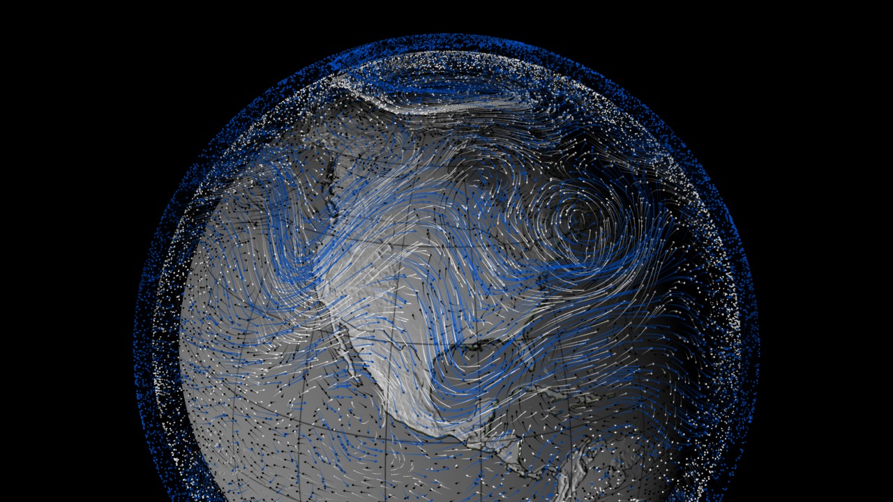
Winds of 1988: Three arrow colors equal three wind heights: blue (30,000 feet), white (18,000 feet) and black (5,000 feet).
Winds of 1993: Watch how the constantly morphing different levels of the wind interact and follow one another.
This snapshot of the winds on June 10, 1988 shows how that summer's circulation kept moist fronts from the Gulf of Mexico at bay.
The pattern seen five years later to the day exemplifies how winds carried moisture north from the Gulf of Mexico.
For More Information
Credits
Please give credit for this item to:
NASA's Goddard Space Flight Center
-
Animators
- Trent L. Schindler (USRA)
-
Greg Shirah
(NASA/GSFC)

- Horace Mitchell (NASA/GSFC)
-
Scientists
- Michael Bosilovich (NASA/GSFC)
- Siegfried D. Schubert (NASA/GSFC)
-
Writer
- Patrick Lynch (Wyle Information Systems)
Related
- ID: 3733
 Visualization
Release date
This page was originally published on Tuesday, November 29, 2011.
This page was last updated on Wednesday, May 3, 2023 at 1:53 PM EDT.