Space Lasers
While most satellites work like digital cameras and passively record a narrow spectrum of emitted or reflected radiation—visible light, in a camera's case—those equipped with lidar (Light Detection And Ranging) instruments use rapidly pulsating laser beams to actively detect specific features. Measurements made with lidar in recent years have provided detailed information about the topography of Earth's surface and characteristics of its atmosphere. ICESat, a NASA laser altimetry mission launched in 2003, monitored the changing elevation of Arctic and Antarctic ice sheets and created 3-D maps of forest canopies throughout the world. Since 2006 NASA's CALIPSO satellite has detected clouds and airborne particles that reflect or absorb heat and help drive global climate. Watch the video below to learn how this advanced technology is used to study the contours of ice, clouds, trees, and even the cratered terrain of the moon.

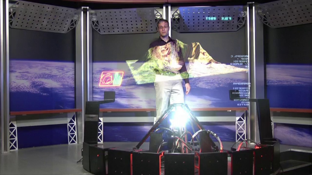
Explore how lasers onboard satellites are used to map our planet and beyond.
NASA's Chris Smith explains how scientists put lasers to work to study Earth and the moon.
Individual laser measurements are combined to create detailed topographical maps of the moon's craters.
Lasers onboard ICESat charted the elevation of Antarctica's vast ice sheets.
Lidars pulse dozens of times per second toward the surface to measure topography or what's in the atmosphere.
Credits
Please give credit for this item to:
NASA's Goddard Space Flight Center
-
Animators
- Chris Smith (HTSI)
- Walt Feimer (HTSI)
-
Video editor
- Chris Smith (HTSI)
-
Producer
- Chris Smith (HTSI)
-
Scientist
- Gregory Neumann (Massachusetts Institute of Technology)
-
Videographer
- Rob Andreoli (Advocates in Manpower Management, Inc.)
-
Writer
- Patrick Lynch (Wyle Information Systems)
Related
- ID: 10757
 Produced Video
Release date
This page was originally published on Thursday, October 13, 2011.
This page was last updated on Monday, January 6, 2025 at 1:15 AM EST.