Katrina Retrospective: 5 Years After the Storm
On August 29, 2005, Hurricane Katrina made landfall along the Gulf Coast. Five years later, NASA revisits the storm with a short video that shows Katrina as captured by satellites. Before and during the hurricane's landfall, NASA provided data gathered from a series of Earth observing satellites to help predict Katrina's path and intensity. In its aftermath, NASA satellites also helped identify areas hardest hit.
For complete transcript, click here.
For More Information
Credits
Please give credit for this item to:
NASA/Goddard Space Flight Center
-
Animators
-
Greg Shirah
(NASA/GSFC)

-
Alex Kekesi
(Global Science and Technology, Inc.)
- Lori Perkins (NASA/GSFC)
-
Greg Shirah
(NASA/GSFC)
-
Video editors
- Jennifer A. Shoemaker (UMBC)
- Rich Melnick (HTSI)
-
Narrator
- Jefferson Beck (UMBC)
-
Producer
- Jennifer A. Shoemaker (UMBC)
-
Writer
- Jennifer A. Shoemaker (UMBC)
Missions
This page is related to the following missions:Series
This page can be found in the following series:Tapes
The media on this page originally appeared on the following tapes:-
NASA Captures the Many Faces of Katrina
(ID: 2010104)
Monday, August 23, 2010 at 4:00AM
Produced by - Terry Cole (NASA)
Datasets used
-
[GOES]
ID: 22 -
[GOES: IR4]
ID: 33 -
[Landsat]
ID: 47 -
[Landsat-5: TM]
ID: 53 -
[Landsat-7]
ID: 54This dataset can be found at: http://landsat.gsfc.nasa.gov/about/wrs.html
See all pages that use this dataset -
[QuikSCAT: SeaWinds]
ID: 85SeaWinds is a scanning dual pencil-beam Ku-band scatterometer.
This dataset can be found at: http://www.mers.byu.edu/Seawinds.html
See all pages that use this dataset -
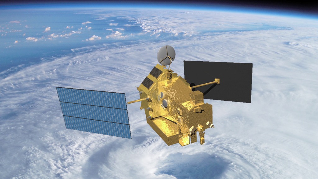
[TRMM: PR]
ID: 109 -
[TRMM: TMI]
ID: 110 -
[TRMM: VIRS]
ID: 111 -
[Terra: MISR]
ID: 115 -
[Terra: MODIS]
ID: 116 -
Sea Surface Temperature [Aqua: AMSR-E]
ID: 238 -
Sea Surface Temperature Anomaly [Aqua: AMSR-E]
ID: 239 -
Blue Marble [Aqua: MODIS]
ID: 252Credit: The Blue Marble data is courtesy of Reto Stockli (NASA/GSFC).
See all pages that use this dataset -
Hurricane/Tropical Data
ID: 282 -
[GOES-8: IR4]
ID: 320 -
Blue Marble [Terra: MODIS]
ID: 492Credit: The Blue Marble data is courtesy of Reto Stockli (NASA/GSFC).
See all pages that use this dataset -
3-hour Rainmap (3B4XRT) [TRMM and DMSP: SSM/I and TMI]
ID: 526This dataset can be found at: http://cics.umd.edu/~msapiano/PEHRPP/3b42rt.html
See all pages that use this dataset
Note: While we identify the data sets used on this page, we do not store any further details, nor the data sets themselves on our site.
Related
- ID: 11902
Release date
This page was originally published on Tuesday, August 24, 2010.
This page was last updated on Wednesday, May 3, 2023 at 1:54 PM EDT.