Earth
ID: 896
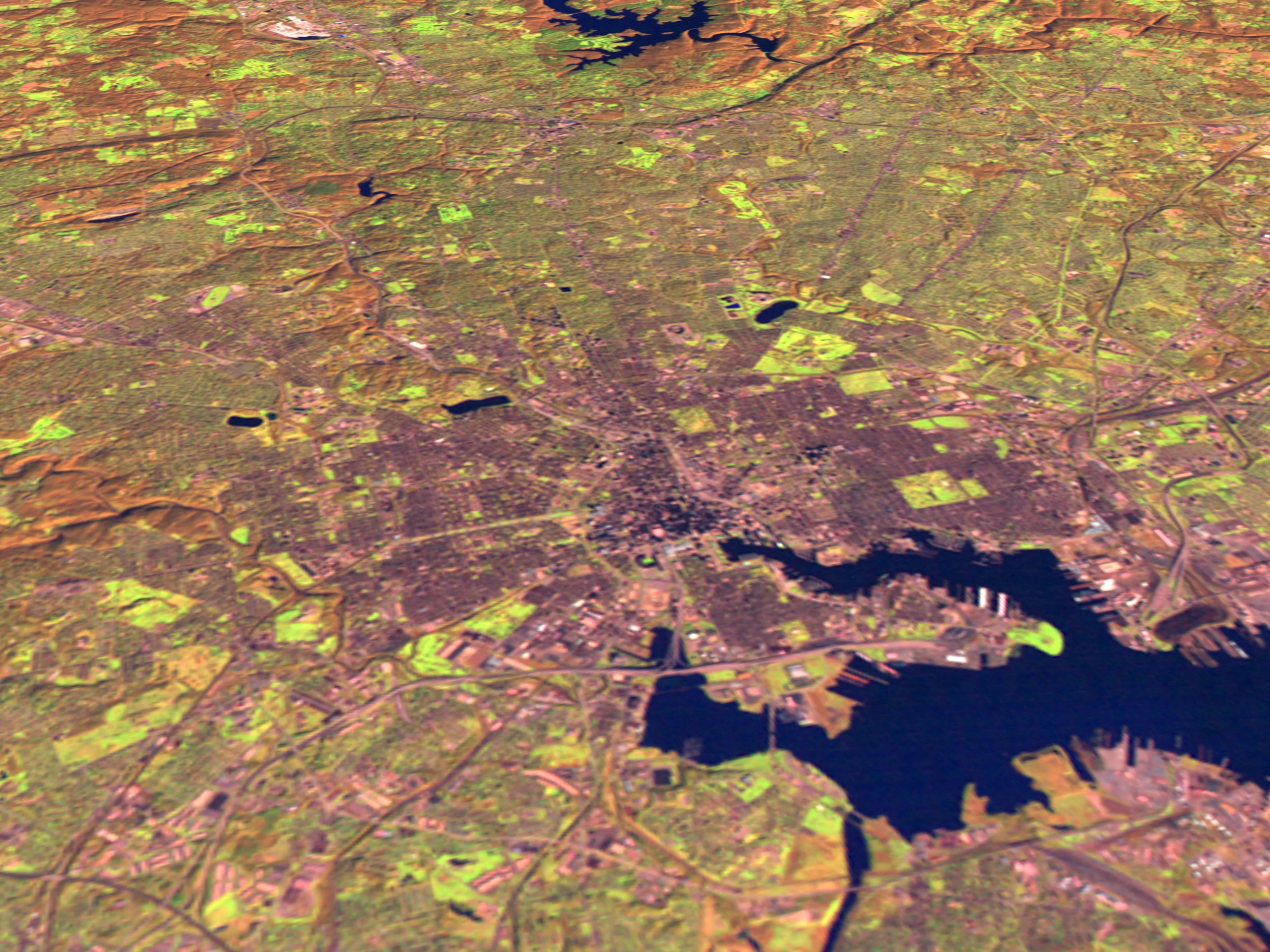
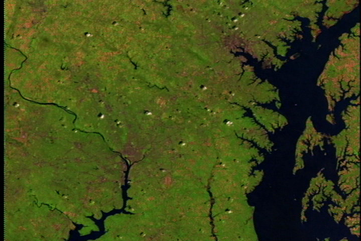
This scene shows Landsat Thematic Mapper data from the shortwave infrared (TM band 5), infrared (TM band 4), and visible green (TM band 2) channels of Baltimore. The Inner Harbor appears in the lower right, with the Patapsco River feeding into the Chesapeake Bay near the bottom. The higher resolution images show roads, including the Baltimore Beltway circling the city.
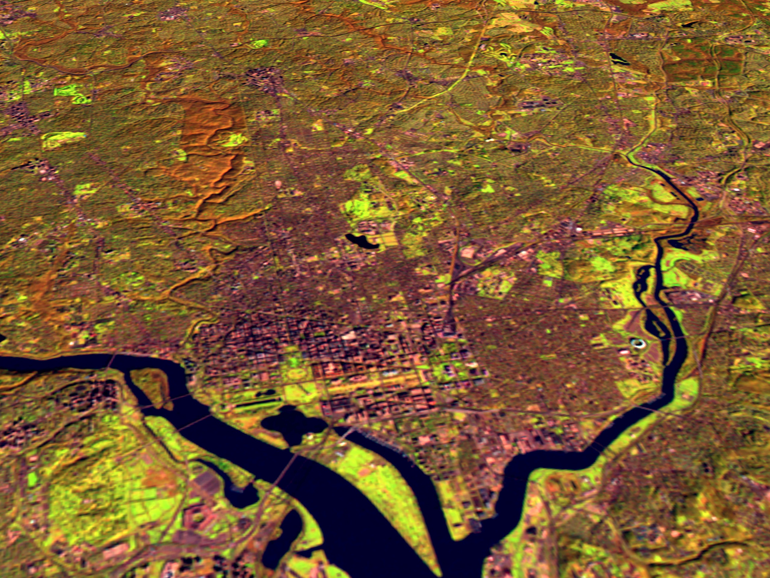
Washington D.C. and Baltimore With Terrain, x 3 Exaggeration
For More Information
Visualization Credits
Please give credit for this item to:
NASA/Goddard Space Flight Center Scientific Visualization Studio
NASA/Goddard Space Flight Center Scientific Visualization Studio
Short URL to share this page:
https://svs.gsfc.nasa.gov/896
Mission:
Landsat
Data Used:
Note: While we identify the data sets used in these visualizations, we do not store any further details nor the data sets themselves on our site.
This item is part of this series:
USCities
Goddard TV Tape:
G1999-021
Keywords:
SVS >> Baltimore
DLESE >> Human geography
DLESE >> Physical geography
SVS >> Washington DC
NASA Science >> Earth
https://svs.gsfc.nasa.gov/896
Mission:
Landsat
Data Used:
Landsat-5/TM
1996/11/16This item is part of this series:
USCities
Goddard TV Tape:
G1999-021
Keywords:
SVS >> Baltimore
DLESE >> Human geography
DLESE >> Physical geography
SVS >> Washington DC
NASA Science >> Earth


