Earth
ID: 65
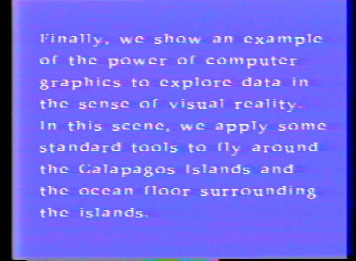
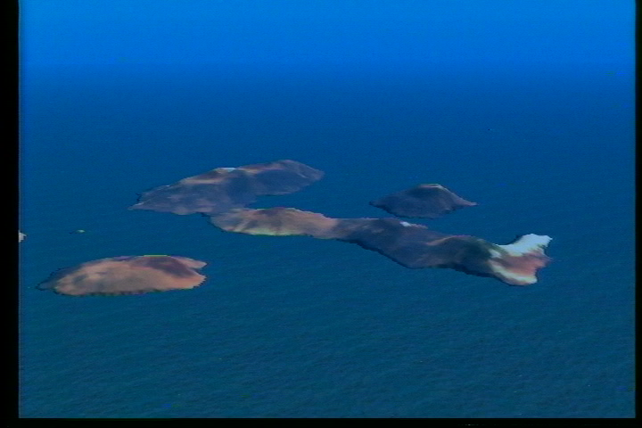
This animation shows the power of computer graphics to explore data in the sense of virtual reality. In this scene, standard tools are applied to fly around the Galapagos Islands and the ocean floor surrounding the islands.
Galapagos Islands Flyby
Visualization Credits
Please give credit for this item to:
NASA/Goddard Space Flight Center Scientific Visualization Studio
NASA/Goddard Space Flight Center Scientific Visualization Studio
Short URL to share this page:
https://svs.gsfc.nasa.gov/65
Mission:
Landsat
Data Used:
Note: While we identify the data sets used in these visualizations, we do not store any further details nor the data sets themselves on our site.
Dates of Data Used:
Various
Keywords:
DLESE >> Physical geography
DLESE >> Physical oceanography
GCMD >> Location >> Galapagos Islands
NASA Science >> Earth
GCMD keywords can be found on the Internet with the following citation: Olsen, L.M., G. Major, K. Shein, J. Scialdone, S. Ritz, T. Stevens, M. Morahan, A. Aleman, R. Vogel, S. Leicester, H. Weir, M. Meaux, S. Grebas, C.Solomon, M. Holland, T. Northcutt, R. A. Restrepo, R. Bilodeau, 2013. NASA/Global Change Master Directory (GCMD) Earth Science Keywords. Version 8.0.0.0.0
https://svs.gsfc.nasa.gov/65
Mission:
Landsat
Data Used:
Landsat-5/TM
1-Degree DEM
USGSETOPO5
NOAA NGDCDates of Data Used:
Various
Keywords:
DLESE >> Physical geography
DLESE >> Physical oceanography
GCMD >> Location >> Galapagos Islands
NASA Science >> Earth
GCMD keywords can be found on the Internet with the following citation: Olsen, L.M., G. Major, K. Shein, J. Scialdone, S. Ritz, T. Stevens, M. Morahan, A. Aleman, R. Vogel, S. Leicester, H. Weir, M. Meaux, S. Grebas, C.Solomon, M. Holland, T. Northcutt, R. A. Restrepo, R. Bilodeau, 2013. NASA/Global Change Master Directory (GCMD) Earth Science Keywords. Version 8.0.0.0.0


