Earth
ID: 64
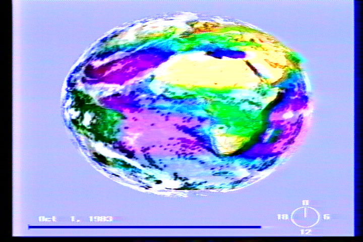
In this sequence, cloud cover data is mapped onto a layer above an Earth surface defined by topographic and bathymetric data and colored by biospheric data.
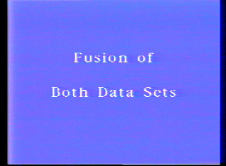
Fusion of Atmospheric and Terrestrial Data Sets
Visualization Credits
Dave Pape (NASA): Lead Animator
Gene Feldman (NASA/GSFC): Scientist
William Rossow (NASA/GSFC GISS): Scientist
Alison Walker (NASA/GSFC GISS): Scientist
Compton Tucker (NASA/GSFC): Scientist
Gene Feldman (NASA/GSFC): Scientist
William Rossow (NASA/GSFC GISS): Scientist
Alison Walker (NASA/GSFC GISS): Scientist
Compton Tucker (NASA/GSFC): Scientist
Please give credit for this item to:
NASA/Goddard Space Flight Center Scientific Visualization Studio
NASA/Goddard Space Flight Center Scientific Visualization Studio
Short URL to share this page:
https://svs.gsfc.nasa.gov/64
Data Used:
Note: While we identify the data sets used in these visualizations, we do not store any further details nor the data sets themselves on our site.
Dates of Data Used:
1978/10/01-1981/06/30, 1983/10/01-1983/10/31
Keywords:
DLESE >> Atmospheric science
DLESE >> Biological oceanography
SVS >> Clouds
DLESE >> Physical geography
DLESE >> Physical oceanography
GCMD >> Earth Science >> Biosphere
NASA Science >> Earth
GCMD keywords can be found on the Internet with the following citation: Olsen, L.M., G. Major, K. Shein, J. Scialdone, S. Ritz, T. Stevens, M. Morahan, A. Aleman, R. Vogel, S. Leicester, H. Weir, M. Meaux, S. Grebas, C.Solomon, M. Holland, T. Northcutt, R. A. Restrepo, R. Bilodeau, 2013. NASA/Global Change Master Directory (GCMD) Earth Science Keywords. Version 8.0.0.0.0
https://svs.gsfc.nasa.gov/64
Data Used:
NOAA-7/AVHRR
Nimbus-7/CZCS
Global Cloud Cover
Data Compilation - International Satellite Cloud Climatology Program (ISCCP)1-Degree DEM
USGSETOPO5
NOAA NGDCDates of Data Used:
1978/10/01-1981/06/30, 1983/10/01-1983/10/31
Keywords:
DLESE >> Atmospheric science
DLESE >> Biological oceanography
SVS >> Clouds
DLESE >> Physical geography
DLESE >> Physical oceanography
GCMD >> Earth Science >> Biosphere
NASA Science >> Earth
GCMD keywords can be found on the Internet with the following citation: Olsen, L.M., G. Major, K. Shein, J. Scialdone, S. Ritz, T. Stevens, M. Morahan, A. Aleman, R. Vogel, S. Leicester, H. Weir, M. Meaux, S. Grebas, C.Solomon, M. Holland, T. Northcutt, R. A. Restrepo, R. Bilodeau, 2013. NASA/Global Change Master Directory (GCMD) Earth Science Keywords. Version 8.0.0.0.0


