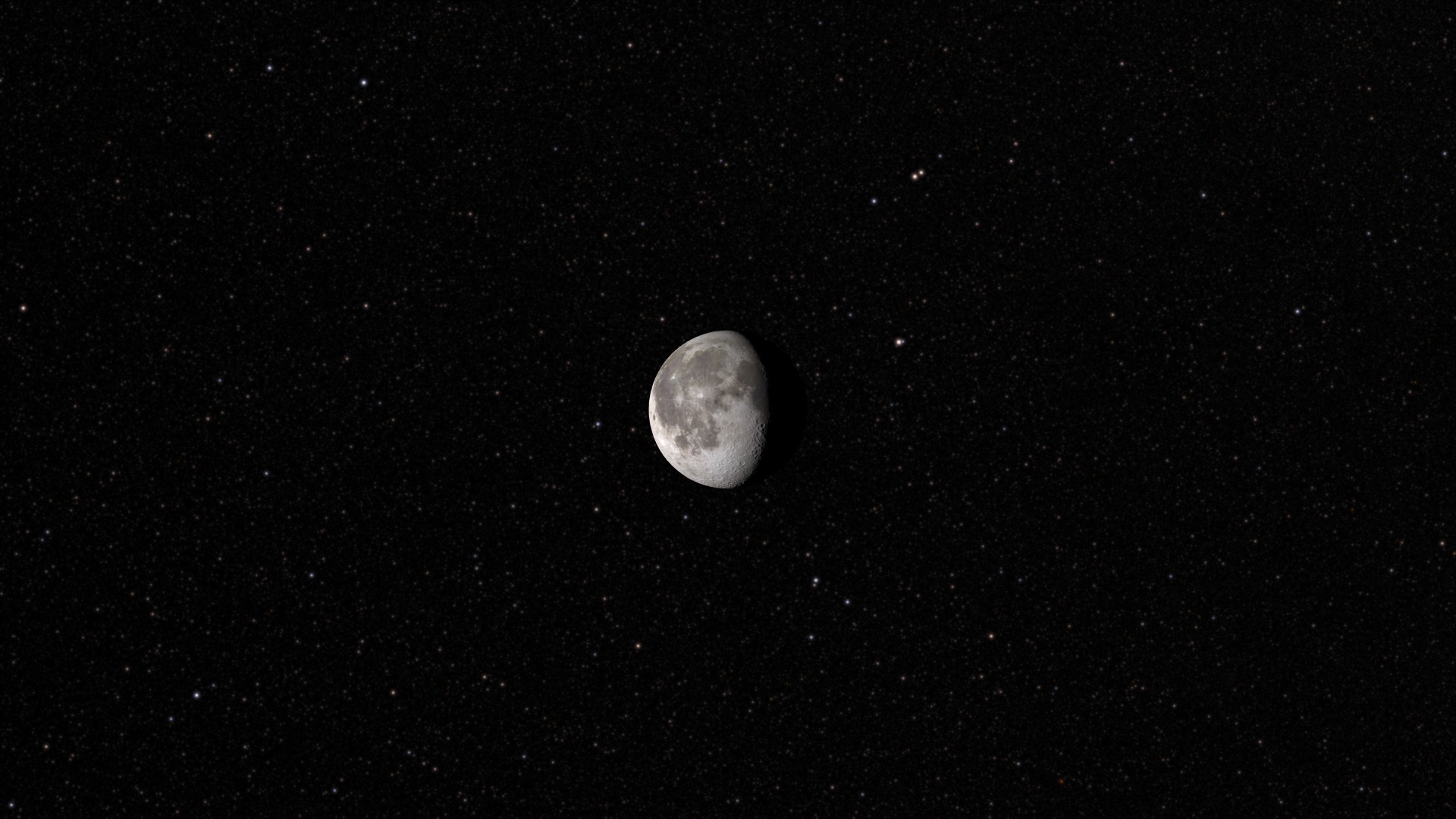
Tour of the Moon
There is a newer version of this story located here: https://svs.gsfc.nasa.gov/4619
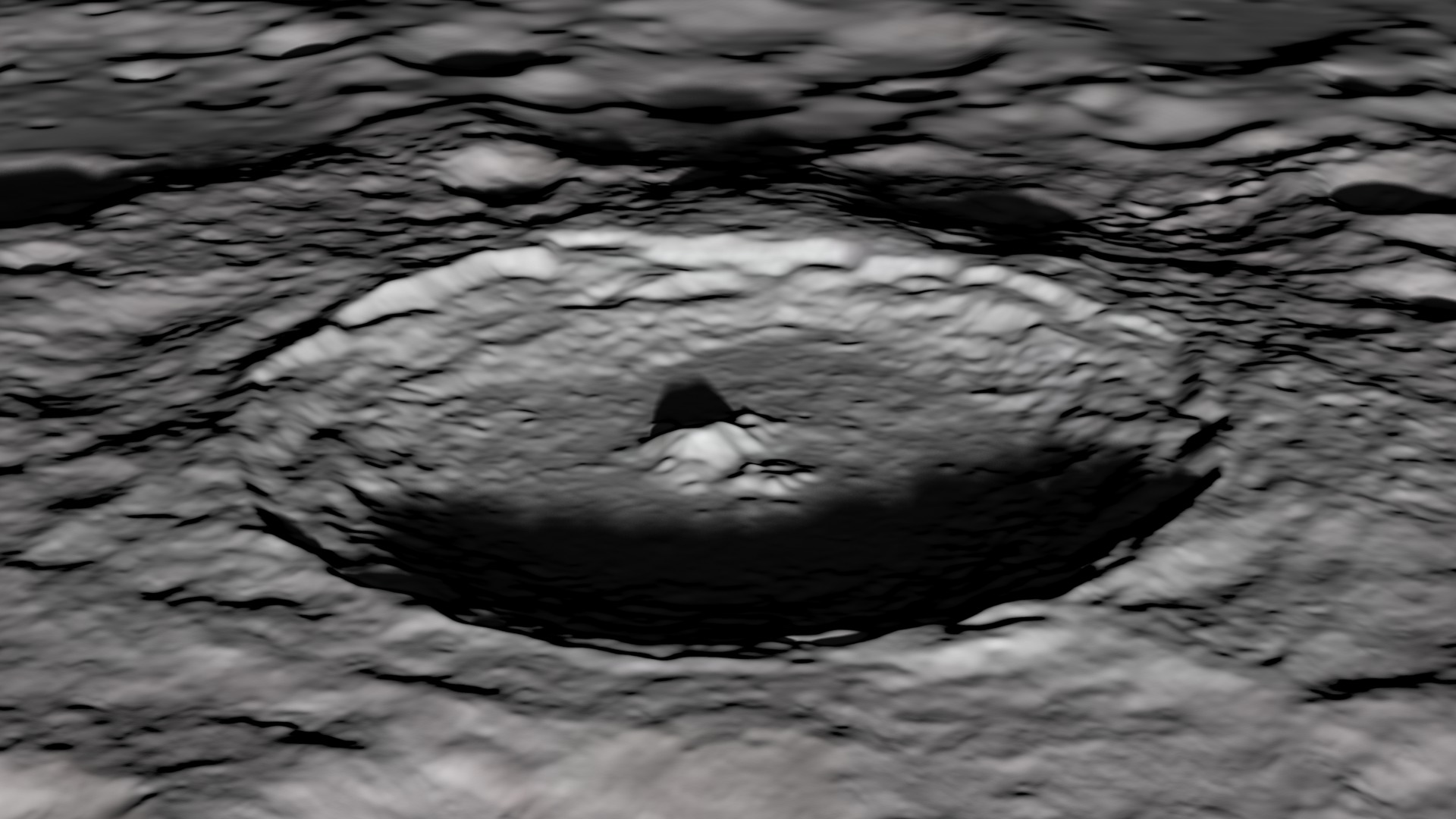
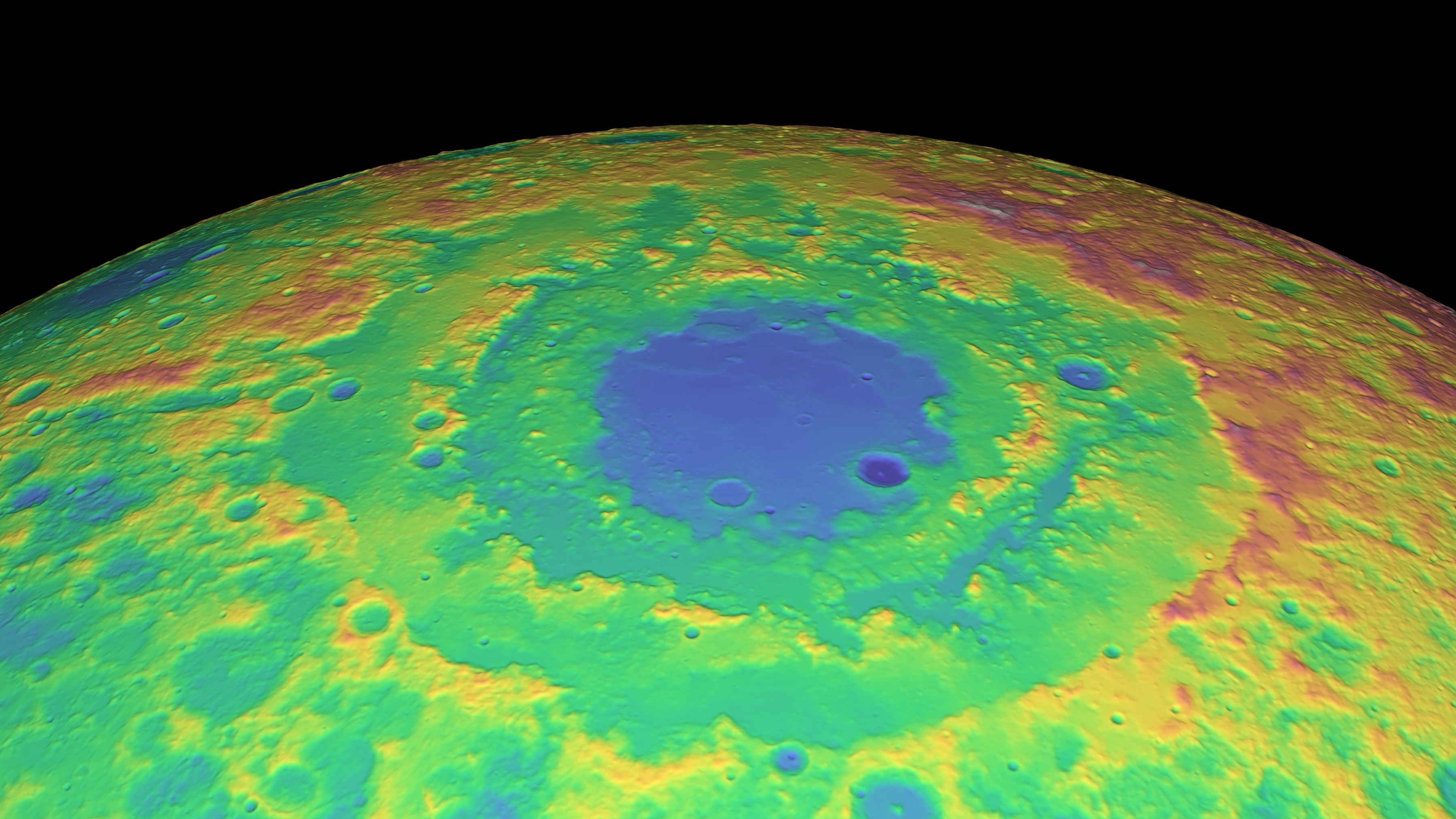
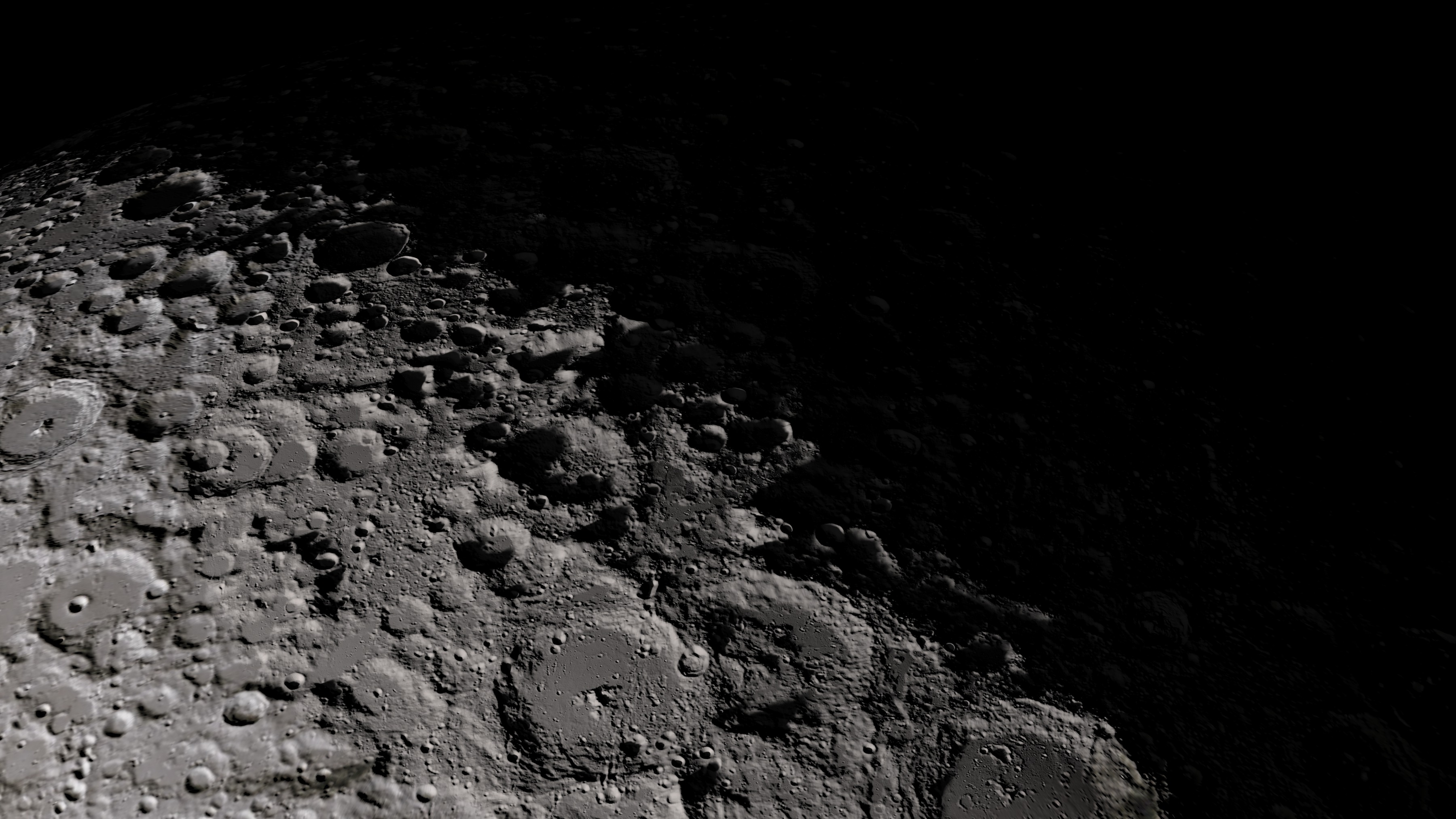
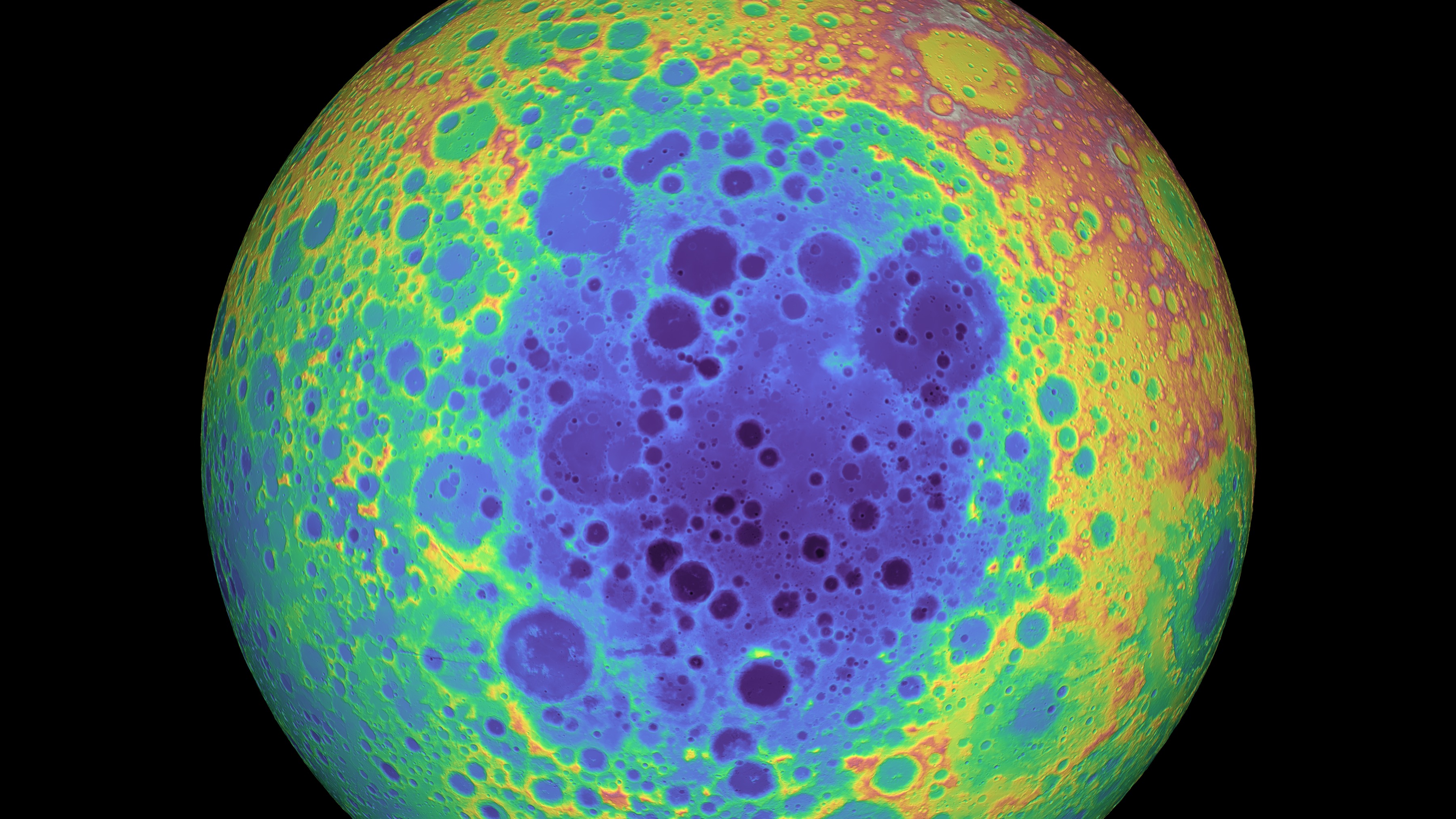
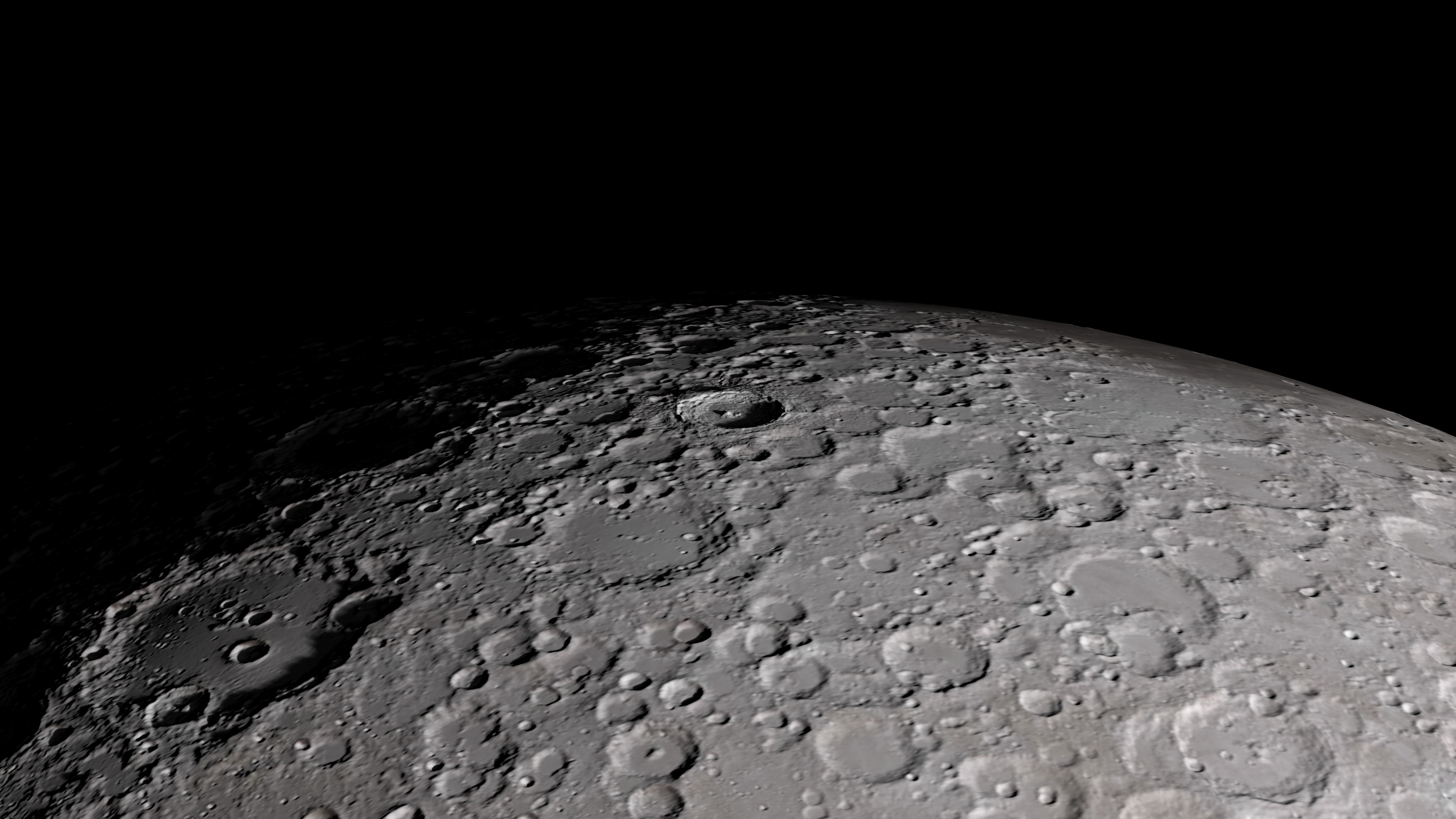
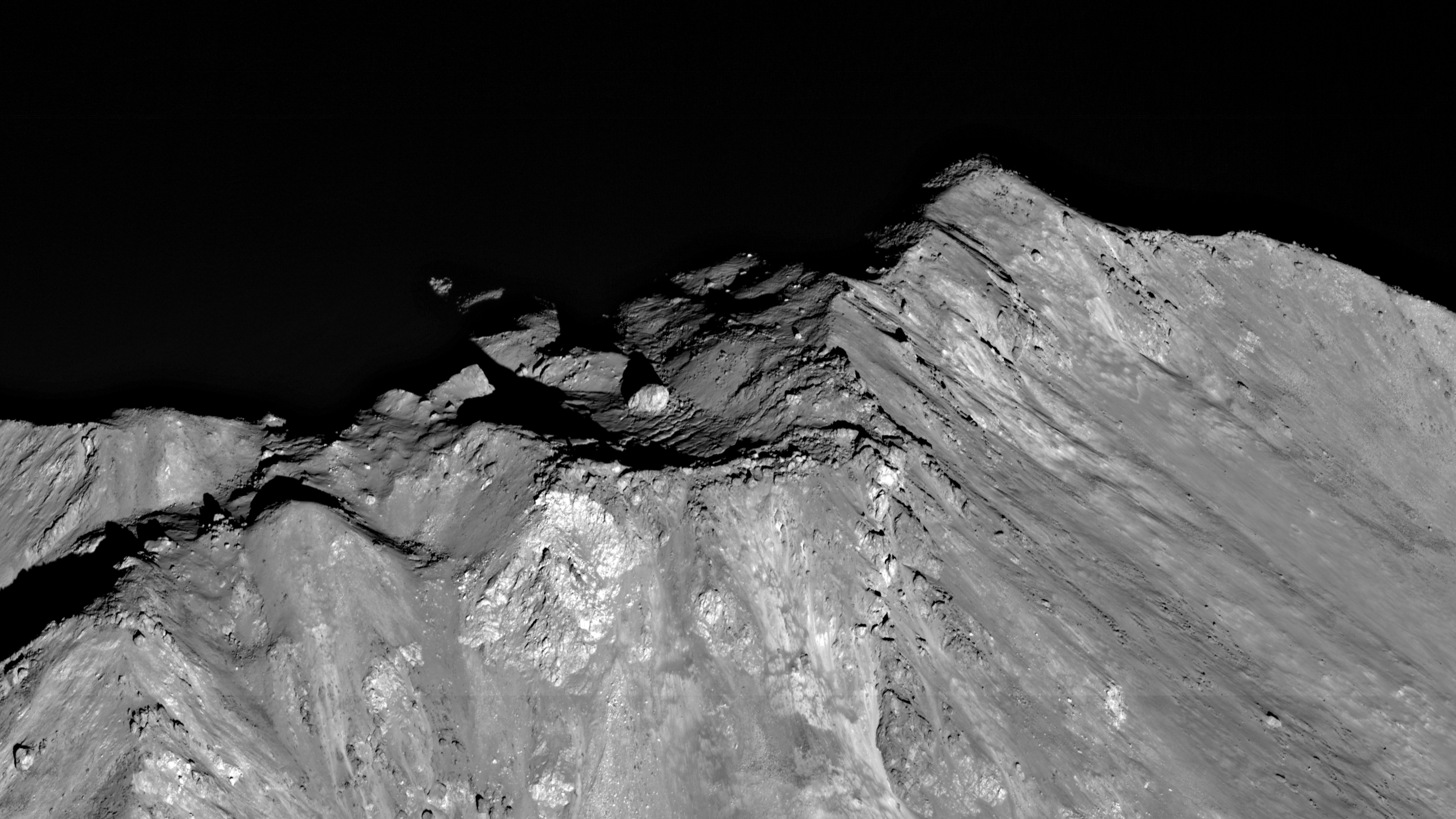
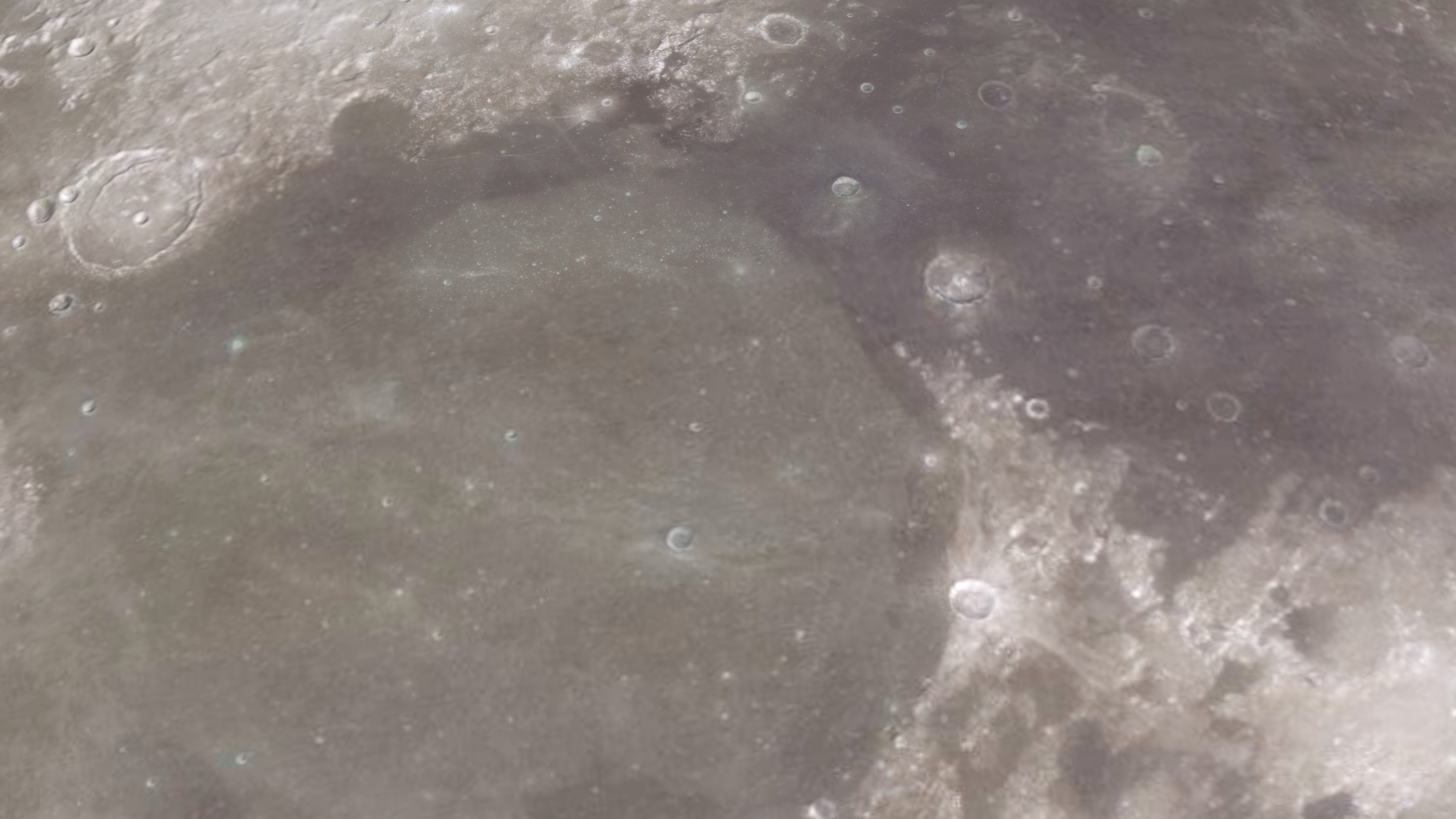
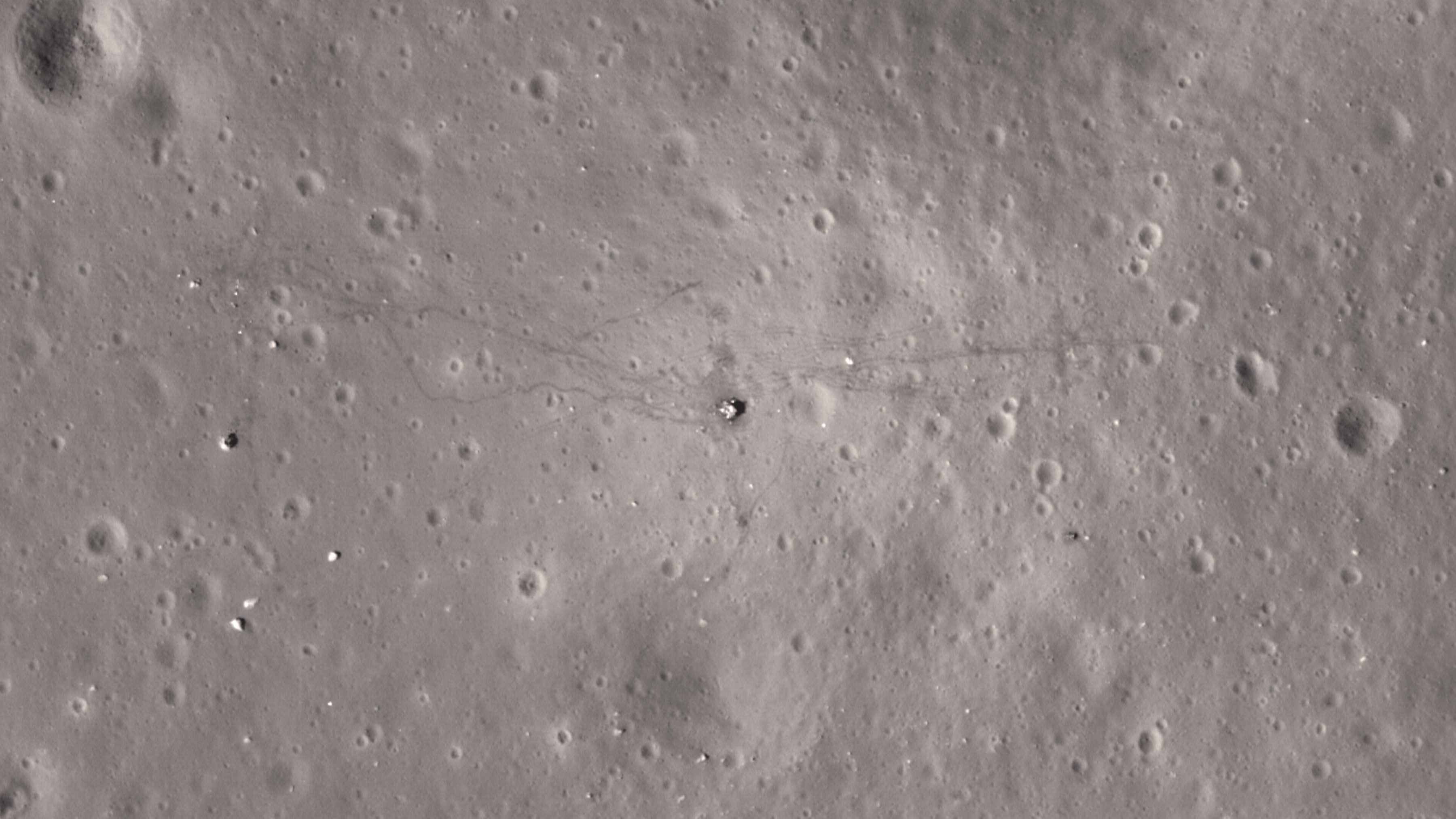
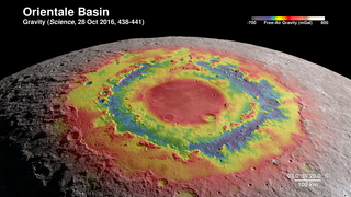
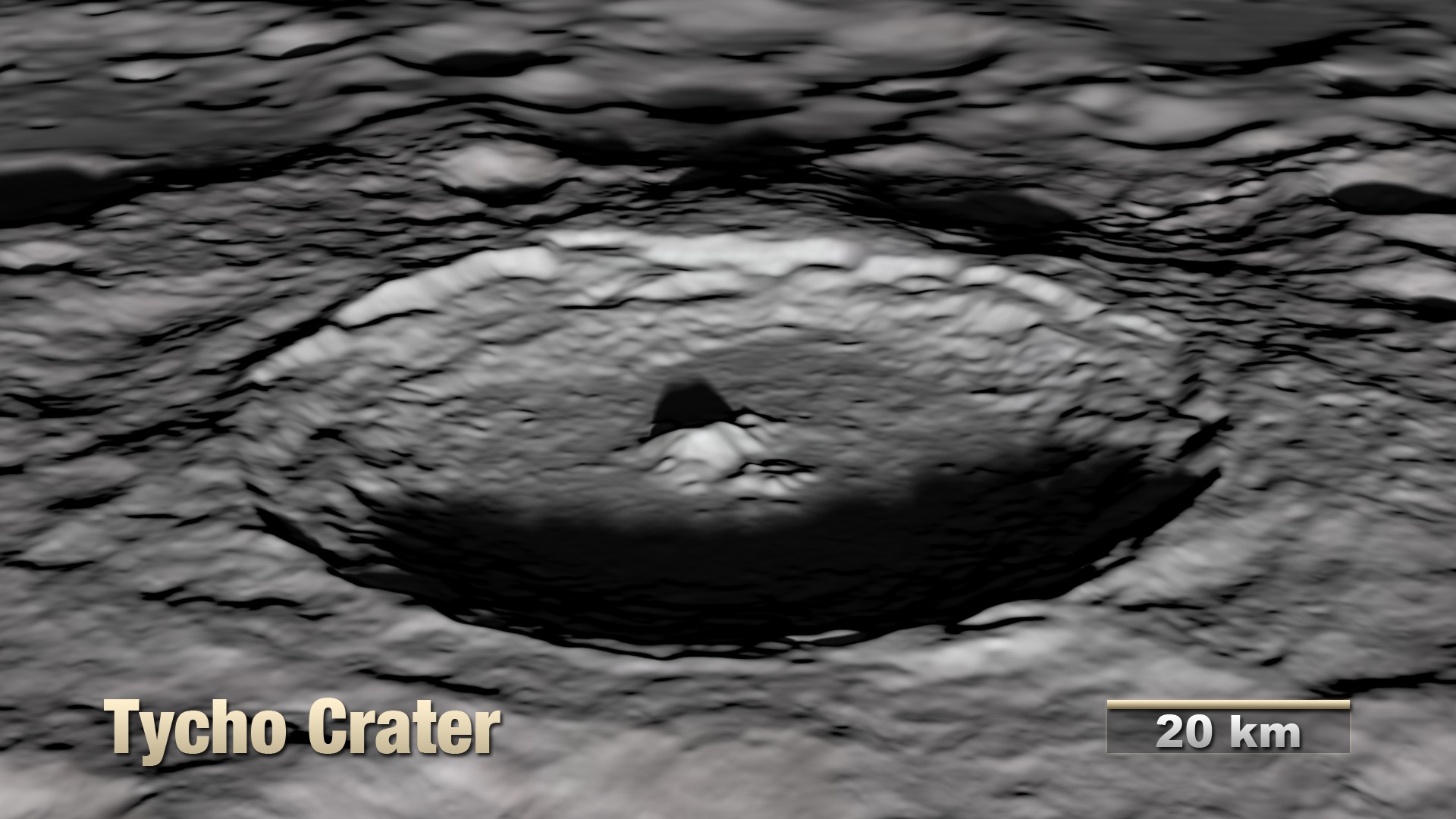
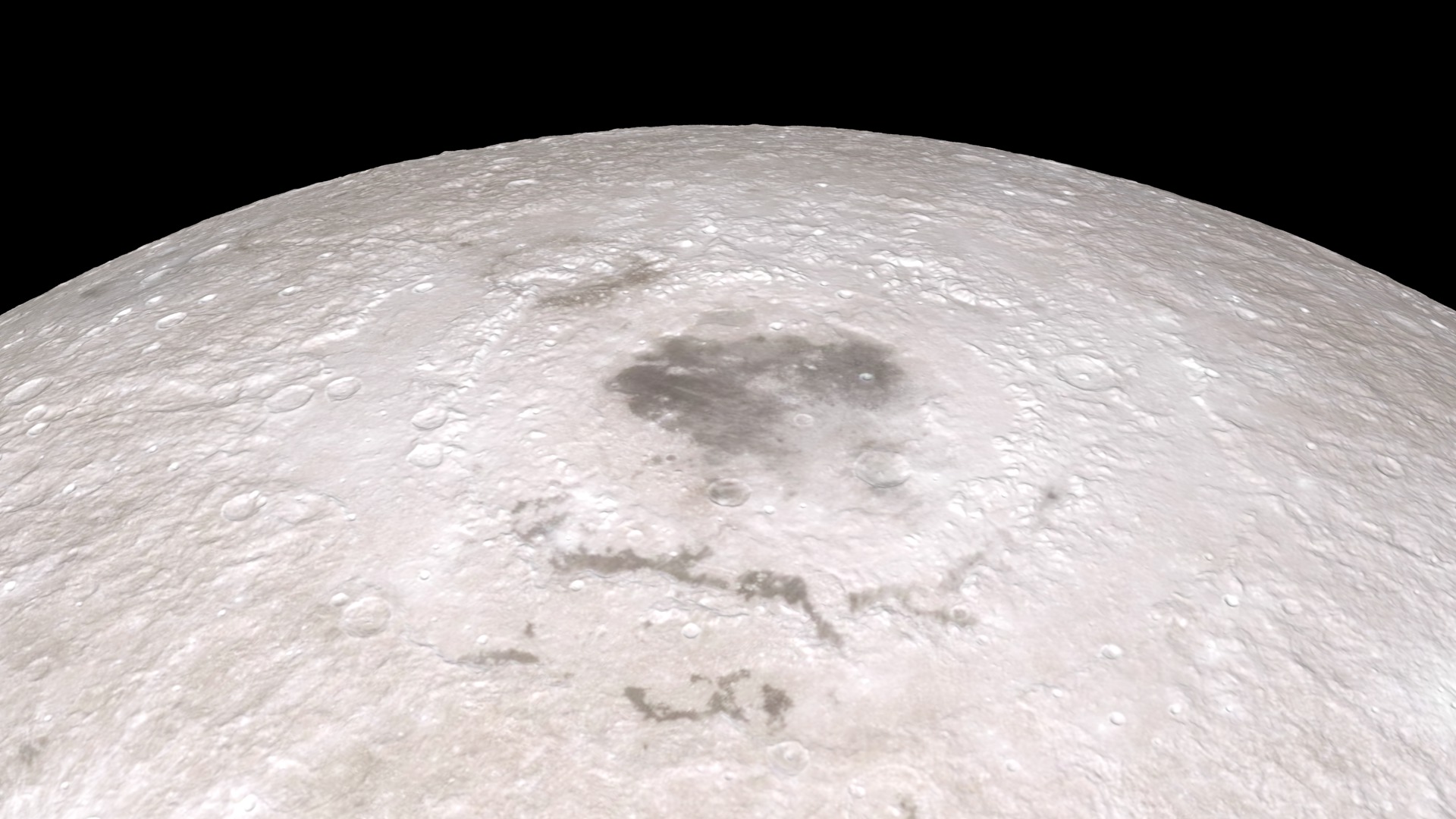
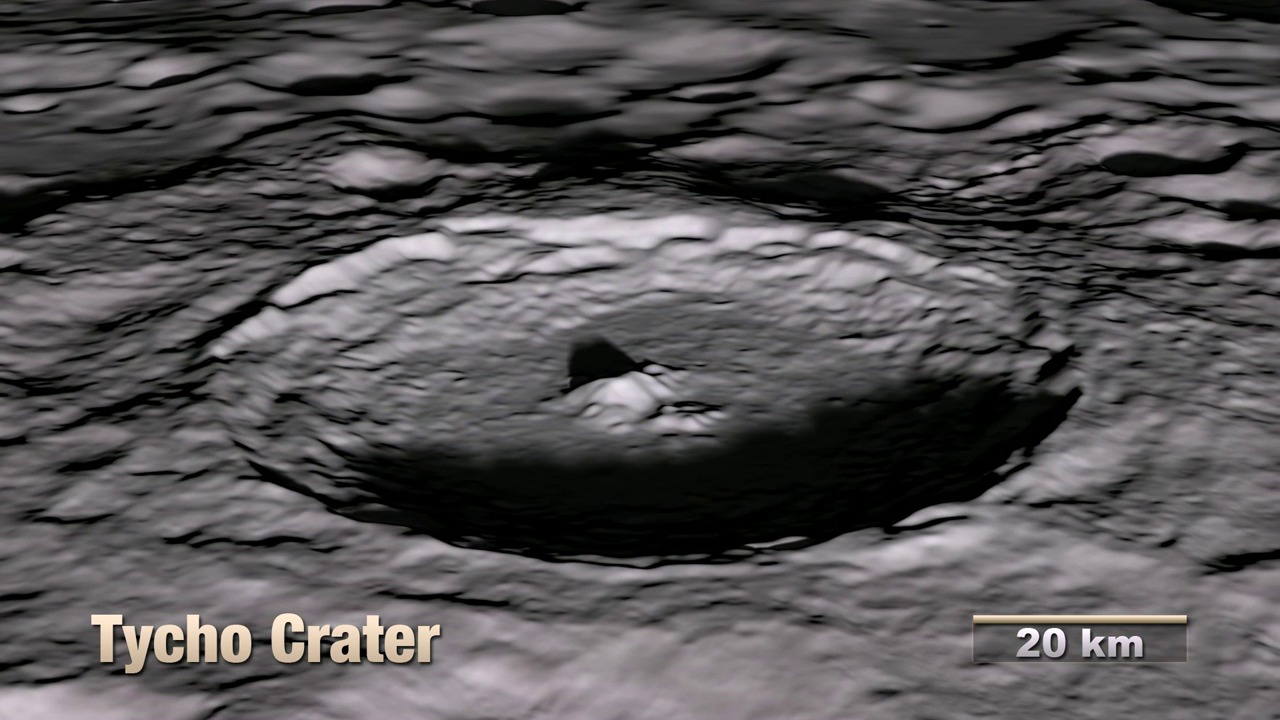
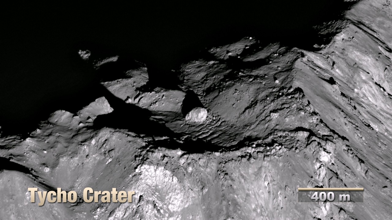
Using elevation and image data returned by Lunar Reconnaissance Orbiter (LRO), this animation takes the viewer on a virtual tour of the Moon. The tour visits a number of interesting sites chosen to illustrate a wide variety of lunar terrain features. Some are on the near side and are familiar to both professional and amateur observers on Earth, while others can only be seen clearly from space. Some are large and old (Orientale, South Pole-Aitken), others are smaller and younger (Tycho, Aristarchus). Constantly shadowed areas near the poles are hard to photograph but easier to measure with altimetry, while several of the Apollo landing sites, all relatively near the equator, have been imaged at resolutions as high as 25 centimeters (10 inches) per pixel.
The shape of the terrain in this animation is based primarily on data from LRO's laser altimeter (LOLA), supplemented by stereo image data from its wide angle camera (LROC WAC) and from Japan's Kaguya mission. The global surface color is from Clementine.


Newer Version
Visualization Credits
NASA/Goddard Space Flight Center Scientific Visualization Studio
https://svs.gsfc.nasa.gov/3874
Missions:
Clementine
LRO (Lunar Reconnaissance Orbiter)
Data Used:
LRO/LROC/Narrow Angle Camera also referred to as: NAC
10 Jun and 14 Aug 2011LRO/LROC
Aug 2009 to Sep 2011Kaguya/LISM/DTM also referred to as: Kaguya Stereo DEM
Model - JAXA - 15 Dec 2007LRO/LOLA/Digital Elevation Map also referred to as: DEM
Aug 2009 to Sep 2011Clementine
Feb 26 to Apr 21 1994This item is part of these series:
The Moon
LRO - Animations
Keywords:
SVS >> Elevation data
SVS >> Flyover
SVS >> HDTV
SVS >> Laser Altimeter
SVS >> Lunar
SVS >> Moon
SVS >> Hyperwall
SVS >> LRO
SVS >> Lunar Reconnaissance Orbiter
SVS >> LOLA
SVS >> LROC
SVS >> Lunar Topography
SVS >> Solar System >> Moon >> Lunar Surface
NASA Science >> Planets and Moons
SVS >> Presentation


