LRO's Diviner during the June 15, 2011 Lunar Eclipse
For Lunar Reconnaissance Orbiter (LRO), the lunar eclipse on June 15, 2011 is likely to be the longest and darkest of its life. This matters because LRO relies on sunlight to power its systems and instruments. Although it spends half of every orbit on the night side of the Moon, each night side pass lasts only an hour. For the June 15 eclipse, LRO will be in the dark for more than twice as long.
During a previous total eclipse, LRO hibernated, turning off all of its instruments to conserve its battery power until the Moon emerged from the Earth's shadow. For the June 15 event, LRO will leave on the Diviner Lunar Radiometry Experiment. Diviner will measure the cooling of the Moon's surface during the eclipse. This unique temperature record is expected to reveal information about the roughness and composition of the swath of lunar surface visible to Diviner's sensors during the eclipse.
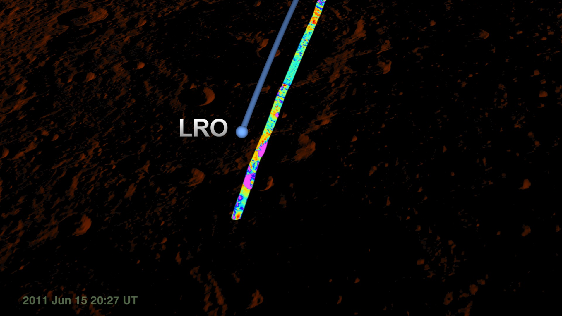
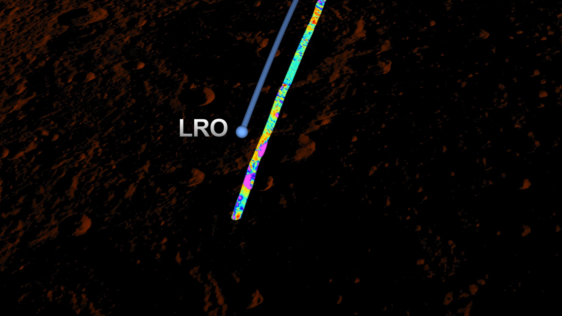
The visualization archived on this page shows LRO flying over the lunar surface during the darkest part of the eclipse, with Diviner measuring temperatures along a swath about 3.5 kilometers wide. LRO will pass this part of the surface again during the eclipse, and it will tilt a bit so that Diviner can point at the same strip of lunar surface. The difference between the two temperature readings gives the rate of cooling at each point along the swath.
Other visualizations in this series depict the view of the eclipse
- from the Moon, where the event is a solar eclipse
- along the shadow line, with the figures of the umbra, penumbra, and lunar and solar paths
- through a telescope on Earth
A narrated piece that uses these visualizations is in entry #10794. For an explanation of lunar eclipses, visit entry #10787.


Visualization Credits
Genna Duberstein (USRA): Producer
Chris Smith (HTSI): Producer
Richard Vondrak (NASA/GSFC): Scientist
NASA/Goddard Space Flight Center Scientific Visualization Studio
https://svs.gsfc.nasa.gov/3835
Mission:
LRO (Lunar Reconnaissance Orbiter)
Data Used:
LRO/LOLA/Digital Elevation Map also referred to as: DEM
August 2009 - December 2010This item is part of these series:
The Moon
LRO - Animations
Keywords:
SVS >> HDTV
SVS >> Lunar
SVS >> Moon
SVS >> LRO
SVS >> Lunar Reconnaissance Orbiter
SVS >> Eclipse
SVS >> LOLA
SVS >> Diviner Lunar Radiometer Experiment (DLRE)
SVS >> Lunar Eclipse
SVS >> Lunar Surface
SVS >> Lunar Topography
SVS >> Lunar Surface Temperature
SVS >> Lunar Elevation Map
SVS >> Satellites >> Lunar
SVS >> Solar System >> Moon >> Lunar Surface
NASA Science >> Planets and Moons


