Earth
ID: 3539
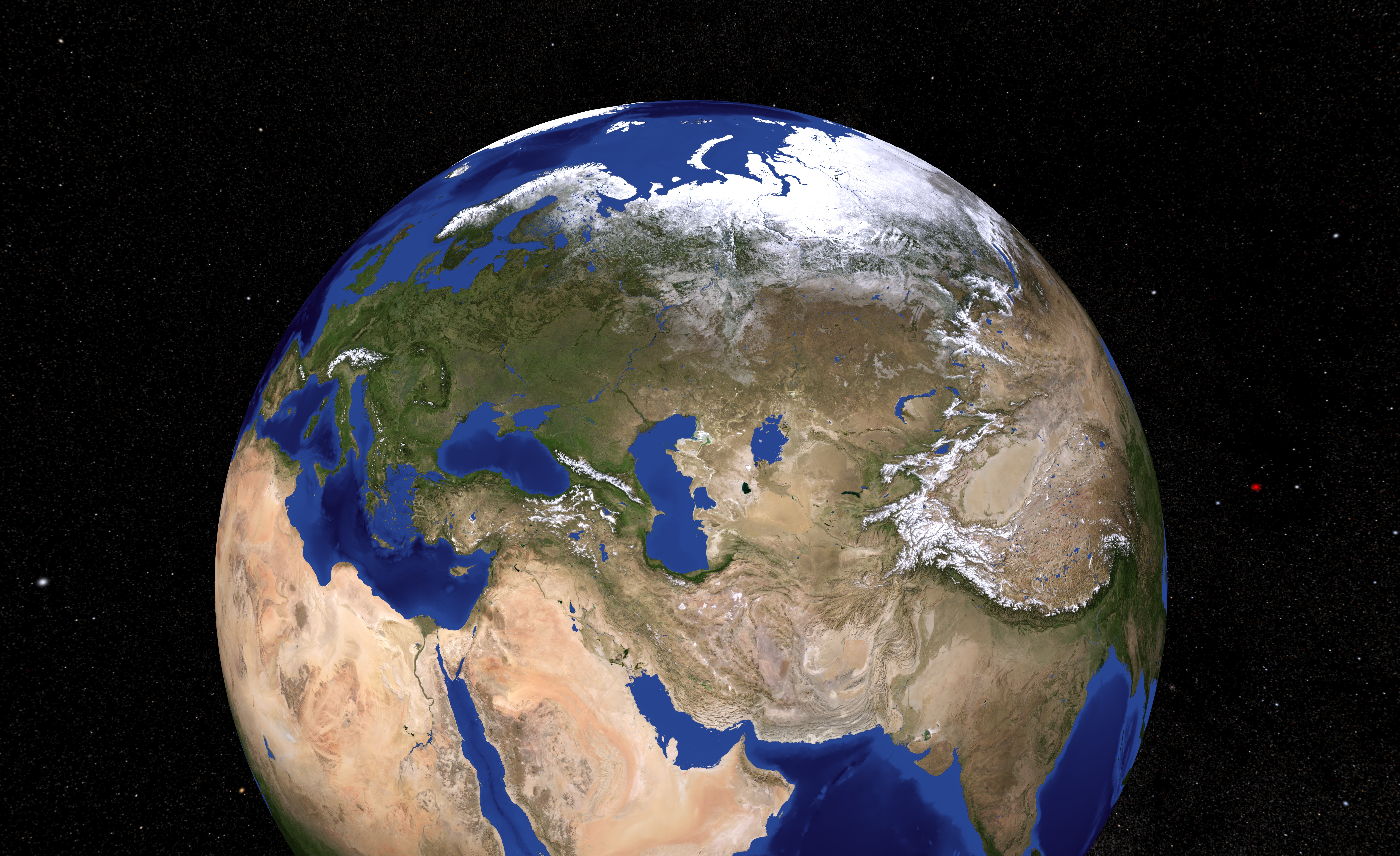
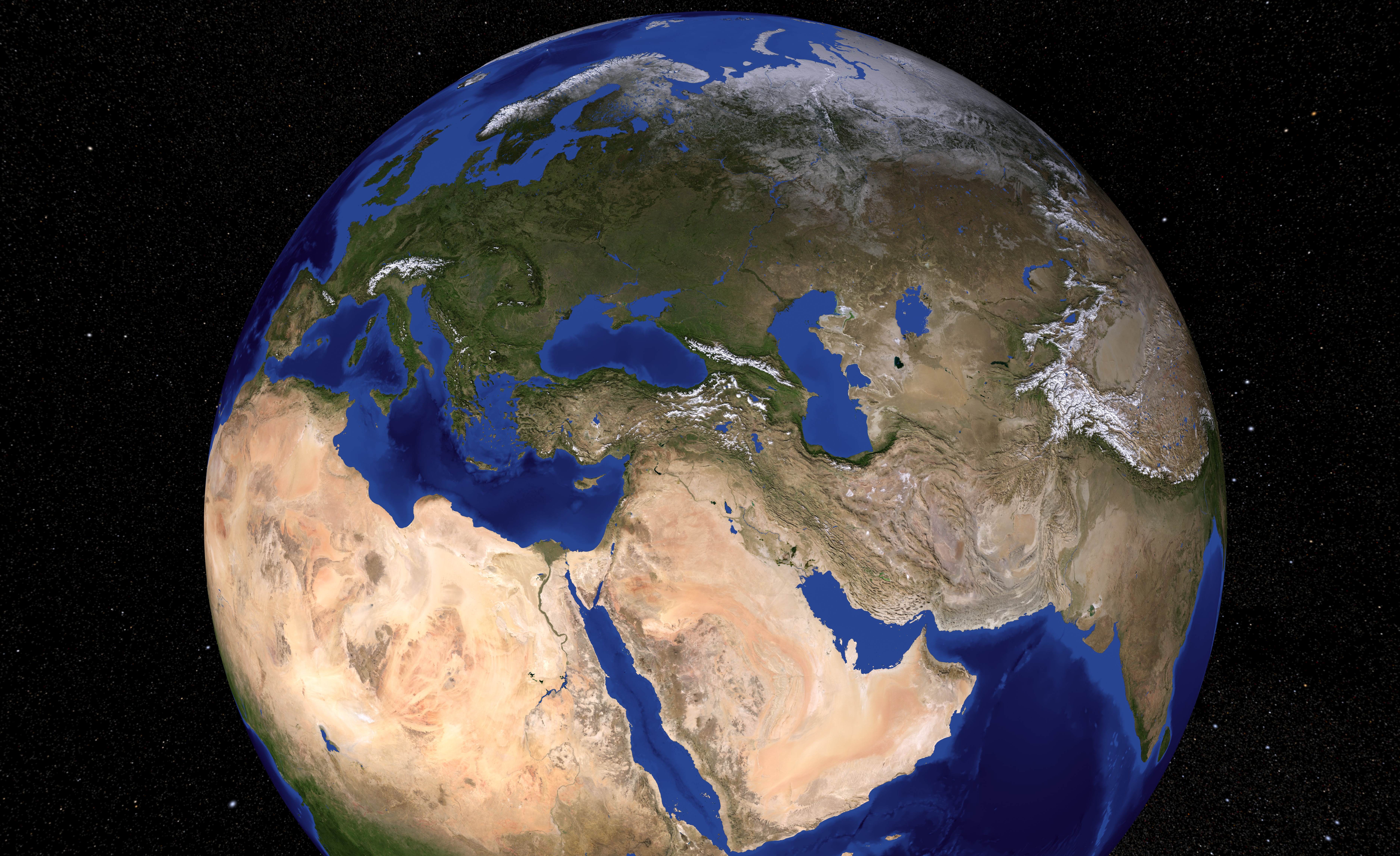
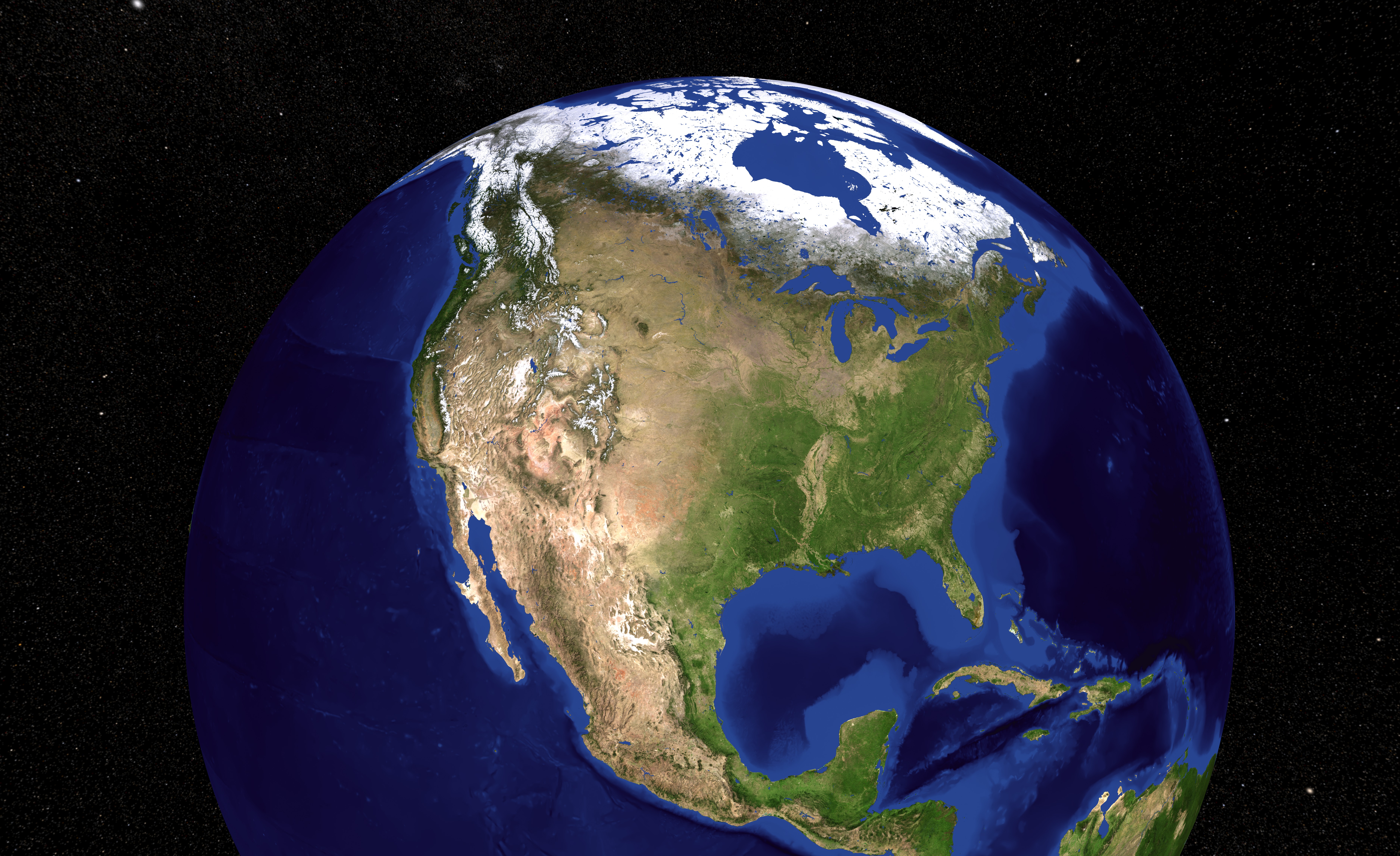
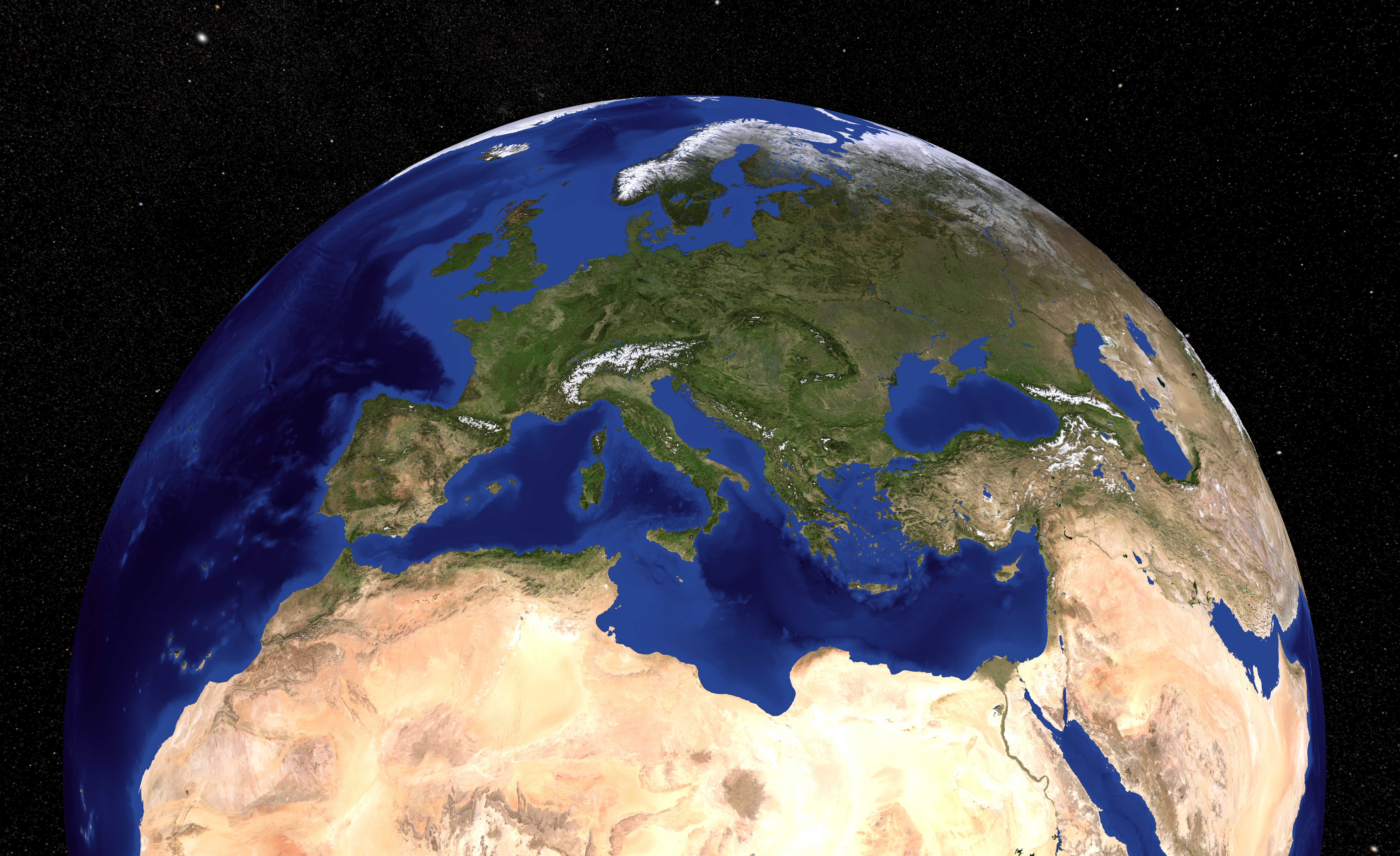
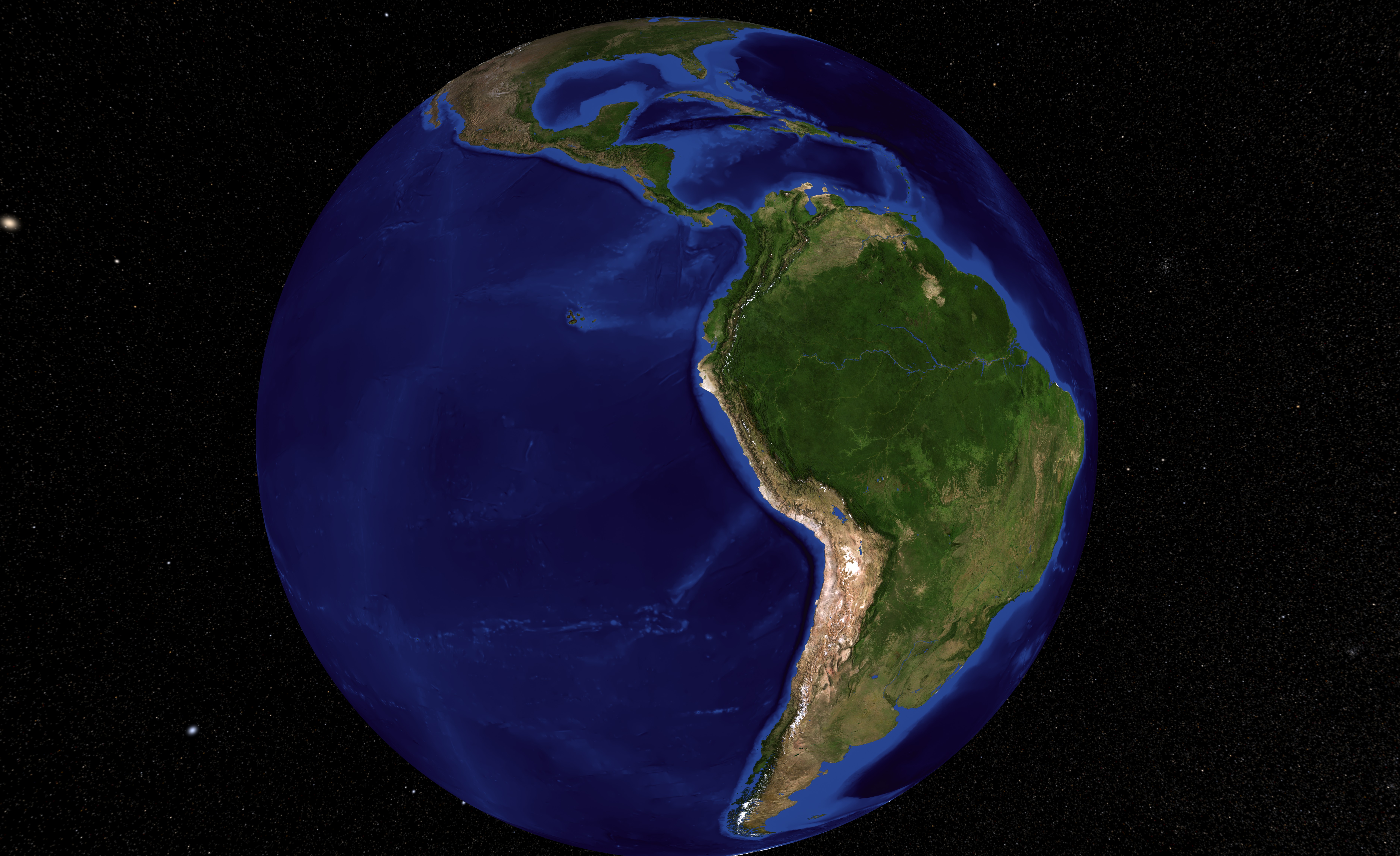
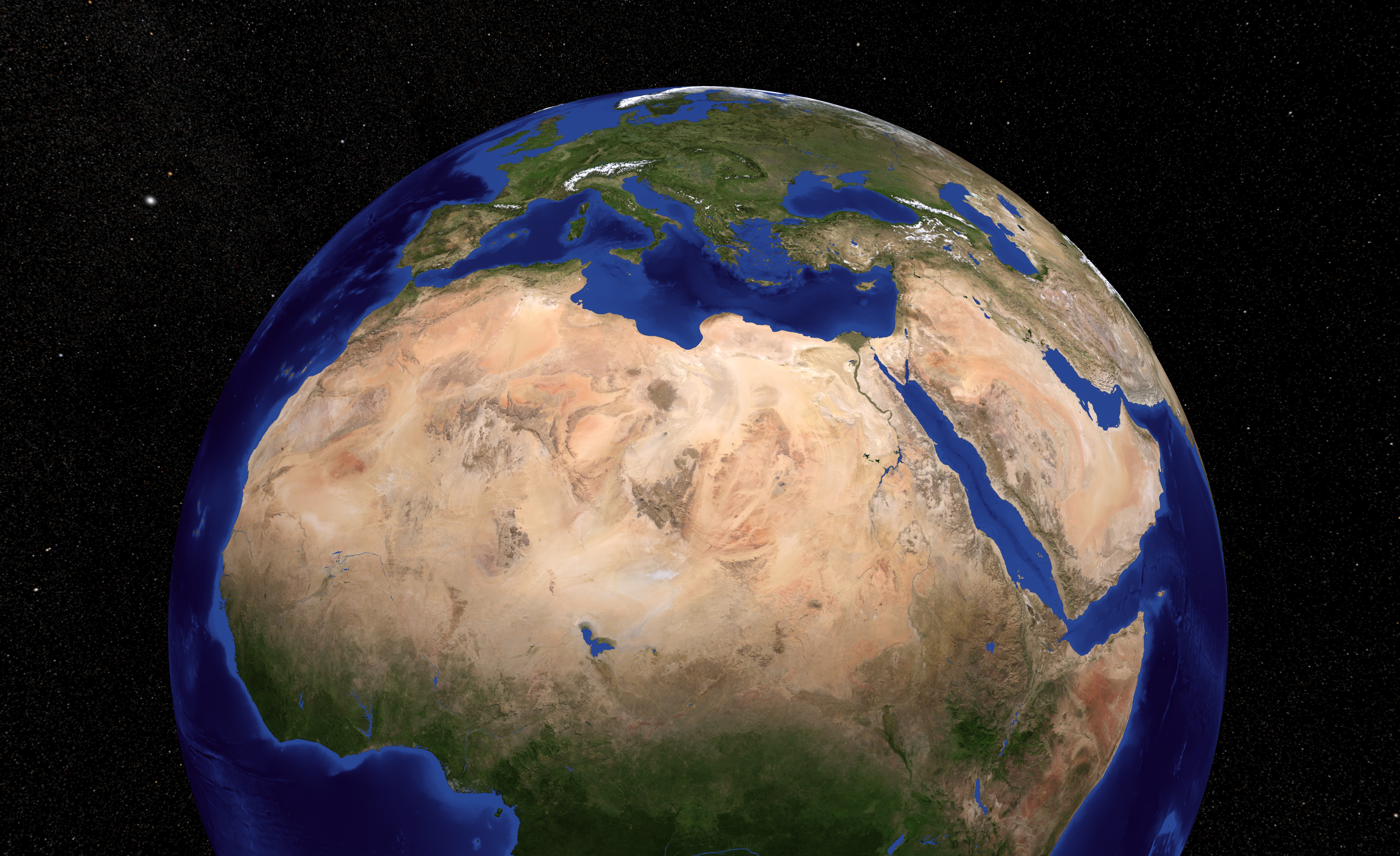
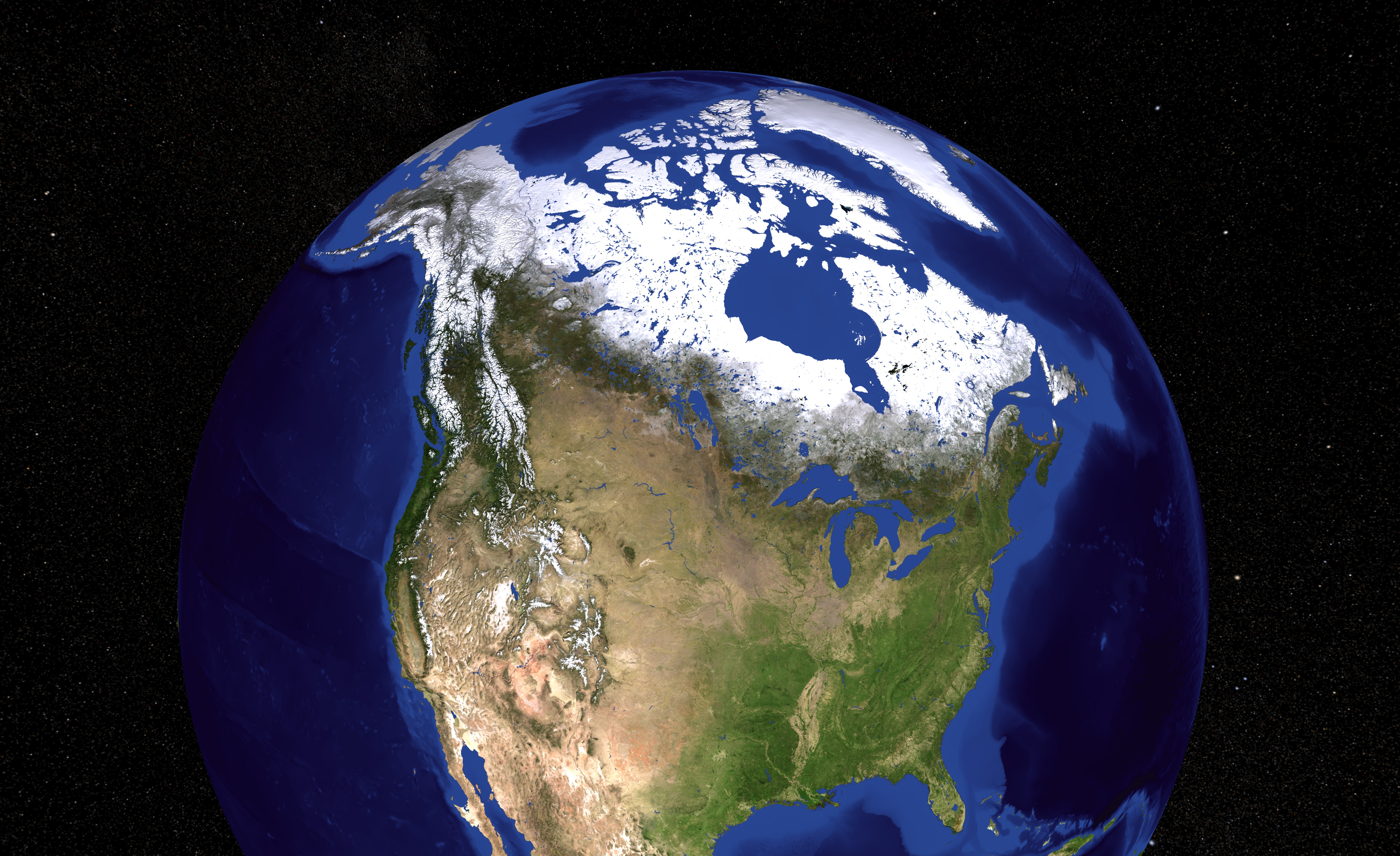
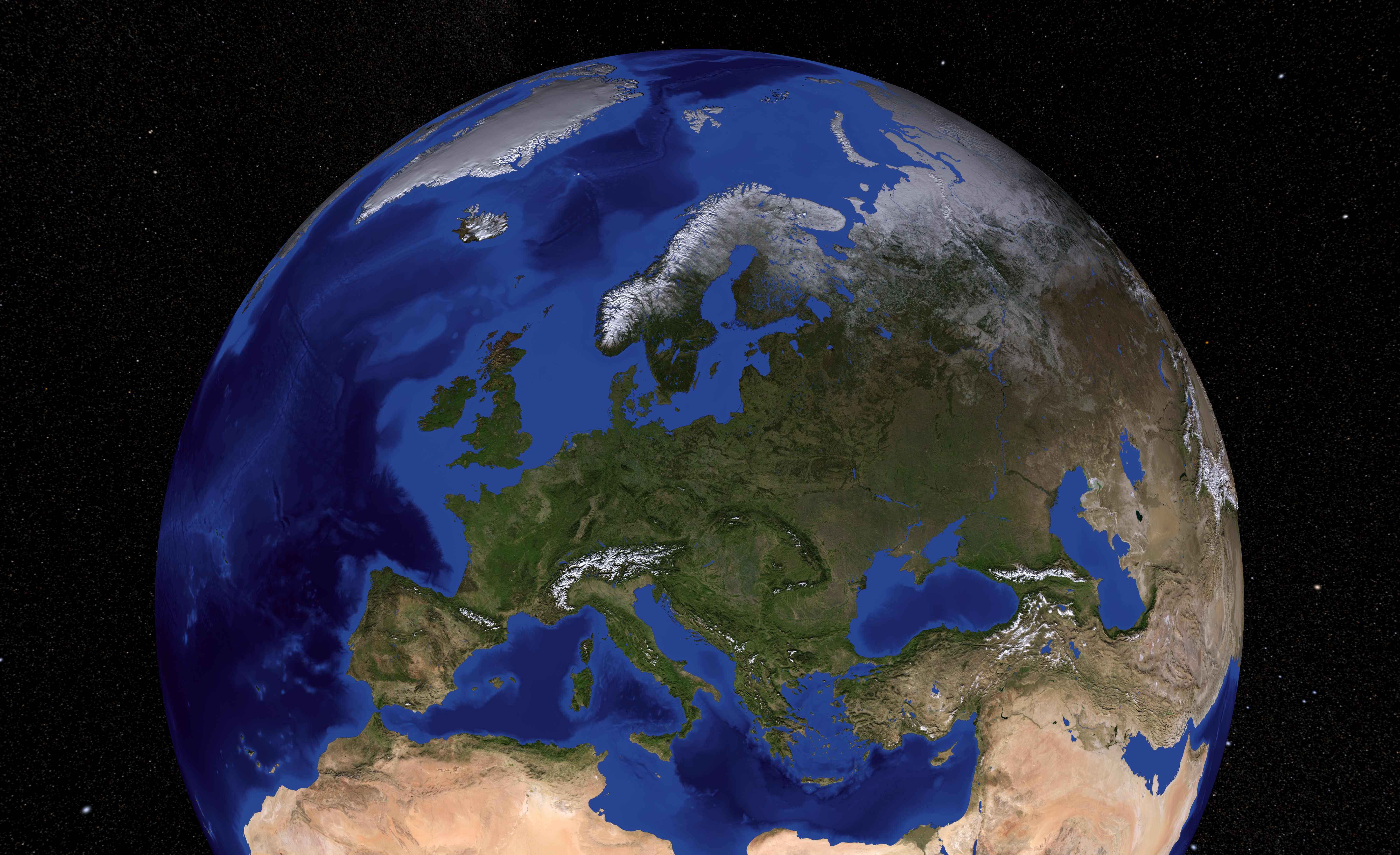
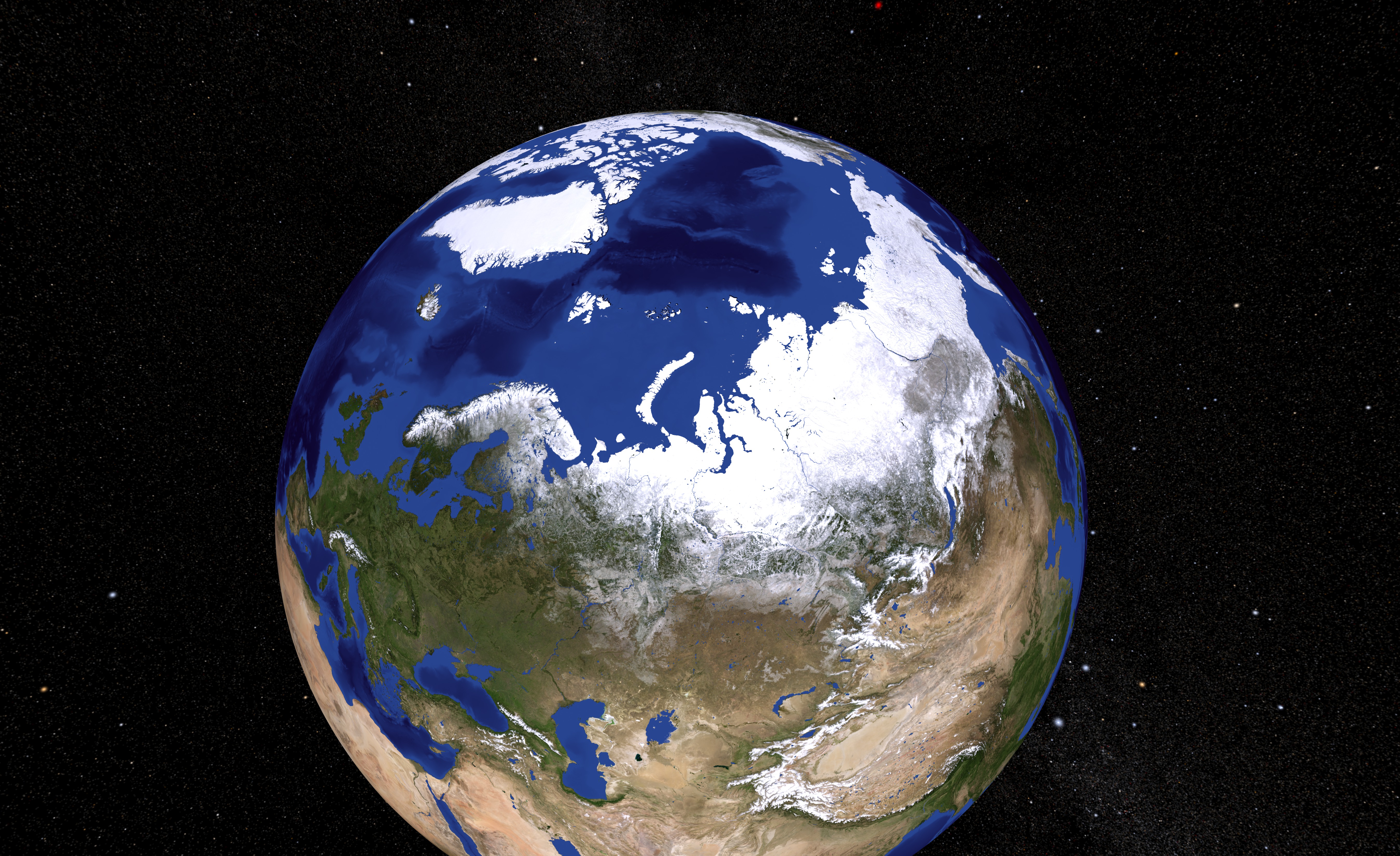
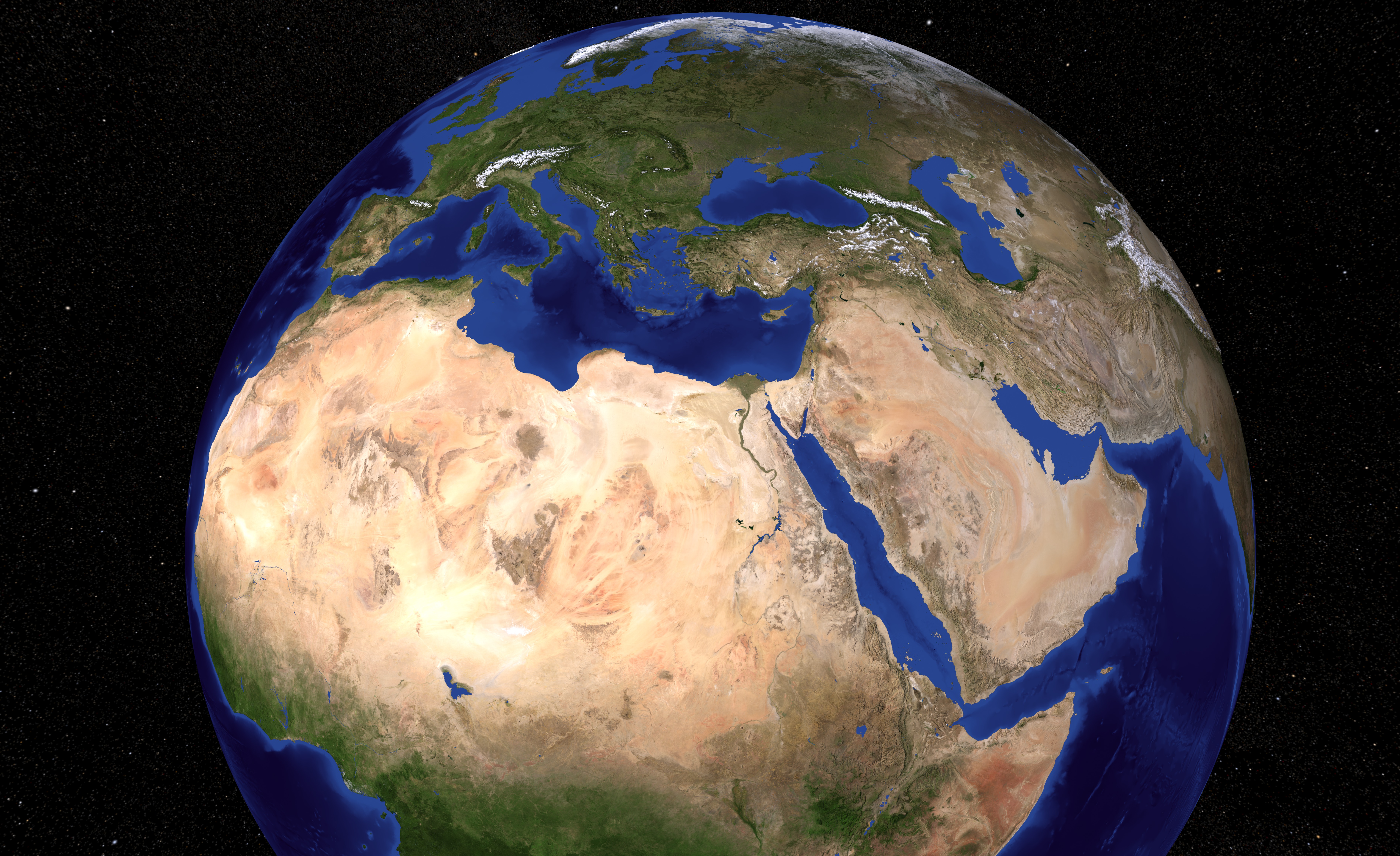
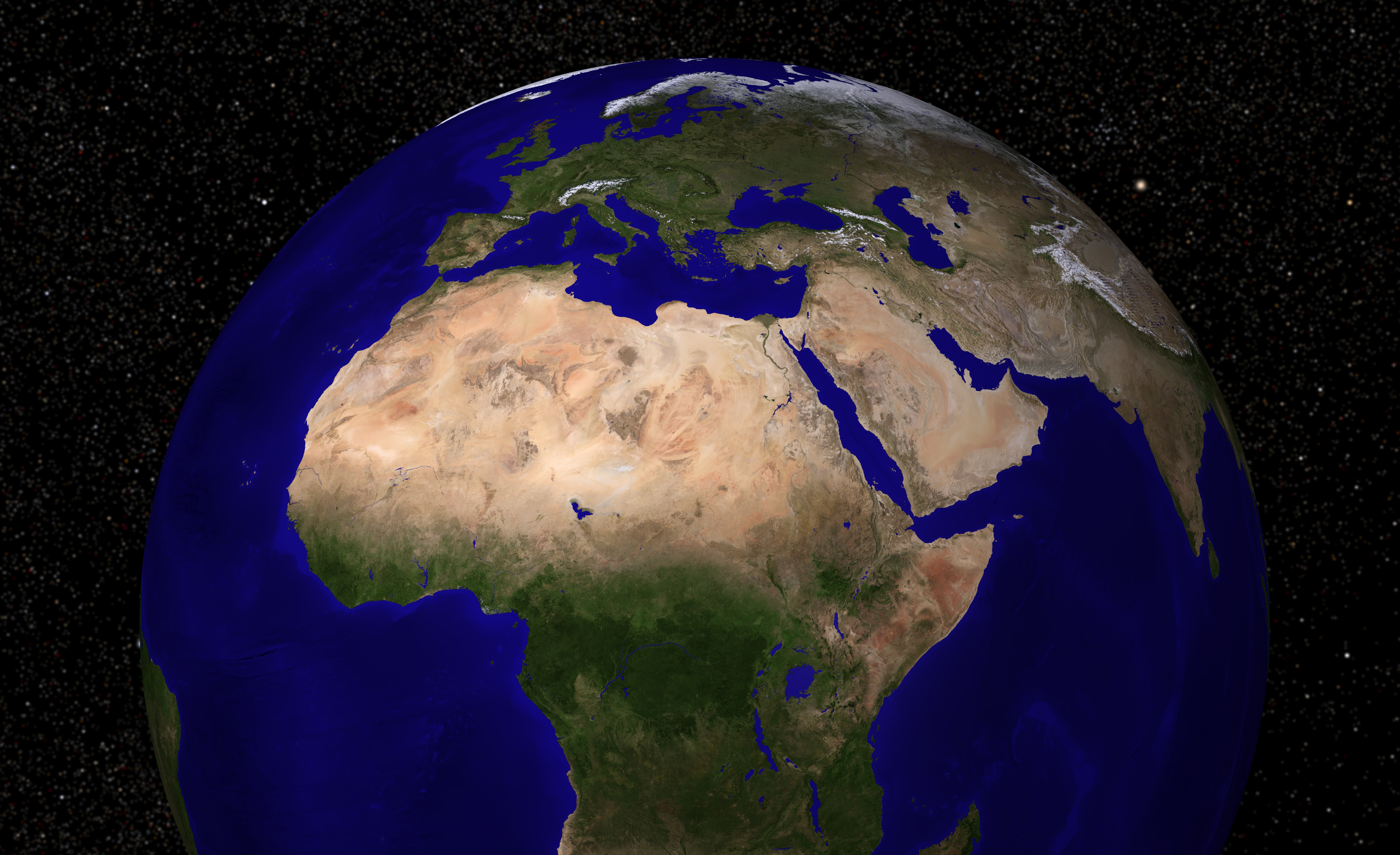
The Blue Marble Next Generation (BMNG) data set provides a monthly global cloud-free true-color picture of the Earth's landcover at a 500-meter spatial resolution. This data set, shown on a globe, is derived from monthly data collected in 2004. The ocean color is derived from applying a depth shading to the bathymetry data. The Antarctica coverage snown is the Landsat Image Mosaic of Antarctica. Behind the Earth is a skymap from the Tycho and Hipparcos star catalogs. This skymap is plotted in plate carrée projection (Cylindrical-Equidistant) using celestial coordinates making them suitable for mapping onto spheres in many popular animation programs. The stars are plotted as gaussian point-spread functions (PSF) so the size and amplitude of the stars corresponds to their relative intensity. The stars are also elongated in Right Ascension (celestial longitude) based on declination (celestial latitude) so stars in the polar regions will still be round when projected on a sphere. Stars fainter than the threshold magnitude, usually selected as 5th magnitude, have their magnitude-intensity curve adjusted so they appear brighter than they really are. This makes the band of the Milky Way more visible. Stellar colors are assigned based on B and V magnitudes (B and V are stellar magnitudes measured through different filters). If Tycho B and V magnitudes are unavailable, Johnson B and V magnitudes are used instead. From these, an effective stellar temperature is derived using the algorithms described in Flower (ApJ 469, 355 1996). Corrections were noted from Siobahn Morgan (UNI). The effective temperature was then converted to CIE tristimulus X,Y,Z triples assuming a black-body emission distribution. The X,Y,Z values are then converted to red-green-blue color pixels. About 2.4 million stars are plotted, but many may be below the pixel intensity resolution. The three most conspicuously missing objects on these maps are the Andromeda galaxy (M31) and the two Magellanic Clouds.
Blue Marble Next Generation Images from Terra/MODIS
Visualization Credits
Lori Perkins (NASA/GSFC): Lead Animator
Tom Bridgman (Global Science and Technology, Inc.): Animator
Tom Bridgman (Global Science and Technology, Inc.): Animator
Please give credit for this item to:
NASA/Goddard Space Flight Center Scientific Visualization Studio
NASA/Goddard Space Flight Center Scientific Visualization Studio
The Blue Marble Next Generation data is courtesy of Reto Stockli (NASA/GSFC).
Short URL to share this page:
https://svs.gsfc.nasa.gov/3539
Missions:
Landsat
Terra
Tropical Rainfall Measuring Mission - TRMM
Data Used:
Note: While we identify the data sets used in these visualizations, we do not store any further details nor the data sets themselves on our site.
Keywords:
DLESE >> Cryology
SVS >> HDTV
SVS >> Sea Ice
GCMD >> Earth Science >> Cryosphere
NASA Science >> Earth
GCMD keywords can be found on the Internet with the following citation: Olsen, L.M., G. Major, K. Shein, J. Scialdone, S. Ritz, T. Stevens, M. Morahan, A. Aleman, R. Vogel, S. Leicester, H. Weir, M. Meaux, S. Grebas, C.Solomon, M. Holland, T. Northcutt, R. A. Restrepo, R. Bilodeau, 2013. NASA/Global Change Master Directory (GCMD) Earth Science Keywords. Version 8.0.0.0.0
https://svs.gsfc.nasa.gov/3539
Missions:
Landsat
Terra
Tropical Rainfall Measuring Mission - TRMM
Data Used:
Hipparcos/Telescope/Tycho 2 Catalogue also referred to as: Tycho Catalogue
DatabaseHipparcos/Telescope/Hipparcos Catalogue
DatabaseTRMM/PR and TMI/Monthly Average Precipitation
Terra and Aqua/MODIS/Blue Marble Land Cover
2004-01 to 2004-12
Credit:
The Blue Marble data is courtesy of Reto Stockli (NASA/GSFC).
The Blue Marble data is courtesy of Reto Stockli (NASA/GSFC).
Landsat-7/ETM+/Landsat Image Mosaic of Antarctica also referred to as: LIMA
Mosaic - NASA/GSFC, British Antarctic Survey, USGS EROS Data Center - 12/25/1999 - 12/31/2001
Mosaicing to avoid clouds produced a high quality, nearly cloud-free benchmark data set of Antarctica for the International Polar Year from images collected primarily during 1999-2003.
Keywords:
DLESE >> Cryology
SVS >> HDTV
SVS >> Sea Ice
GCMD >> Earth Science >> Cryosphere
NASA Science >> Earth
GCMD keywords can be found on the Internet with the following citation: Olsen, L.M., G. Major, K. Shein, J. Scialdone, S. Ritz, T. Stevens, M. Morahan, A. Aleman, R. Vogel, S. Leicester, H. Weir, M. Meaux, S. Grebas, C.Solomon, M. Holland, T. Northcutt, R. A. Restrepo, R. Bilodeau, 2013. NASA/Global Change Master Directory (GCMD) Earth Science Keywords. Version 8.0.0.0.0


