How LRO Will Find Safe Landing Sites on the Moon (No Narration)
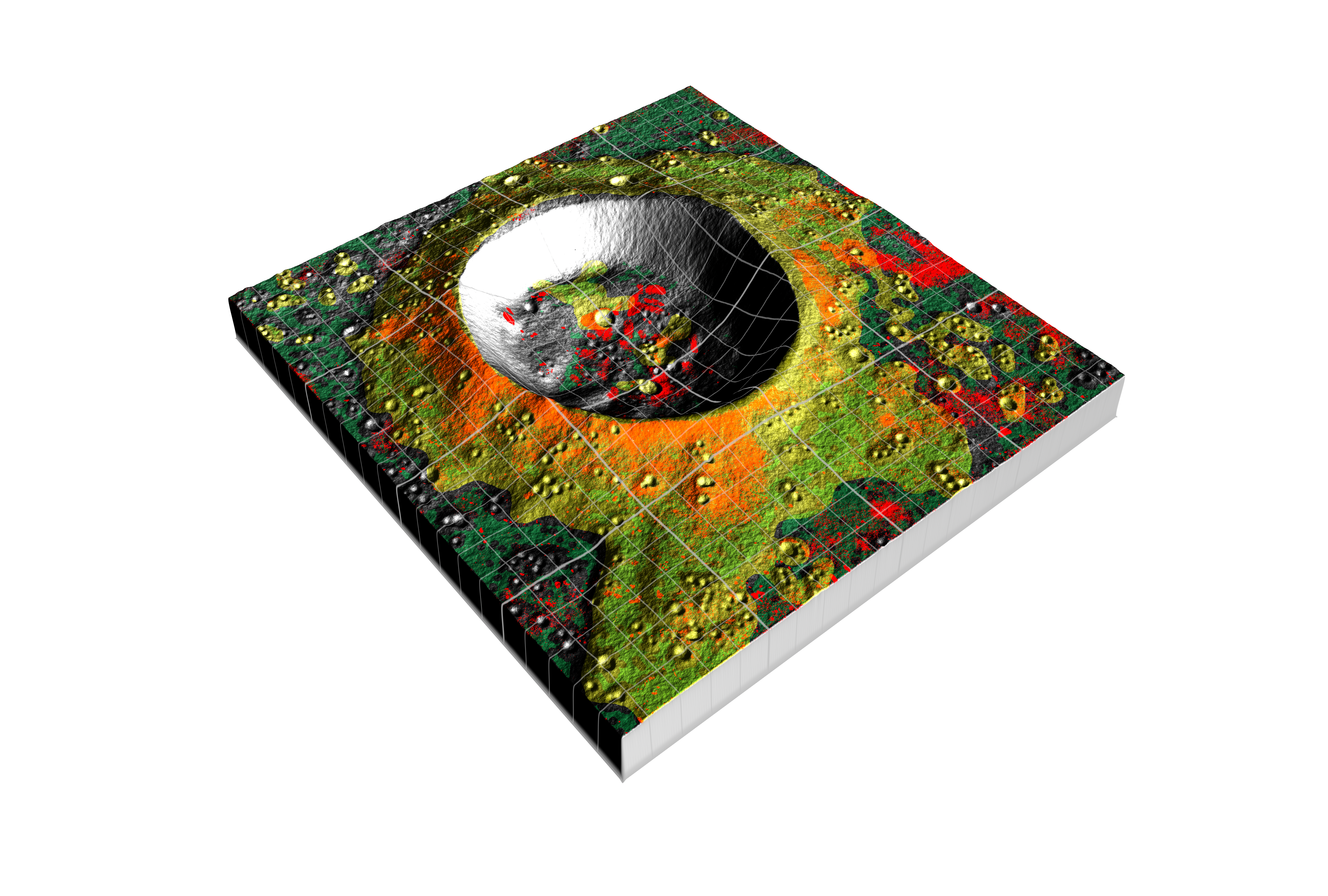
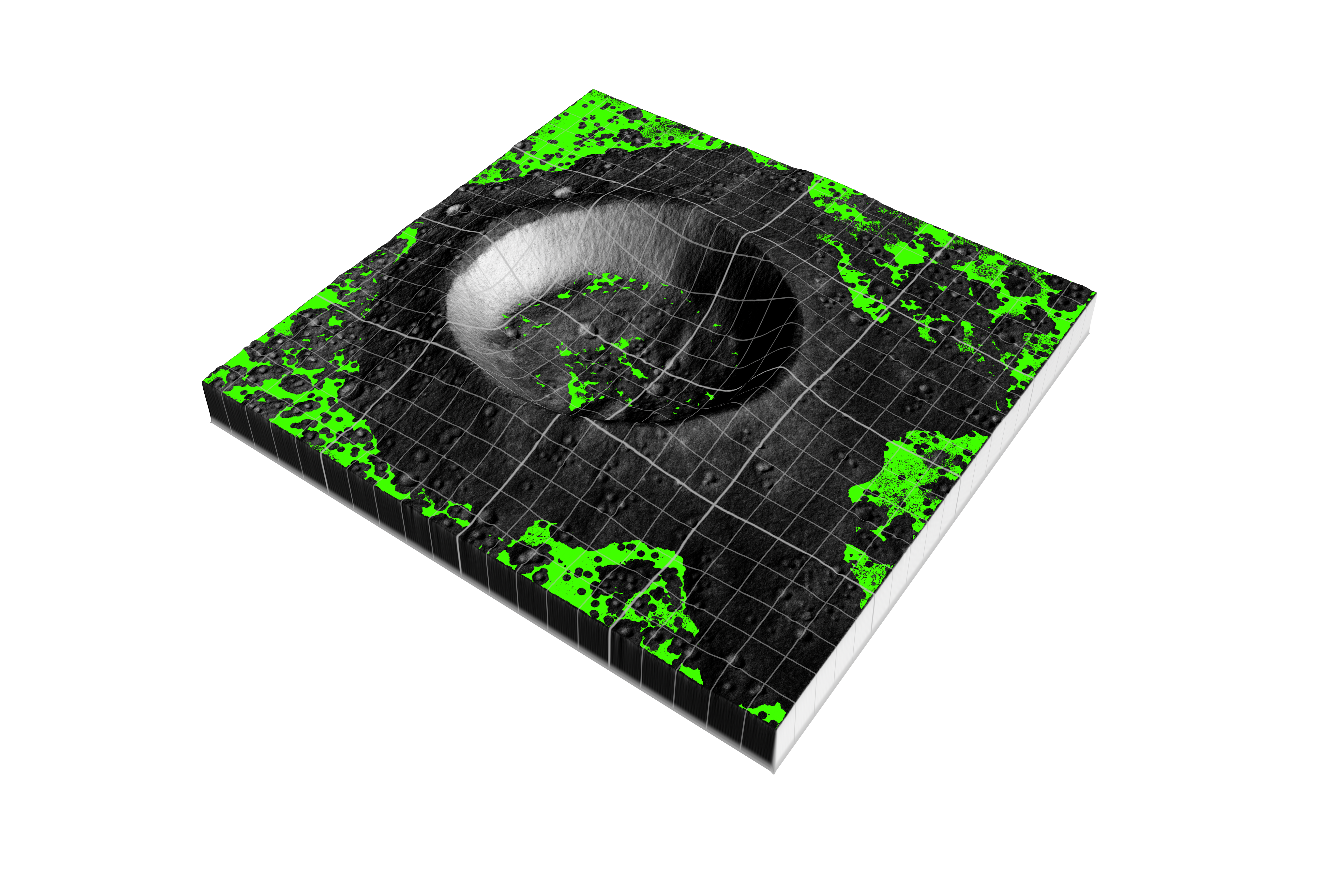
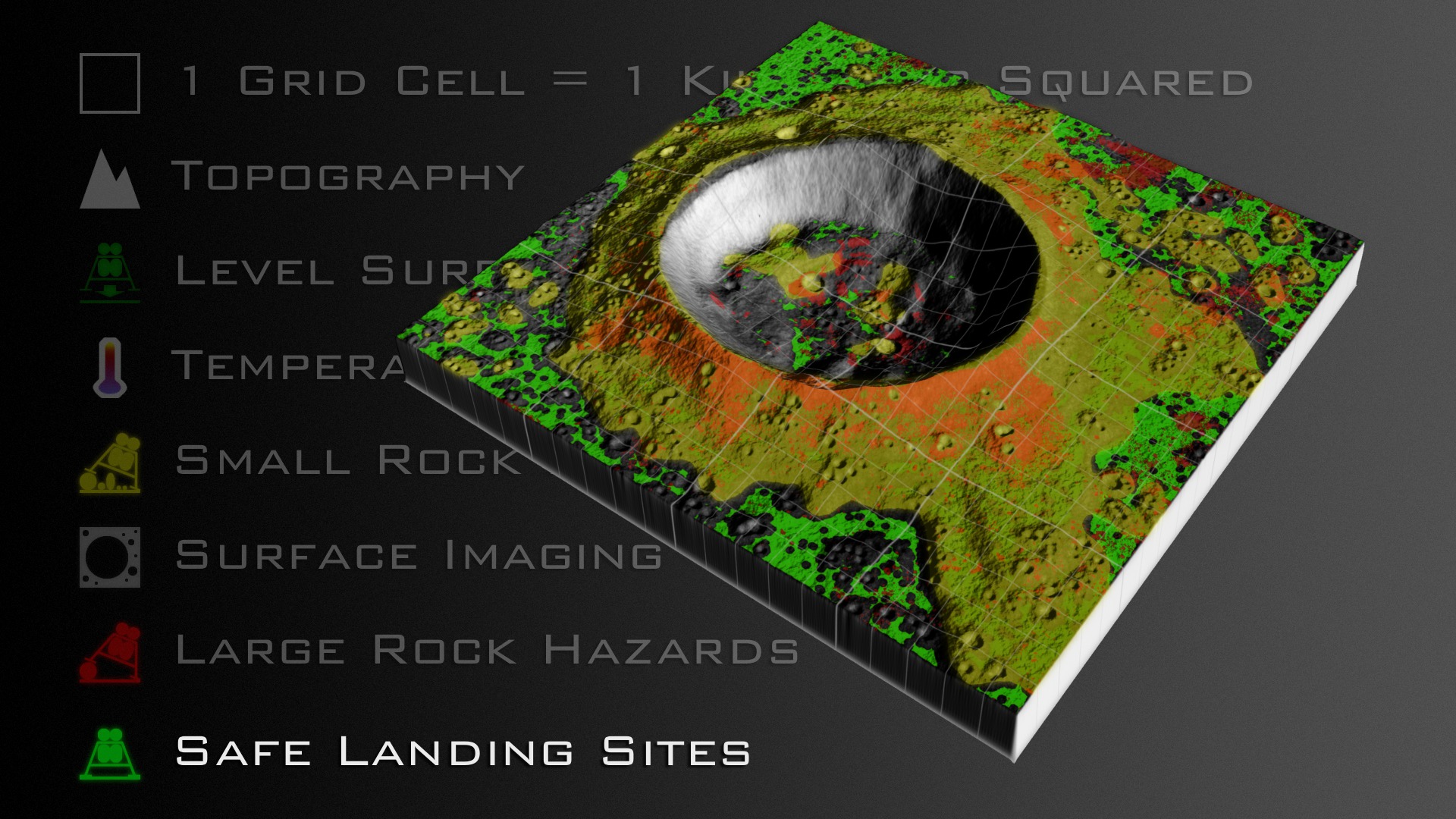
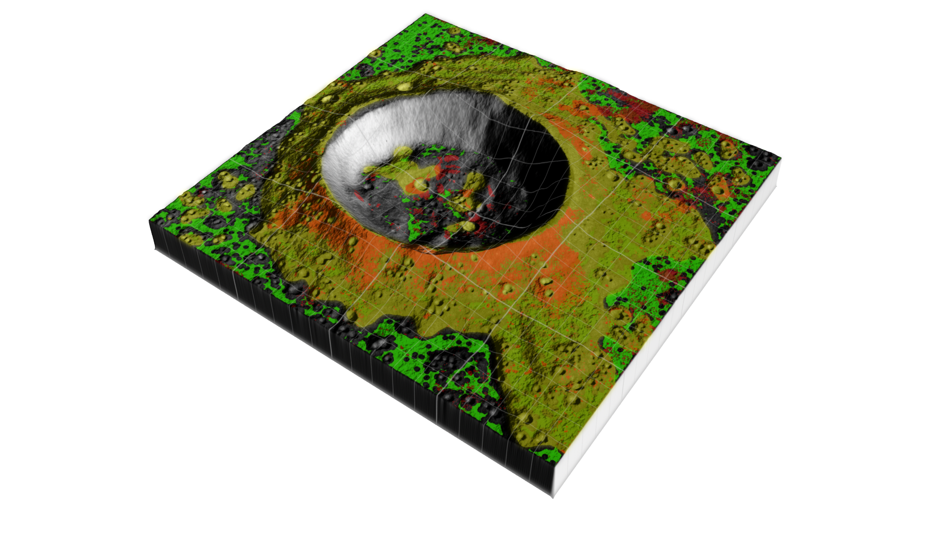
In general, good landing sites need to be level and free from large boulders that could damage or tip the spacecraft as it attempts to land. And it's up to LRO to make those landings as safe as possible.
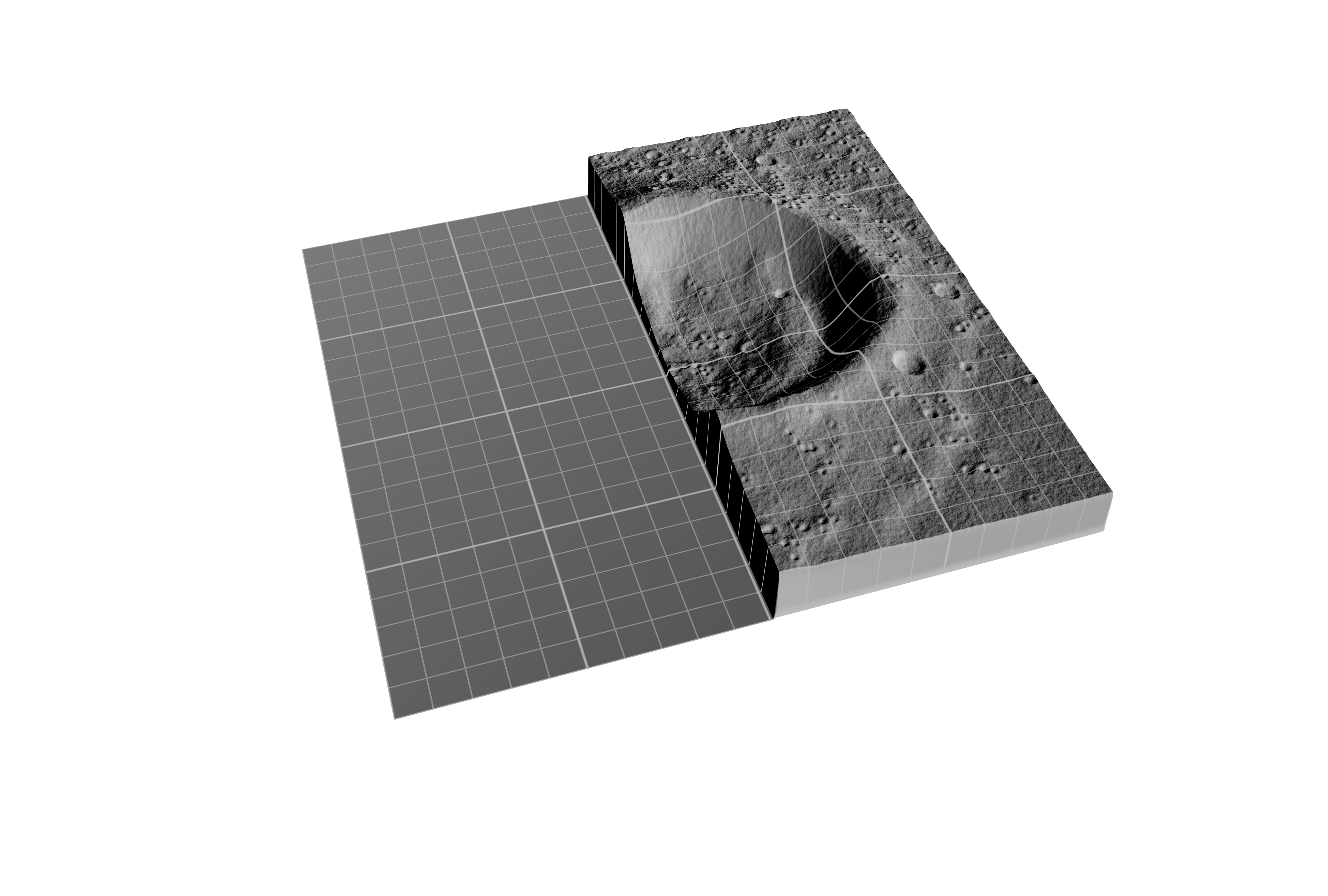
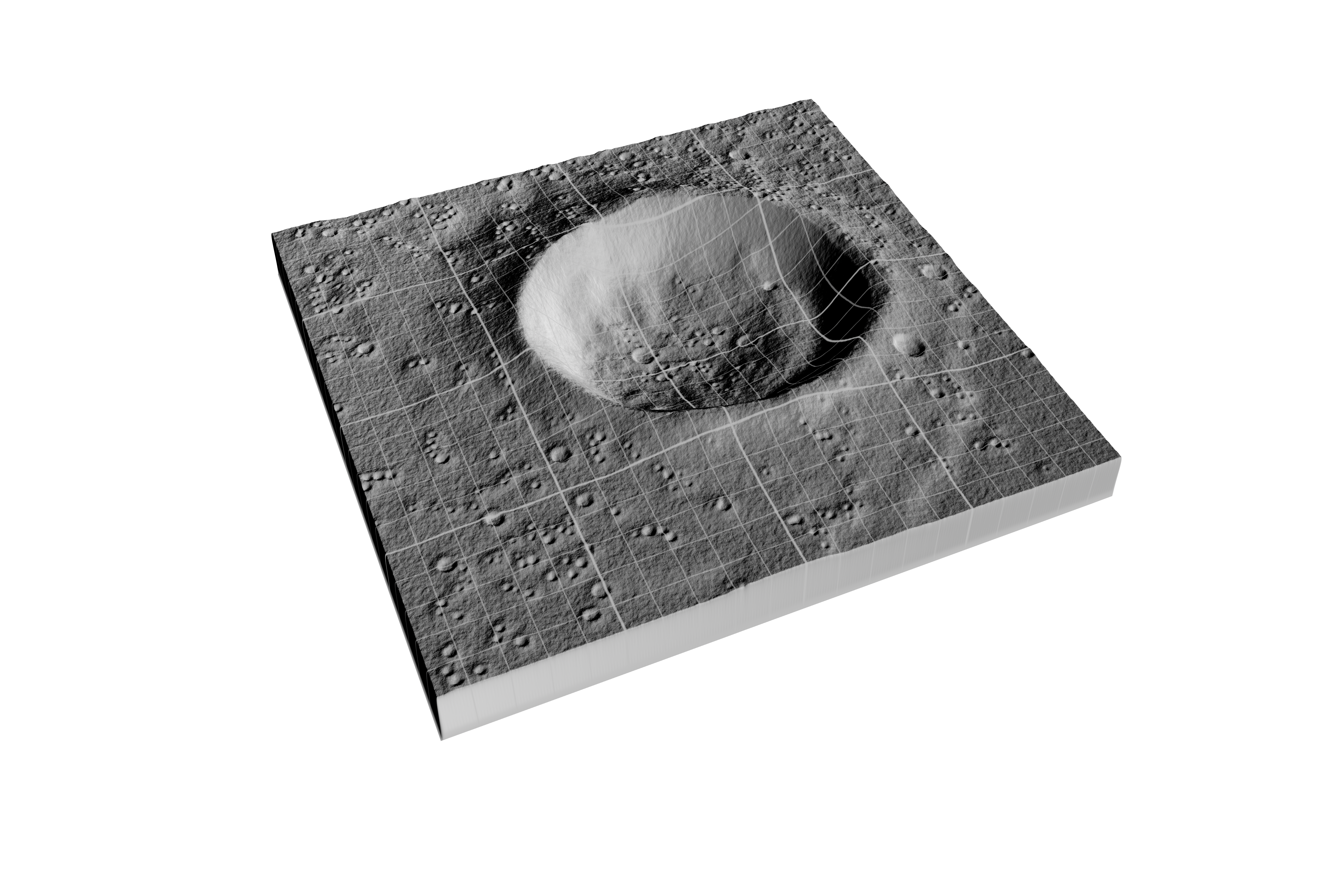
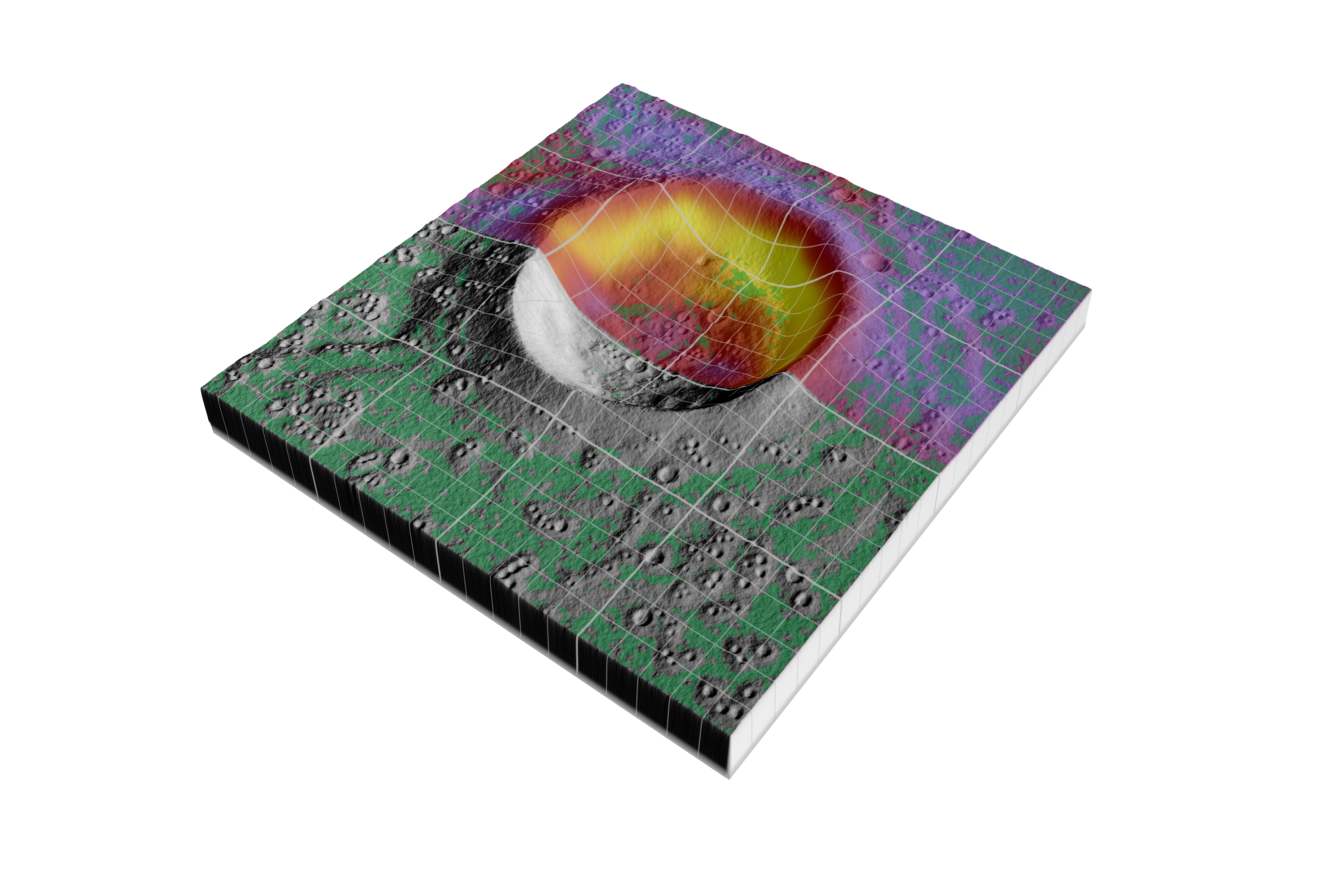
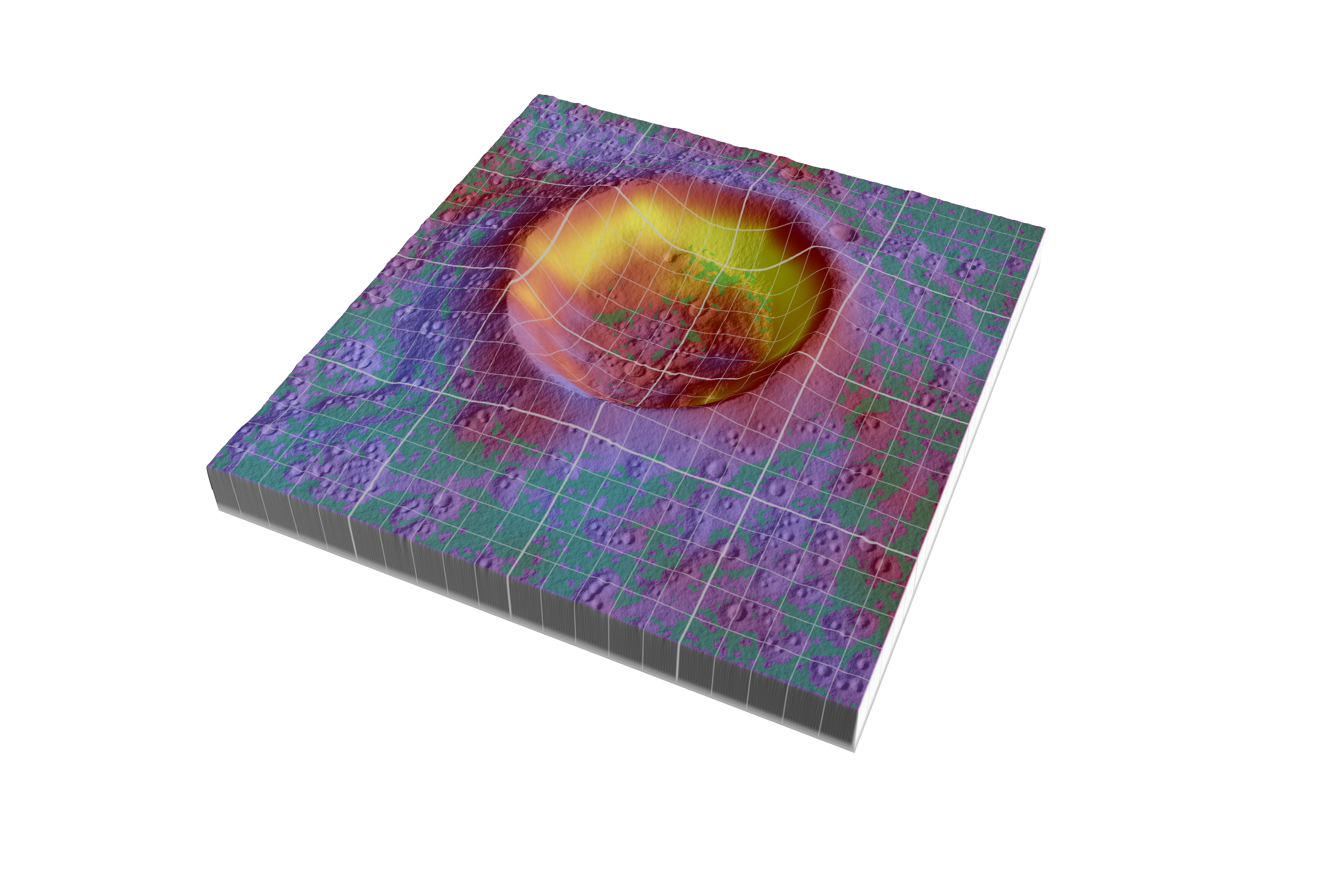
Astronauts will want to avoid places with steep slopes that could tip the spacecraft, so LRO includes a laser ranging system that will build an elevation map to show the contours of the polar surface. The instrument, called the Lunar Orbiter Laser Altimeter (LOLA), records the time it takes for a laser pulse to travel from the spacecraft to the lunar surface and back to calculate the height of the lunar terrain. After a year in orbit aboard LRO, LOLA will have created an elevation map of the polar regions that is accurate to within a half-meter (20 inches) vertically and 50 meters (about 160 feet) horizontally.
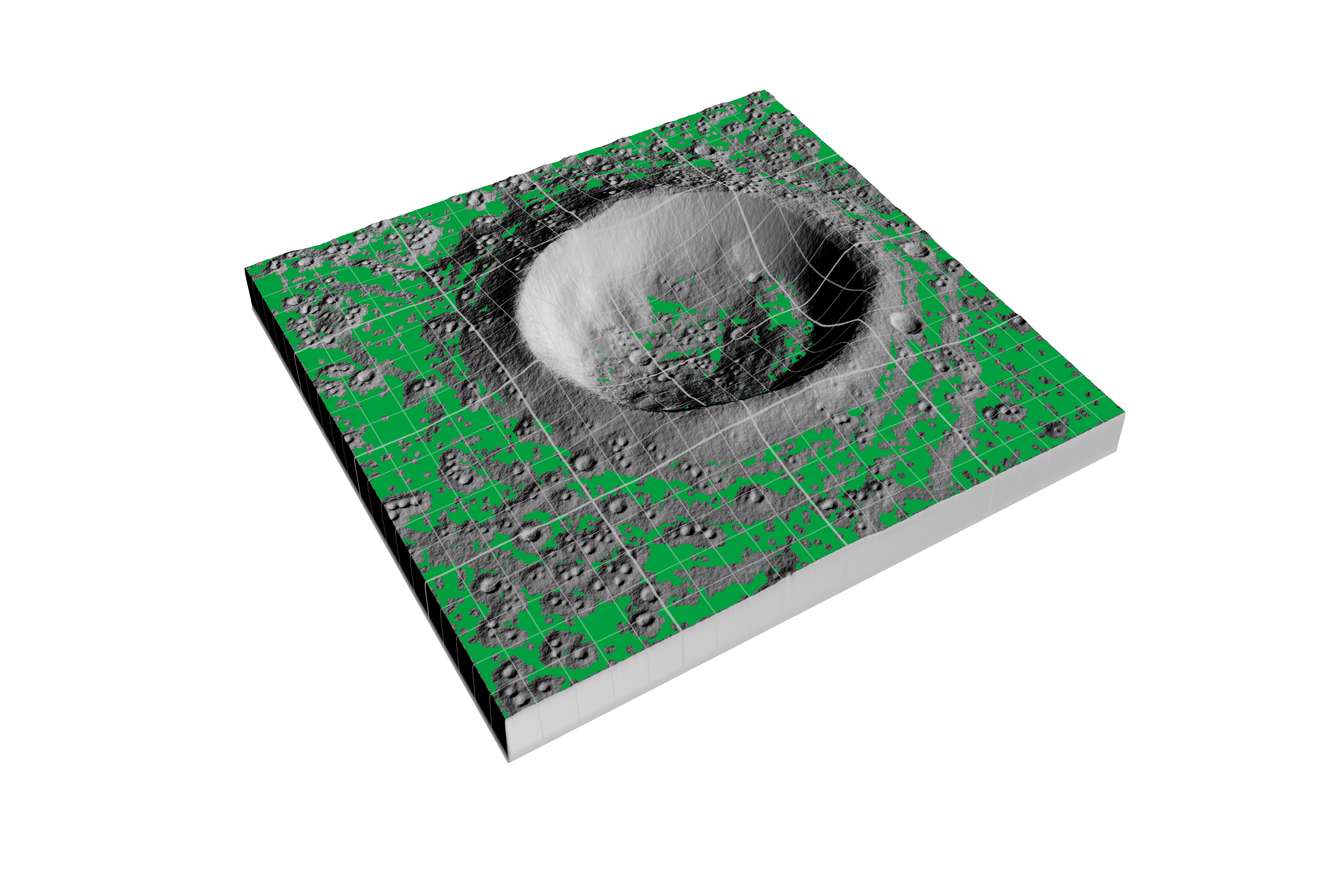
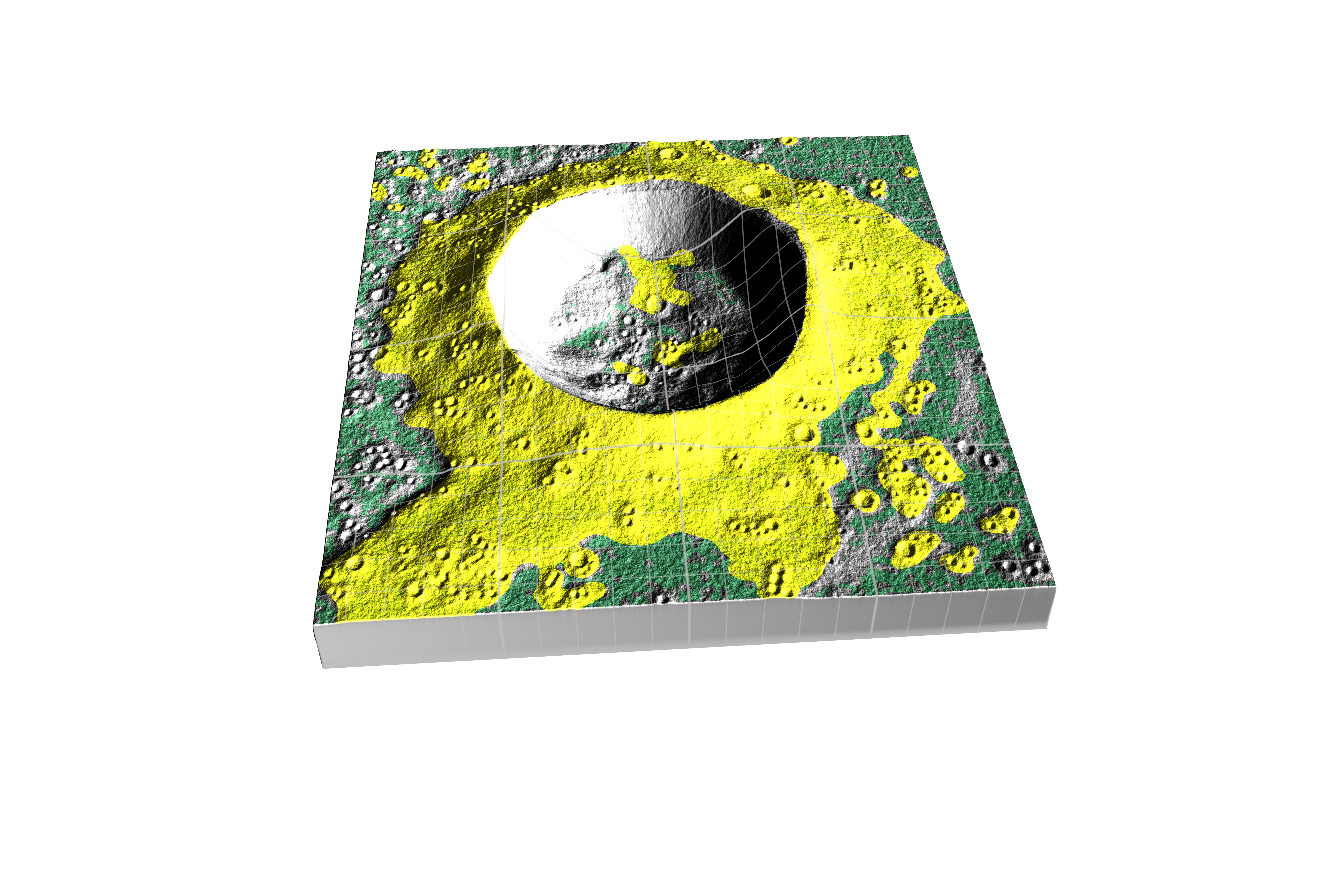
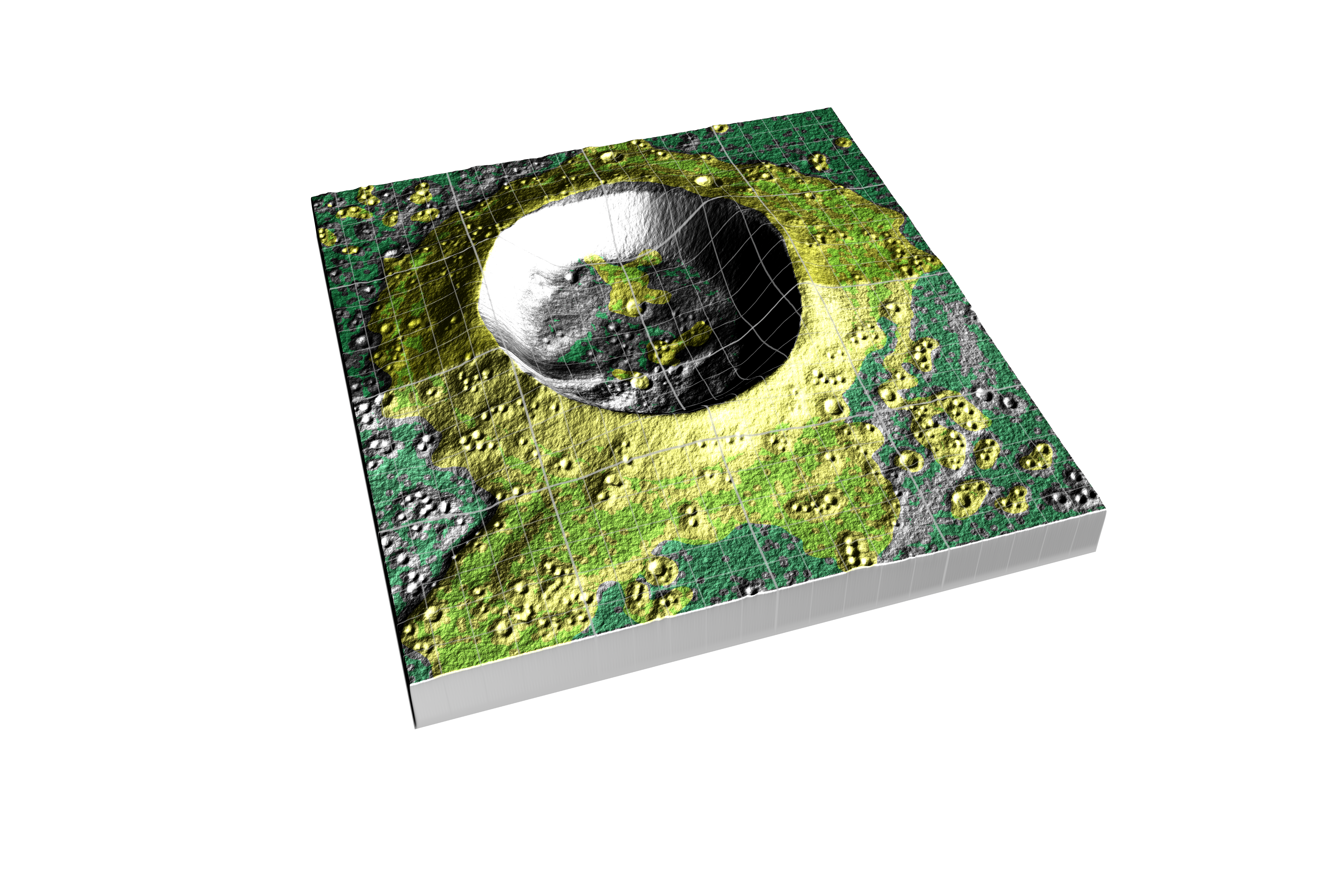
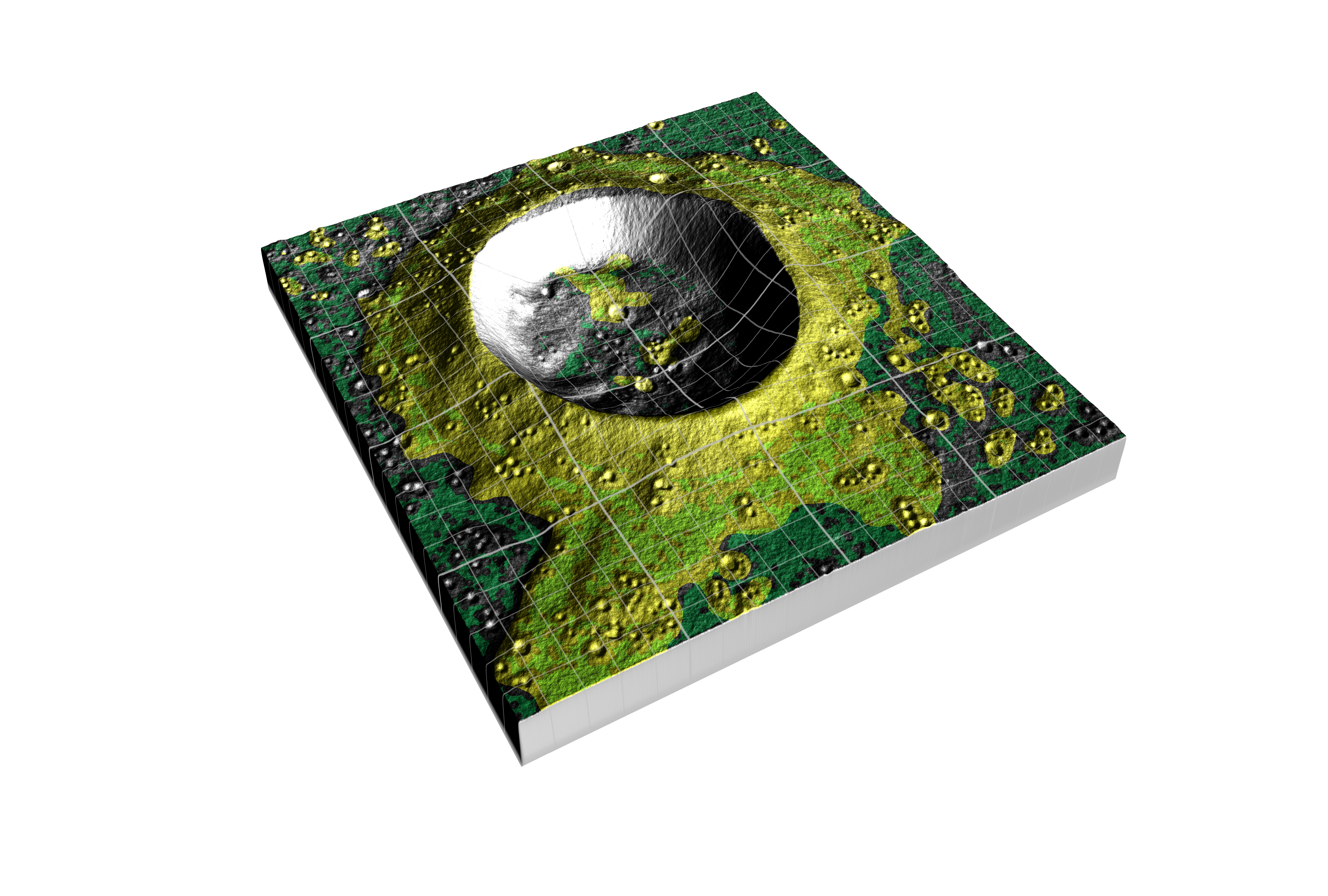
LRO will also use data from another instrument that measures temperatures to double-check the safe zone map. Temperatures change more rapidly in areas with loose materials (lots of rocks). By analyzing how quickly temperatures change in potential landing zones, planners using the instrument, named Diviner, can rule out areas that appear smooth but actually are likely to be rocky.
LRO also carries a pair of eagle-eyed cameras, called the Narrow Angle Cameras (NACs) which together can take images that reveal details as small as a half-meter (almost 20 inches) over swaths 10 kilometers (about 6.2 miles) wide. As LRO orbits over the poles, the moon rotates beneath the spacecraft, and the NACs will gradually build up a detailed picture of the region. It will be used to identify safe landing zones free of large boulders and craters, allowing astronauts to avoid surprises like Apollo 11.
LRO is scheduled to launch in 2009.
For a 3D stereo version of this visualization, please visit animation #3567: How LRO Will Find Safe Landing Sites on the Moon - Stereoscopic version
For a feature version of this visualization with narration and music, please visit Goddard Multimedia #10349: LRO Scouts for Safe Landing Sites
For More Information
Visualization Credits
Wade Sisler (NASA/GSFC): Producer
Andrew Freeberg (NASA/GSFC): Producer
John Keller (NASA/GSFC): Scientist
William Steigerwald (NASA/GSFC): Writer
NASA/Goddard Space Flight Center Scientific Visualization Studio Reference DEM data provided by: Jay Friedlander (QSS, Code 672)
https://svs.gsfc.nasa.gov/3533
Mission:
LRO (Lunar Reconnaissance Orbiter)
Data Used:
LRO/Diviner
This item is part of this series:
LRO - Animations
Keywords:
SVS >> HDTV
SVS >> Hyperwall
SVS >> Lunar Reconnaissance Orbiter
NASA Science >> Planets and Moons
SVS >> Presentation


